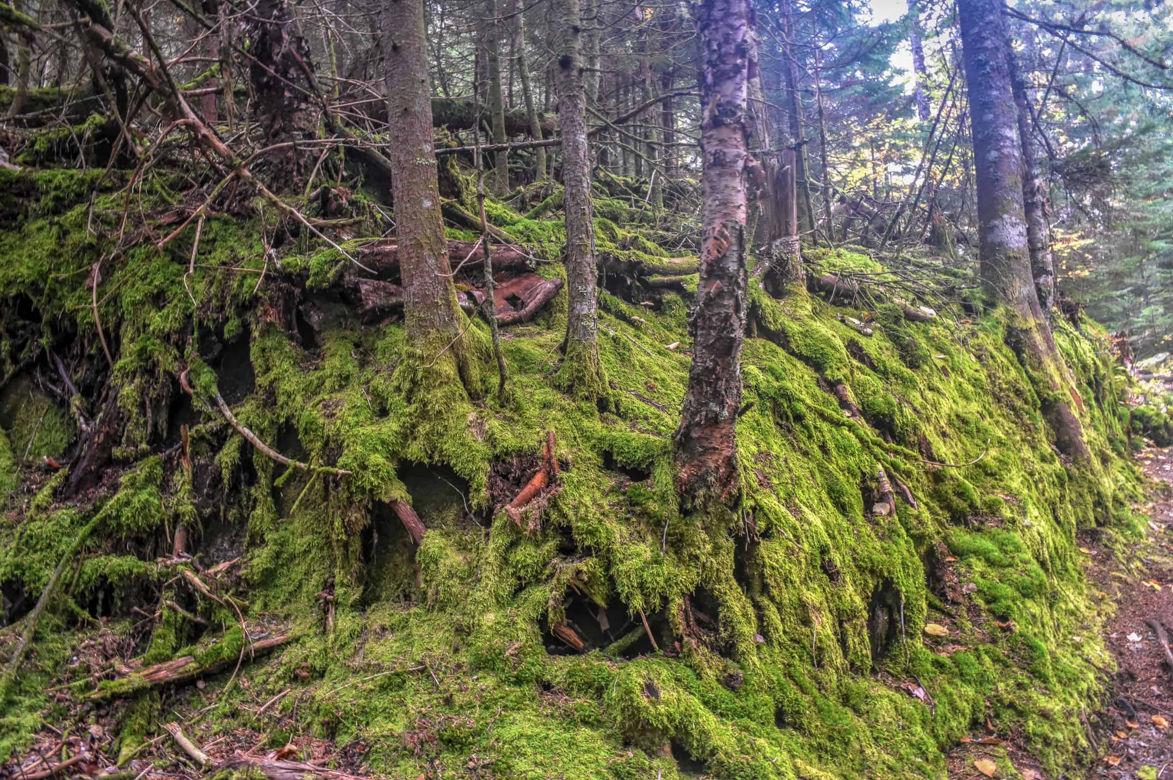
If you want to find yourself lost in nature while immersing yourself in some beautiful landscapes, without having to go too far from Montreal, then you might want to discover some of Québec’s National Parks. Most people don’t realize that the province’s biggest city has no less than 6 National Parks within a 2-hour drive of it, with several more within a 3-hour drive. To help you plan your next outdoor adventures and weekend escapades, we put together this guide on the Best National Parks for Hiking Near Montreal.
Disclosure: This page (Best National Parks Near Montreal) may contain product affiliate links. At no additional cost to you, we may receive a commission for purchases made through these links. More details can be found on our disclosure and policies page.
You might be interested in these pages:
Best Hiking Trails Near Montreal
Best Hiking Trails Near Mont Tremblant
Best Hiking Trails in the Eastern Townships
Quebec Hiking Trails that Are Stunning in Winter


If you need to book a rental vehicle for your hiking excursion, we highly recommend using Discover Cars to get the best rates on your rental in Montreal.
We also highly recommend Airalo (eSIM card) for your connectivity needs when travelling abroad. Airalo is the world’s first and largest eSIM store with eSIM plans for 200+ countries and regions worldwide.
A Primer on Quebec National Parks
The Quebec National Parks are provincial parks created by the government of Quebec – as of 2024 there are 28 such national parks and all but four of them are administered by the Société des établissements de plein air du Québec (Sépaq) (Nunavik Parks administer the others).
Although all provincial parks in Quebec have used the term “national park” since 2002, there is no connection to the federal national park system, administered by Parks Canada. There are only three Canadian National Parks (managed by Parks Canada) in Quebec, with only one close to Montreal, La Mauricie National Park. Although it’s just over two hours from Montreal, it won’t be covered in this guide.
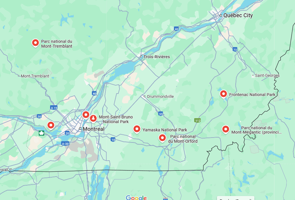
National Park Locations
The map below shows 8 of the closest national parks to Montreal.
Left to right (National Parks): Mont-Tremblant, Oka, Iles-de-Boucherville, Mont-Saint-Bruno, Yamaska, Mont-Orford, Frontenac, and Mont-Mégantic.
Park Access Fees
Access fees are identical for all Quebec National Parks.
Daily access fees and Annual passes
Quebec National Parks are managed by the SÉPAQ, a government agency that manages all provincial parks and wildlife preserves in Québec.
There is a limit to the number of visitors that can enter any Québec SÉPAQ National Park on any given day. It is therefore strongly recommended that you purchase your daily right of access online before a visit or that you acquire an annual pass.
The daily pass ($9.85 (2024)) can be purchased here up to 30 days before a visit.
The annual pass can be purchased here either for unlimited access to a single national park ($49.25 (2024)) or for unlimited access to all SÉPAQ national parks ($88.50 (2024)). Even if you have an annual pass, we still recommend arriving early in the morning or mid-to-late afternoon to avoid showing up to a filled parking lot.
Parking is generally free in the national parks (included in the access fee), except that additional parking fees apply in Mont-Orford, Oka, and Yamaska National Parks when the beaches are supervised by lifeguards during the summer months.
Most parks have equipment rental services available from their respective visitor centers. In summer, canoes, kayaks, paddle boards, pedal boats, and bicycles can generally be rented for the day. In winter, fat bikes, ice cleats or snowshoes, and cross-country skies are also available for rent in most parks.
Below, when we indicate that a specific park has the infrastructure for a certain activity (e.g. snowshoeing) that generally means that the required equipment to practice the activity (e.g. snowshoes) will be available for rent in that park.
National Parks Within 1 hour of Montreal
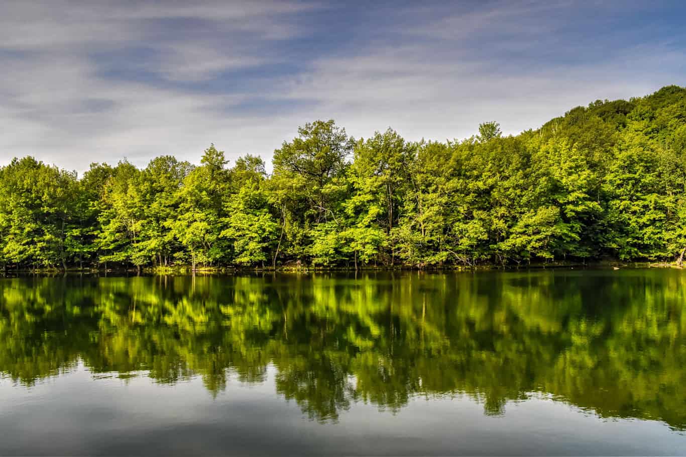
Îles-de-Boucherville National Park
(Parc national des Îles-de-Boucherville) – This is both the closest National Park to Montreal and one of the few that is devoid of any significant elevation changes (i.e., no mountains), so you won’t encounter challenging trails here. The park is composed of 5 islands located in the middle of the Saint-Lawrence River and was created in 1984 to protect the island archipelago. There’s also an archeological site in the park, the Boucher-de-Grosbois Archeological Site, where archeologists found 2500-year-old human-made objects. There’s also a recreation of an impressive aboriginal hut.


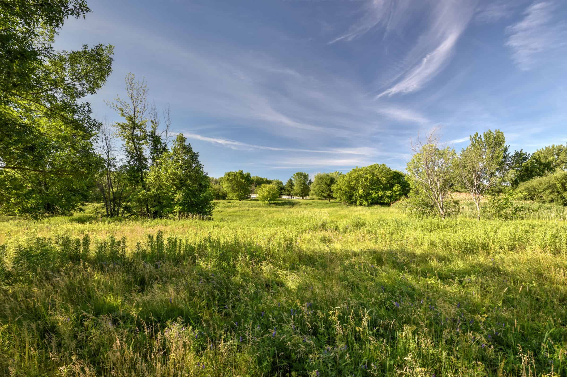
This park offers lots of open green spaces, small forests, channels teeming with life and waterside trails. The park is great for both enjoying nature walking trails and some leisurely cycling. There are also a lot of beautiful picnic areas throughout the park. The park is also a great place to see wildlife without being far from the city. In particular, over a hundred deer (2024) inhabit the island. The park is also very popular among bird watchers.


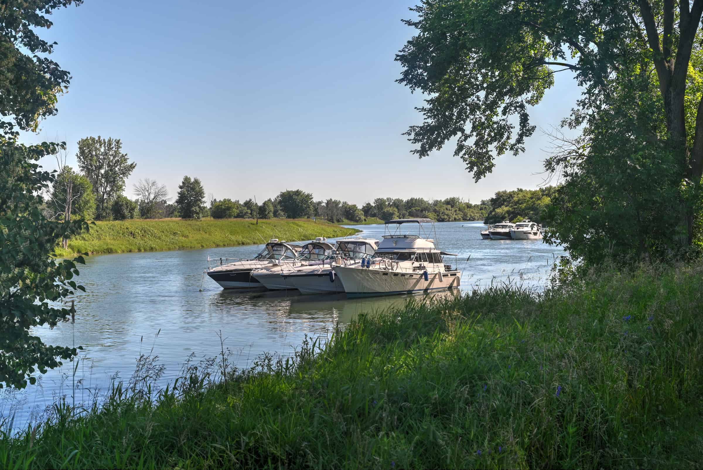
Compared to the other parks close to Montreal, one of the unique draws here is the opportunity to do some river kayaking around the park’s islands.


Best Summer Activities
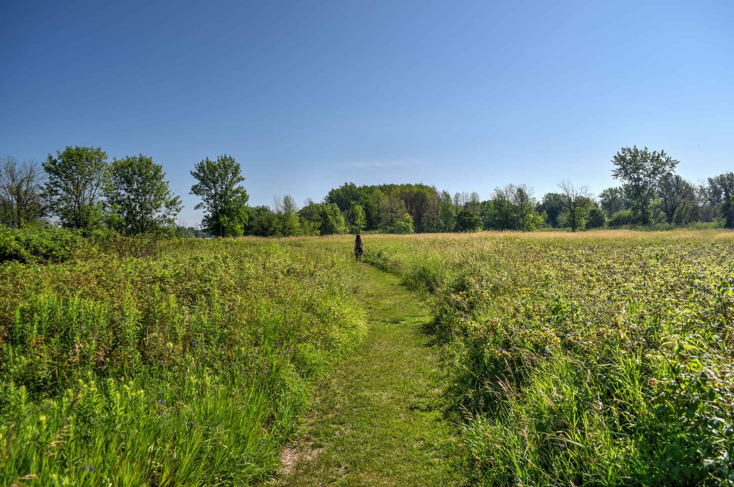
– Hiking only:: 4 trails (12 km total)
– Cycling/walking multipurpose trails: 3 trails (21 km)
– Sea Kayaking, Canoeing, Paddleboarding: 2 nautical trails (12 km)
Best Winter Activities
– Winter Hiking: 2 trails (12 km)
– Snowshoeing: 4 trails (17 km)
– Cross-country Skiing: 1 trail (7.7 km)
– Fat Bike: 1 trail (7 km)
For more information on this national park and its trails, be sure to check out our Îles-de-Boucherville National Park guide.
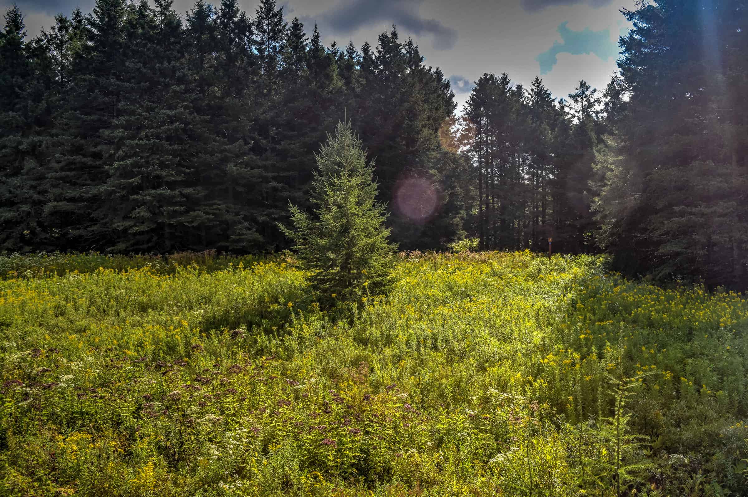
Mont Saint-Bruno National Park
(Parc national du Mont Saint-Bruno) – This park is the second closest to Montreal and includes one of the Monteregian Hills, Mont-Saint-Bruno, which is shared with the Saint-Bruno Mountain and Ski Resort. Despite its relatively small size, the mountain is known for its rich fauna and flora. In 1976, the Government of Quebec acquired part of the mountain. It established a park in 1985 that, since 1999, is managed by the SEPAQ. One of the park’s notable features is the collection of five lakes that are found near the mountain summit. There are also over 250 deer that inhabit the park (2024).
Another unique feature of this park is the Vieux-Moulin Tea Room. Here you’ll find specialty coffees and teas, Viennese pastries, smoothies, and fine chocolates within the charm and comfort of this 300-year-old mill.


Best Summer Activities
– Hiking only: 5 trails (25 km total)
– Cycling/walking multipurpose trails: 1 trail (7 km)
– Canoeing, Paddleboarding: on a 400 m x 400 m lake (Lac des Bouleaux)
Best Winter Activities
– Winter Hiking: 2 trails (10.5 km)
– Snowshoeing: 2 trails (5.5 km)
– Cross-country Skiing: 8 trails (35 km)
– Fat Bike: 5 trails (15 km)
For more information on this national park and its trails, be sure to check out our Mont-Saint-Bruno National Park guide.
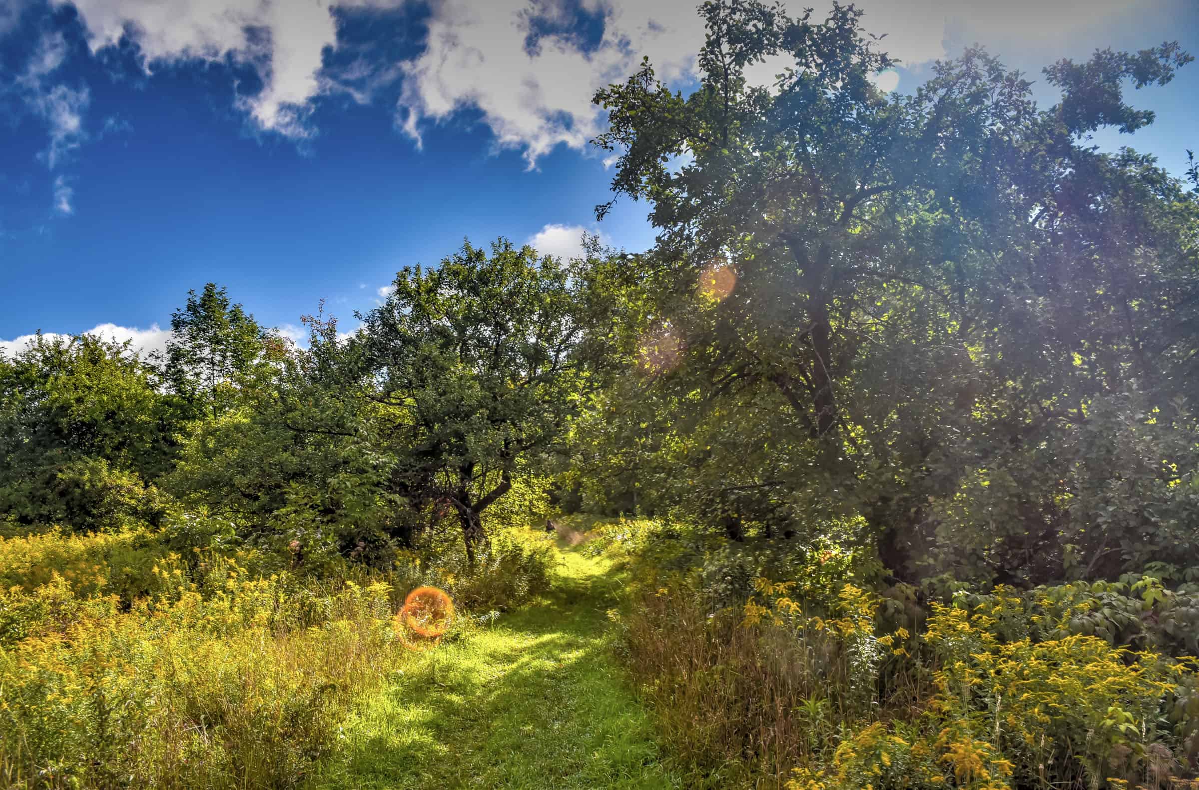
Oka National Park
(Parc National d’Oka) – The Park is home to one of the largest heronries in Quebec (breeding ground for herons) and the historical site of Calvaire d’Oka (Calvary of Oka), where you’ll find a religious trail in the mountain with four oratories and three chapels that date from the early 1740s. You’ll find a little bit of everything in this park, including a small mountain to climb, wetland marshes, a small interior lake, a very large lake just outside the park boundaries, and the largest beach in the greater Montreal area (Oka Beach)


Best Summer Activities
– Hiking: 4 trails (16 km total)
– Cycling/walking multipurpose trails: 3 trails (17 km)
– Mountain Biking: 1 trail (7 km)
– Kayaking, Paddleboarding, Pedal Boat: in the huge Lac-des-Deux-Montagnes
– Beach/Swimming*
*The park is popular during the summer months with swimmers and sunbathers due to its nearly 1 km-long beach along the shores of the Lac-des-Deux Montages.
Best Winter Activities
– Winter Hiking: 3 trails (14 km)
– Snowshoeing: 6 trails (40 km)
– Cross-country Skiing: 5 trails (40 km)
– Fat Bike: 11 trails (50 km)
– Ice Fishing: typically from early January to late March
For more information on this national park and its trails, be sure to check out our Oka National Park guide.
National Parks Within 2 hours of Montreal
Yamaska National Park
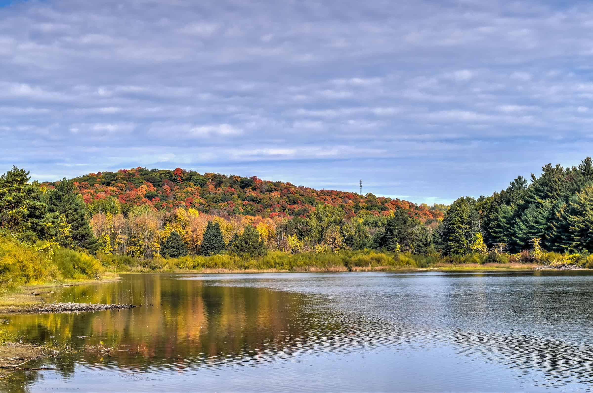
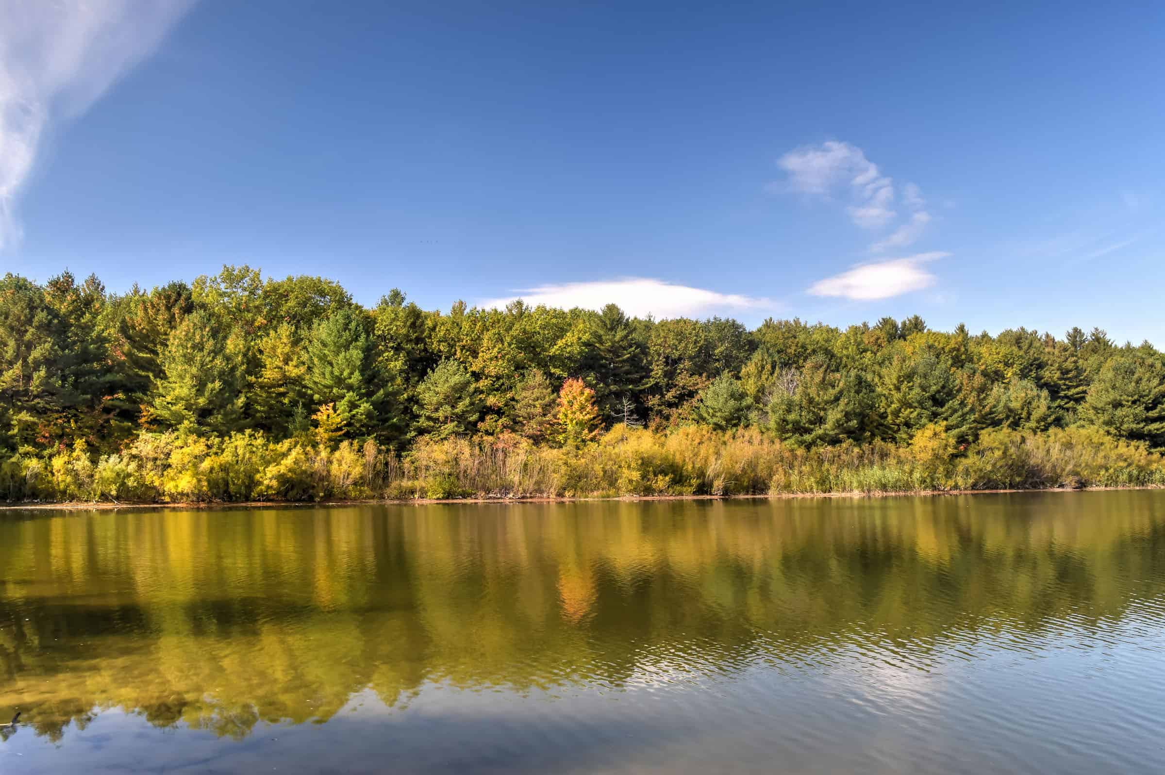
(Parc National de la Yamaska) – Yamaska National Park is centred on the large man-made Choinière Reservoir. The creation of a reservoir on former agricultural and forest lands took place in the early 1970s. Designed to regulate the flow of Rivière Yamaska Nord, this large body of water in a region with few lakes offered undeniable recreational potential, which justified some enhancement actions and guaranteed the protection of the natural environment. Today the vast reservoir is teeming with life: fish, ducks and Great Blue Herons call the park home. Due to the park’s relatively flat terrain is popular with both hikers and cyclists alike.


Best Summer Activities
– Hiking: 4 trails (24 km total)
– Cycling/walking multipurpose trails: 1 trail (19 km)
– Sea Kayaking, Canoeing, Paddleboarding: in the large Choinière Reservoir
– Beach/Swimming: along a 300 m beach on the shores of the Reservoir
– Fishing (Québec fishing licence required; extra park fee)
Best Winter Activities
– Winter Hiking: several kilometres of trails (exact number is currently not disclosed)
– Snowshoeing: 4 trails (21 km)
– Fat Bike: several kilometres of trails (exact number is currently not disclosed)
– Ice Fishing: typically from early January to late March
For more information on this national park and its trails, be sure to check out our Yamaska National Park guide.
Mont-Orford National Park
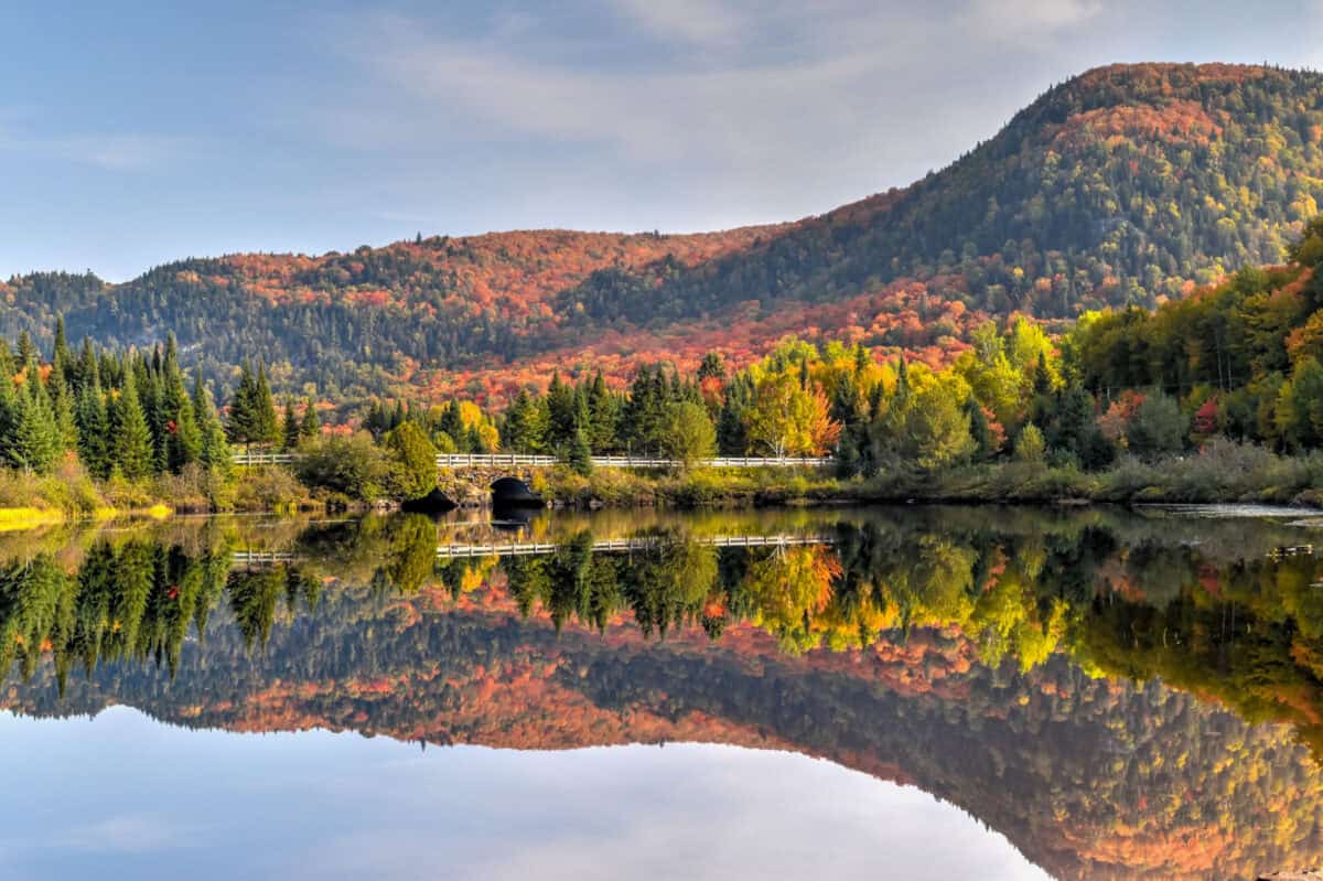
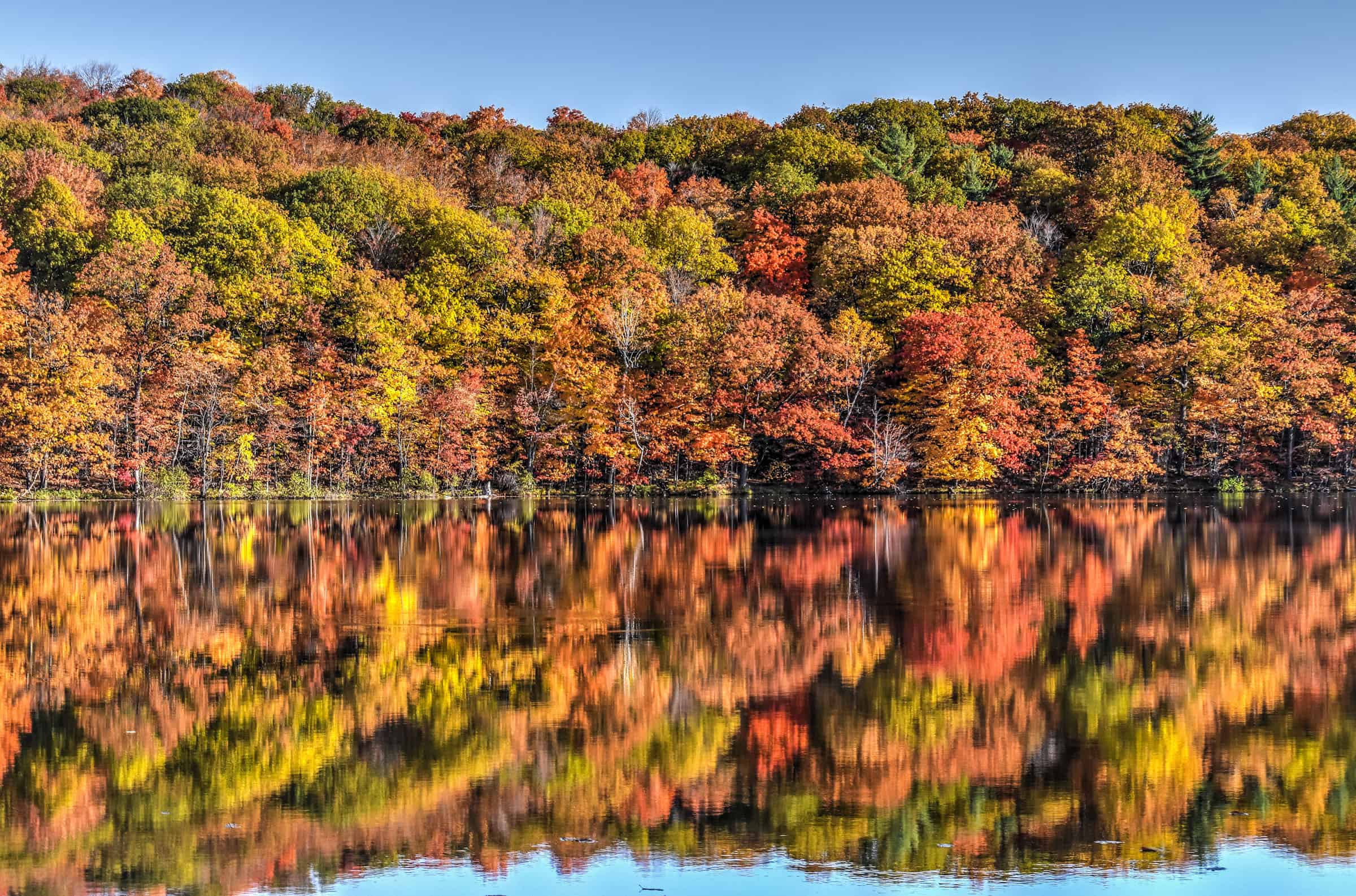
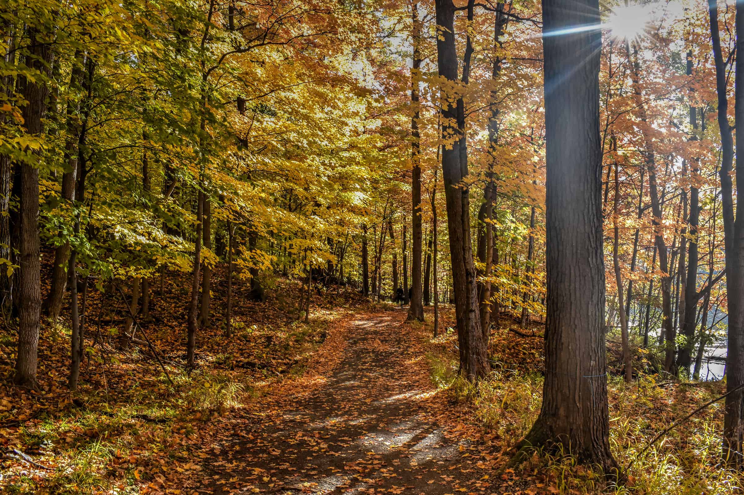
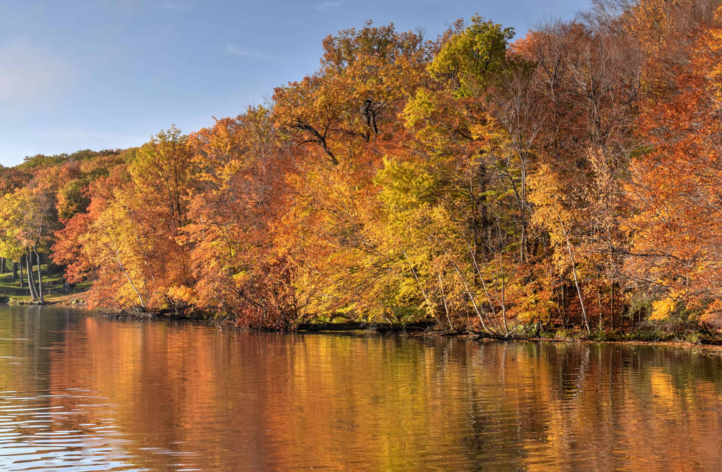
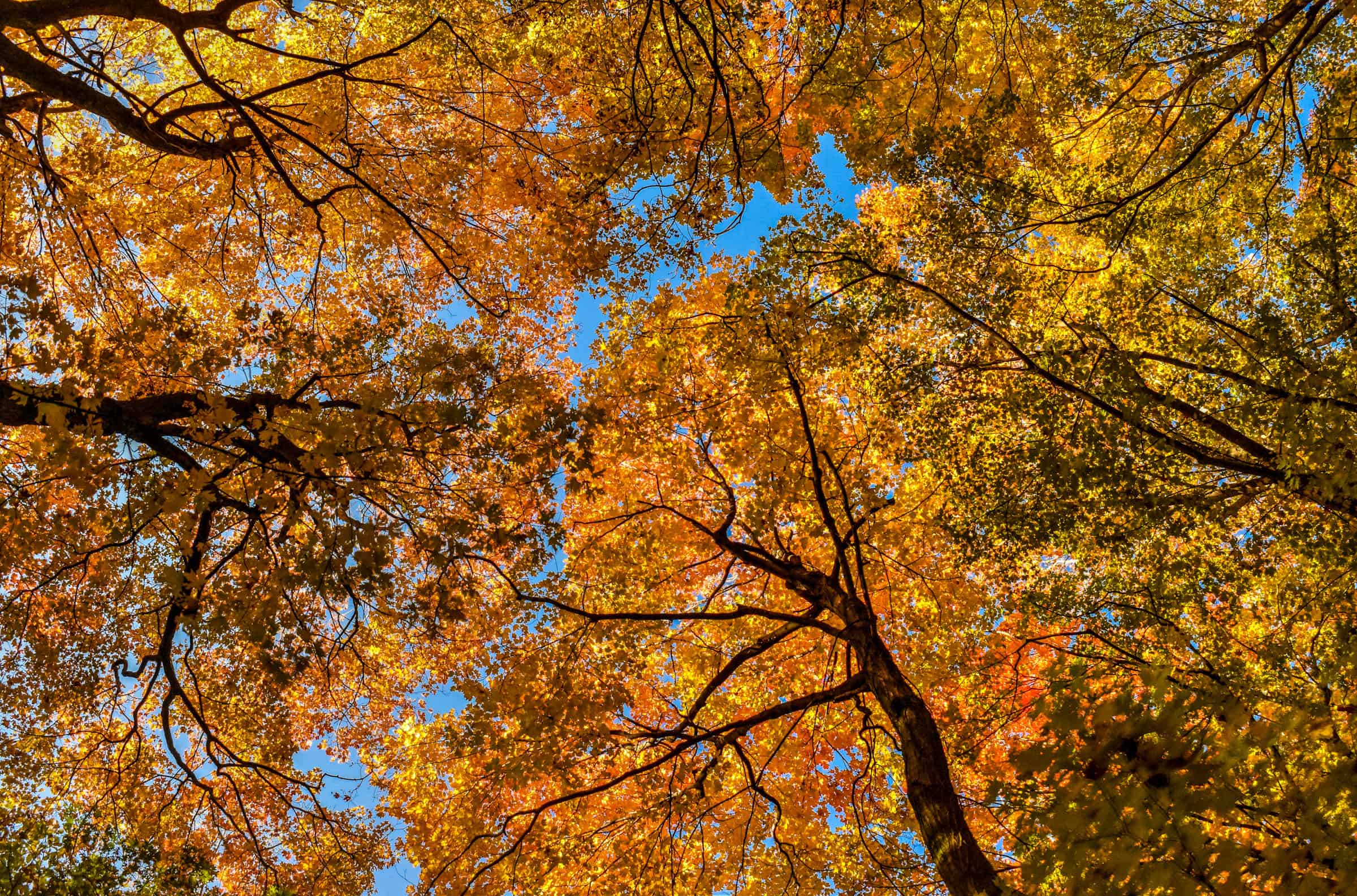
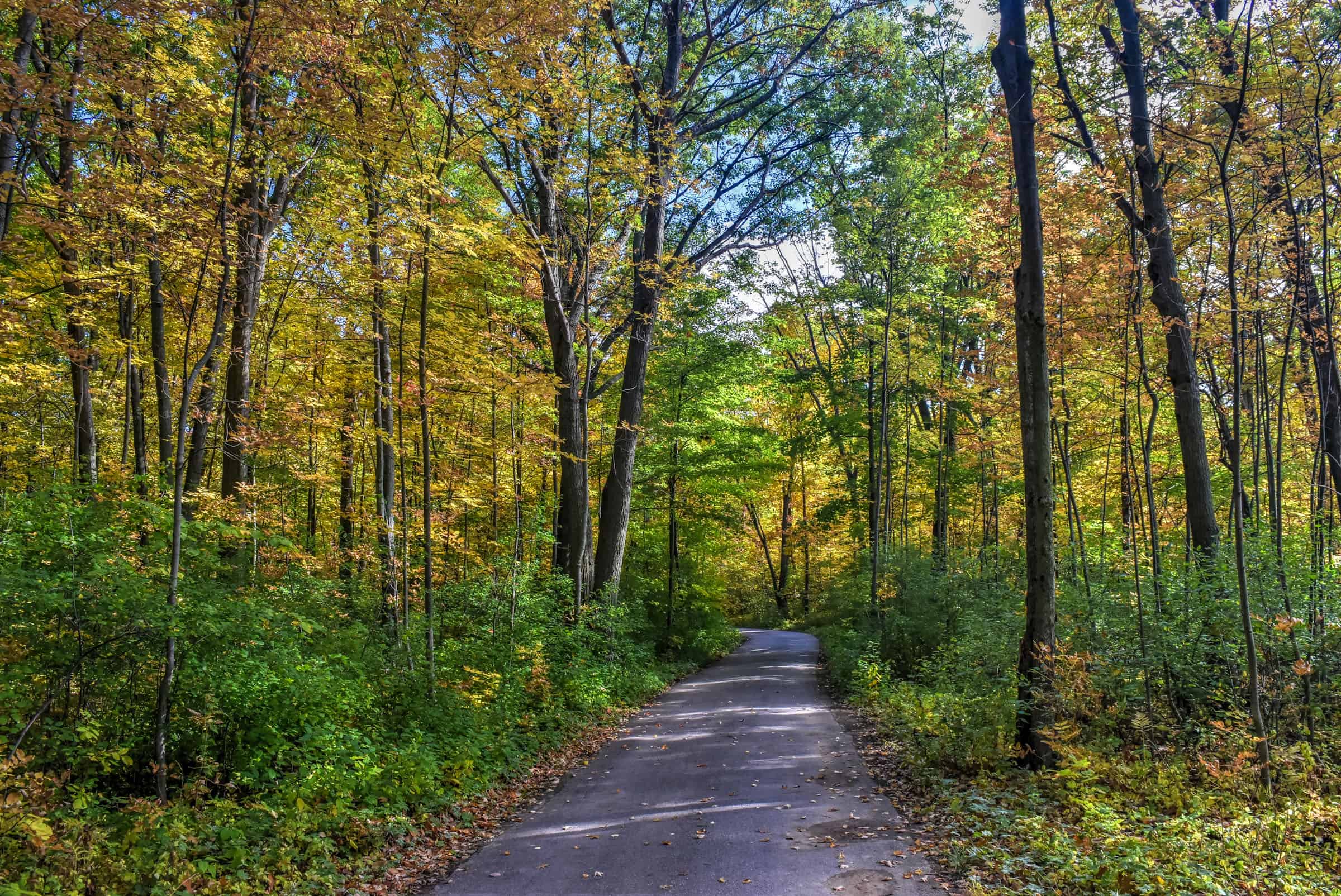
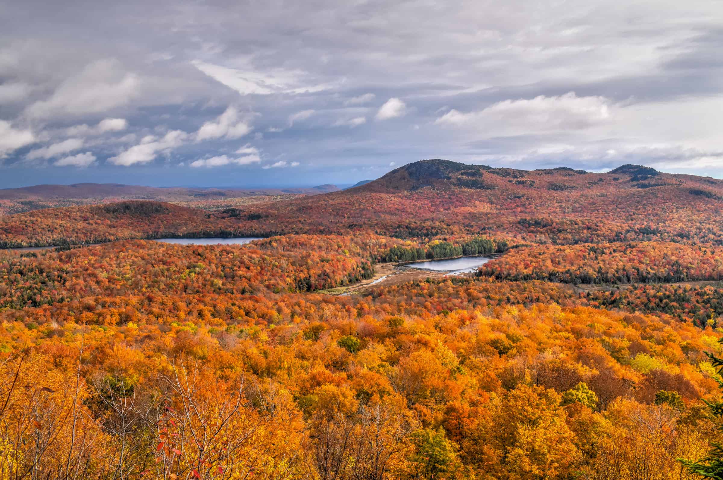
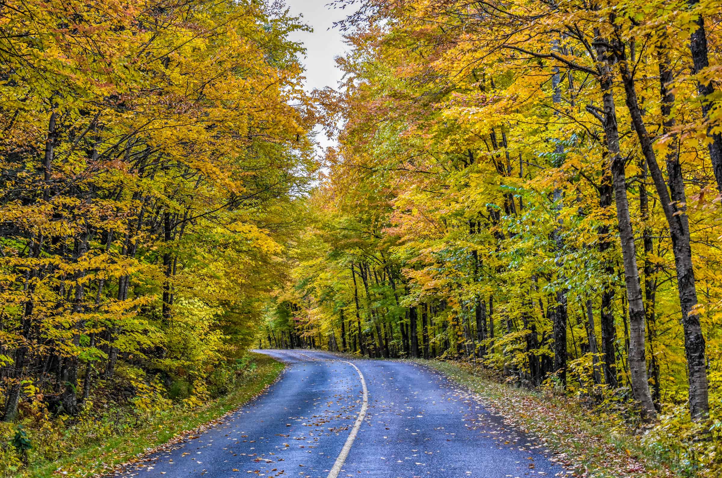
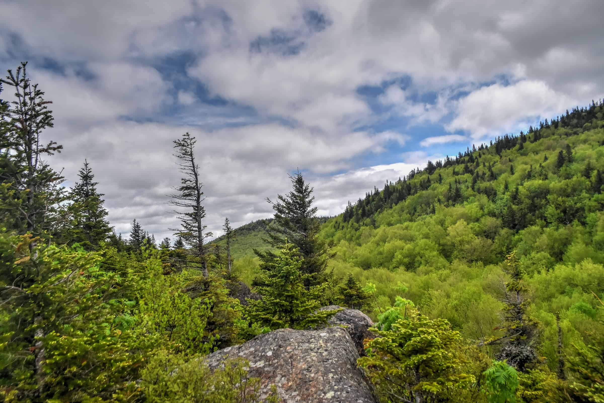
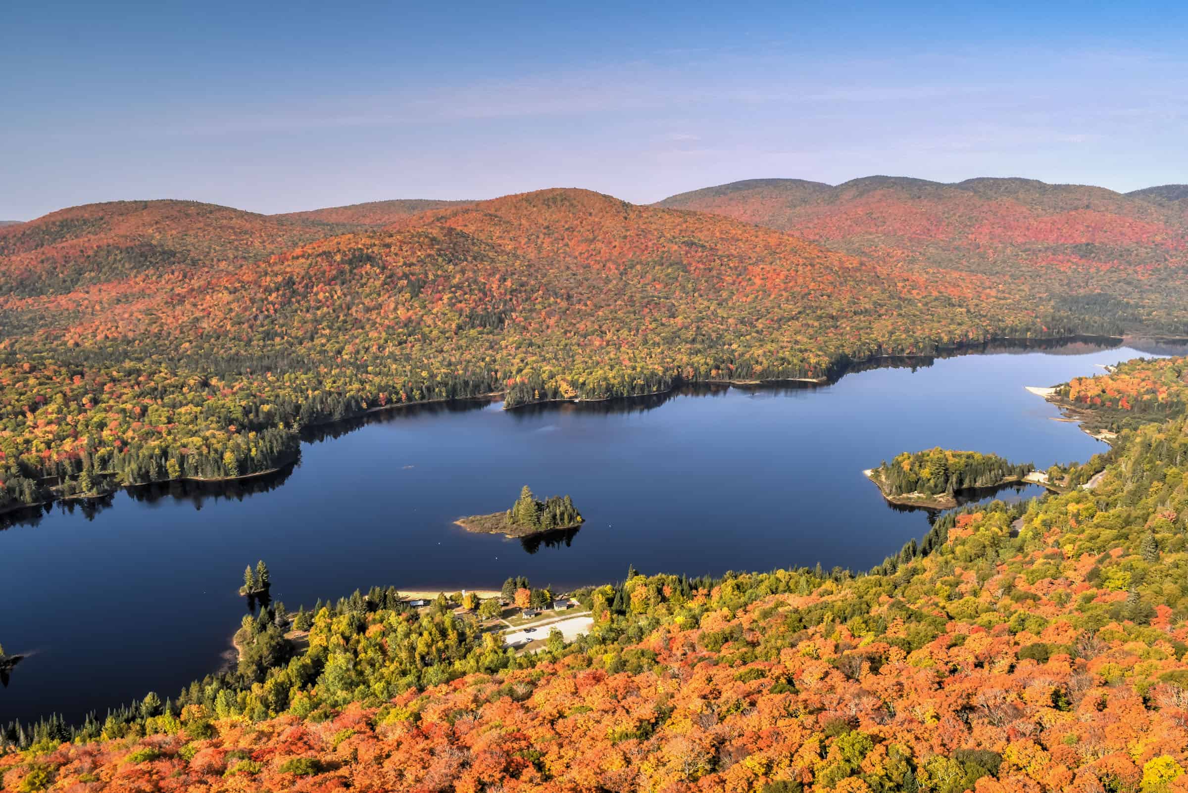
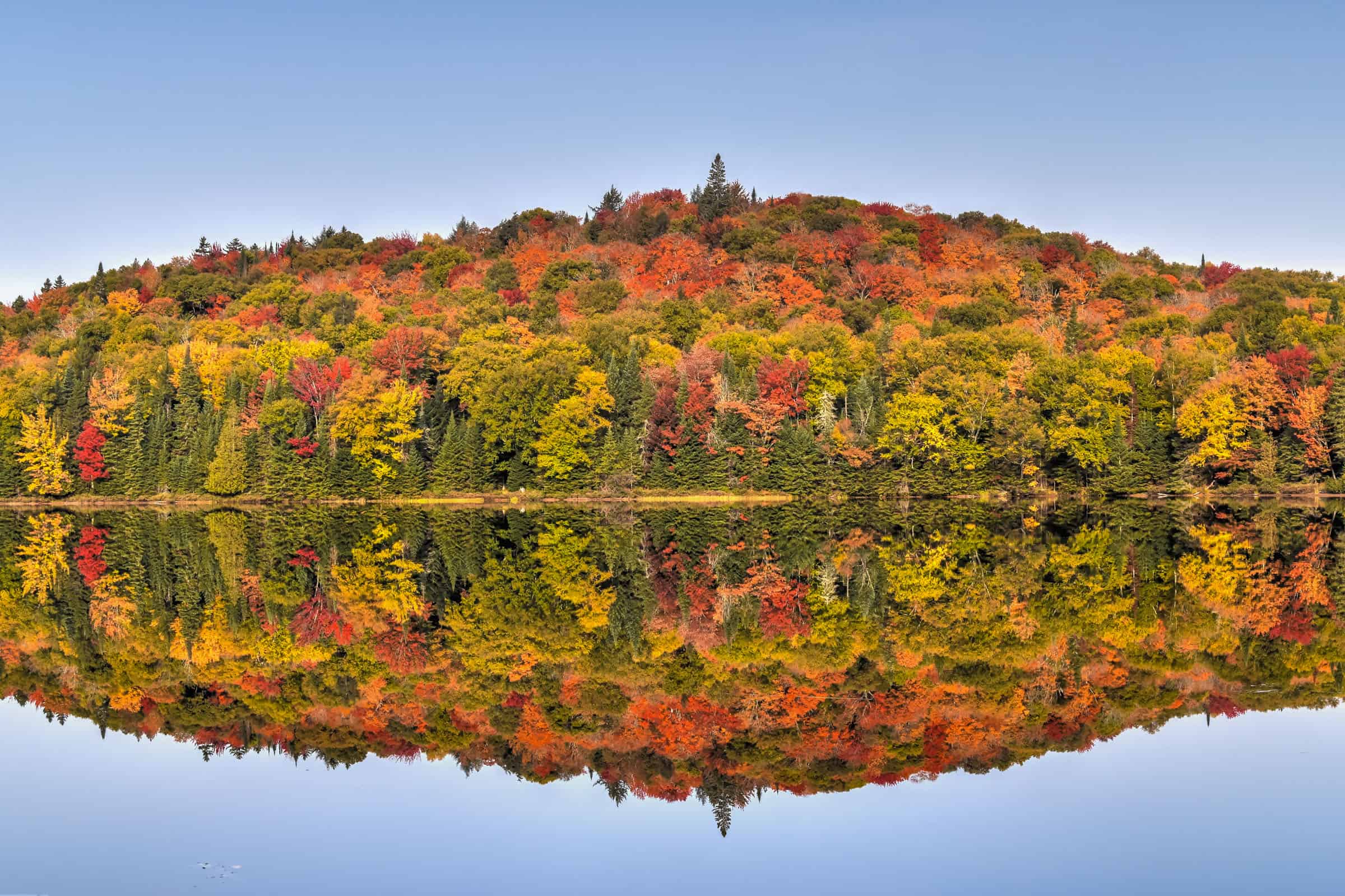
(Parc National du Mont-Orford) – The park is located immediately north of Magog in the Eastern Townships and encompasses several prominent peaks including Mont Orford, Mont Giroux, Mont Aldred Desrocches, Mont Chauve and the Massif des Chênes. It’s one of Quebec’s oldest National parks, created in 1938. If you are looking for some elevation gain with your hikes, then you’ll love several of the trails here. It’s a particularly beautiful area to explore during autumn when the leaves turn bright orange and red.
Note that while Mont-Orford is located within the National Park, the Mont-Orford Ski Resort (along with its skiing and hiking trails) is not part of the park and is administered by a different agency.


Best Summer Activities
– Hiking: 8 trails (80 km total)
– Cycling/walking multipurpose trails: 3 trails (21 km)
– Sea Kayaking, Canoeing, Paddleboarding: Lac Stukely & Lac Fraser
– Cycling: 3 trails (27 km)
– Mountain Biking: 14 trails (30 km)
– Rock Climbing
– Beach/Swimming: there are supervised beaches at two of the park’s lakes (Lac Stukely & Lac Fraser)
Best Winter Activities
– Winter Hiking/Snowshoeing: 15 trails (90+ km)
– Cross-country Skiing: 20+ trails (76 km)
– Fat Bike: 7 trails (18 km)
For more information on this national park and its trails, be sure to check out our guide on Mont-Orford National Park.
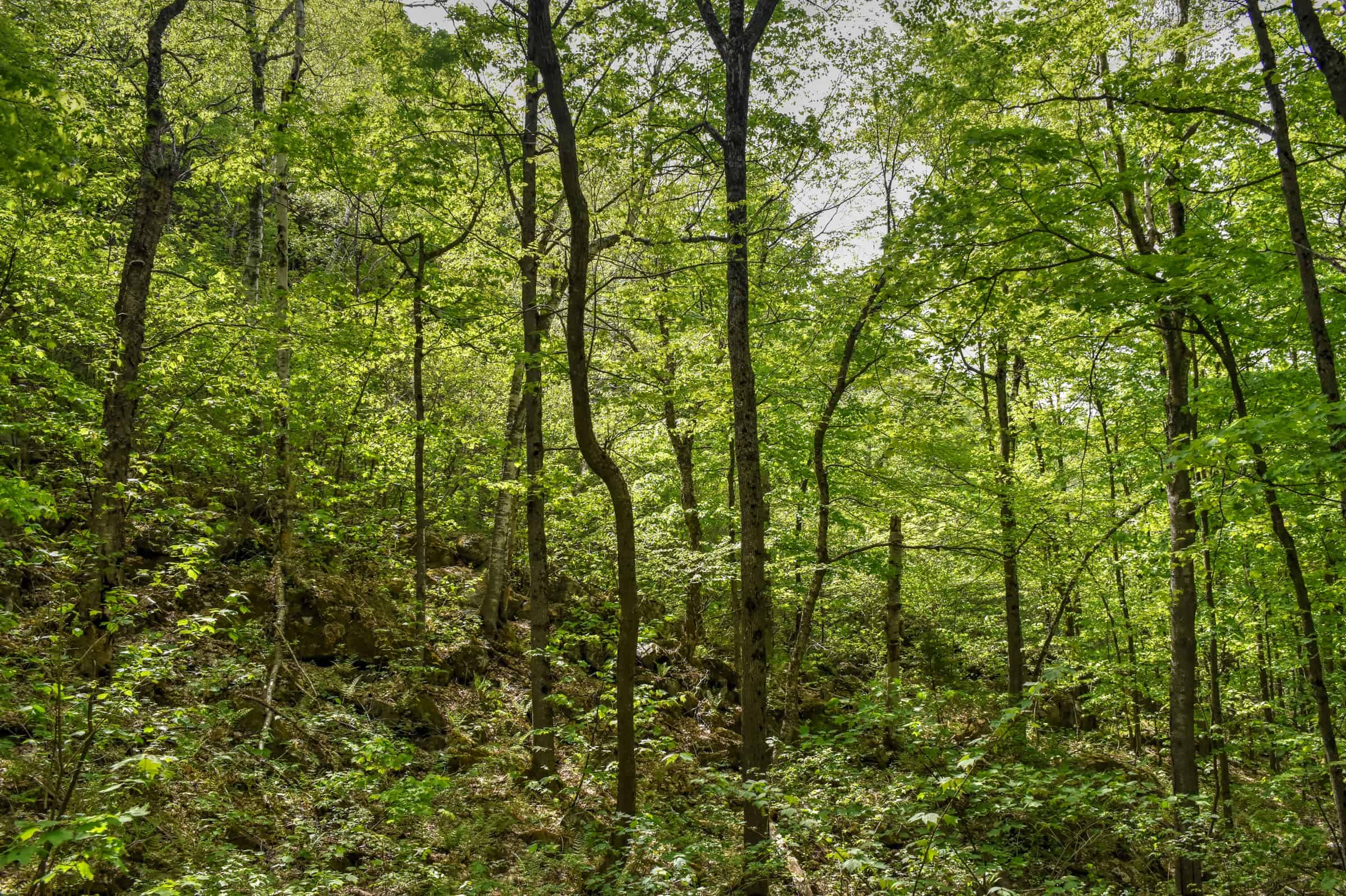
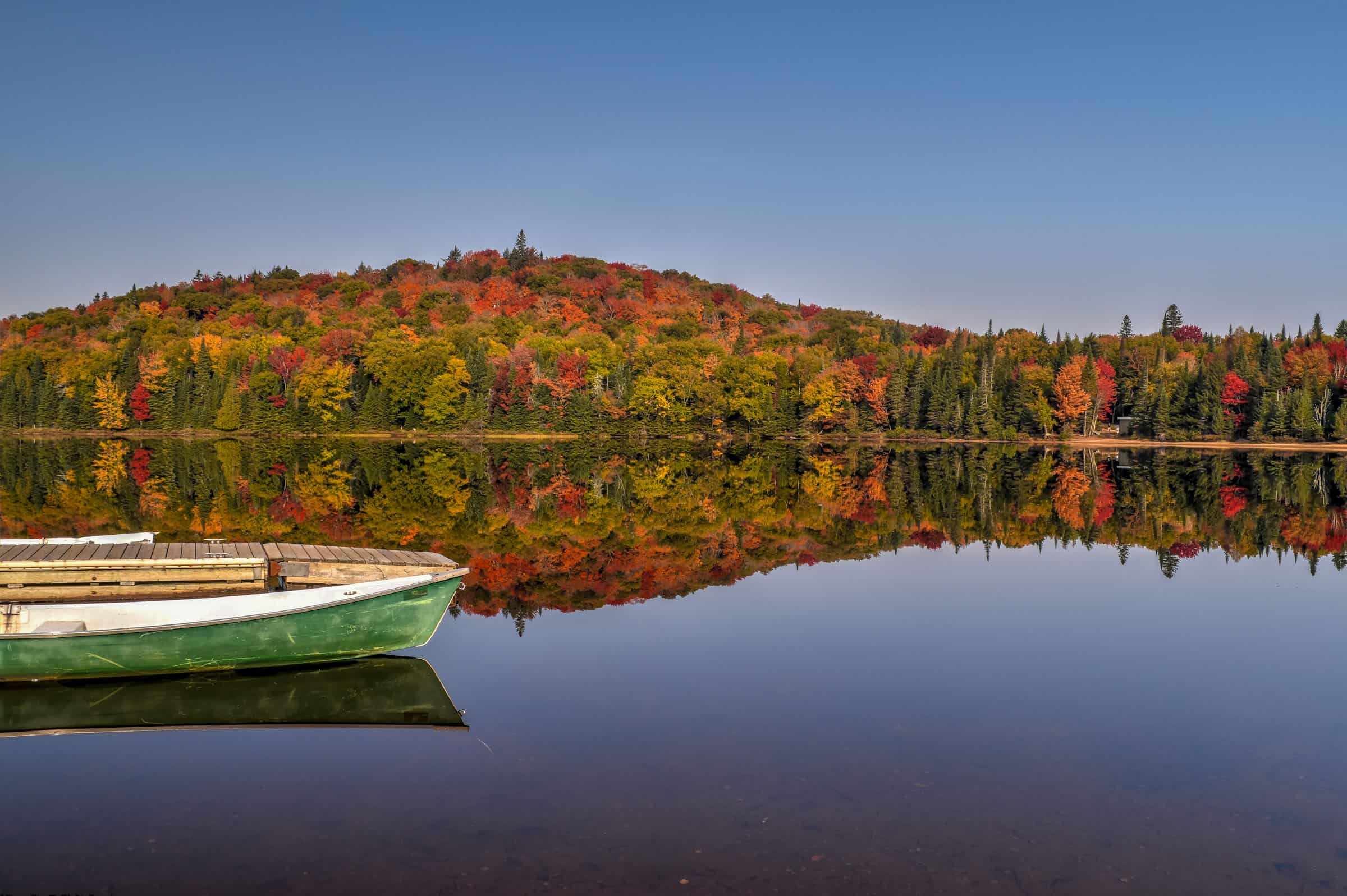
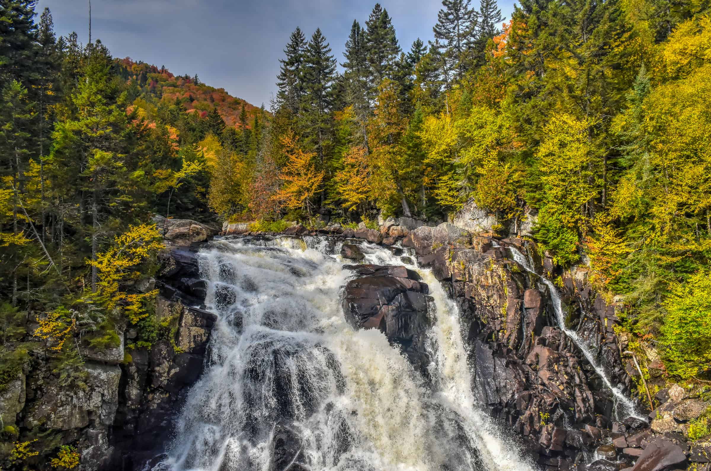
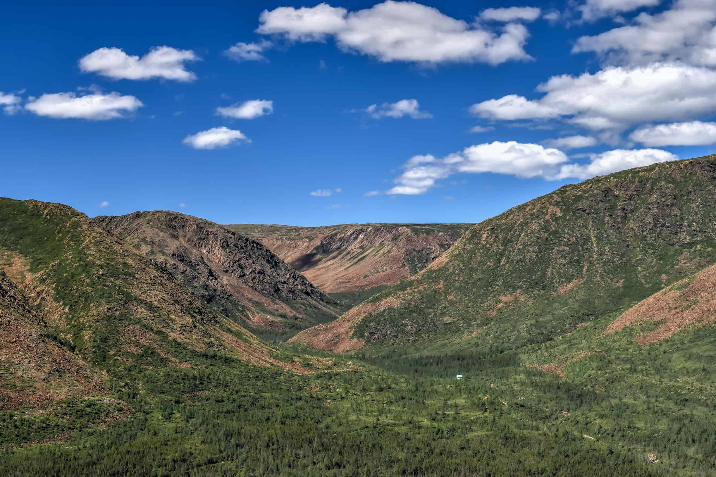
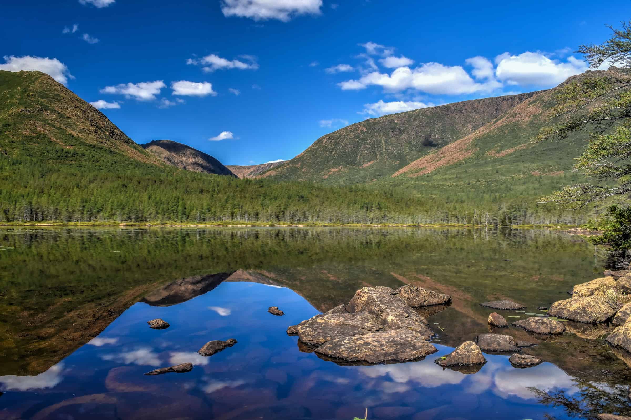
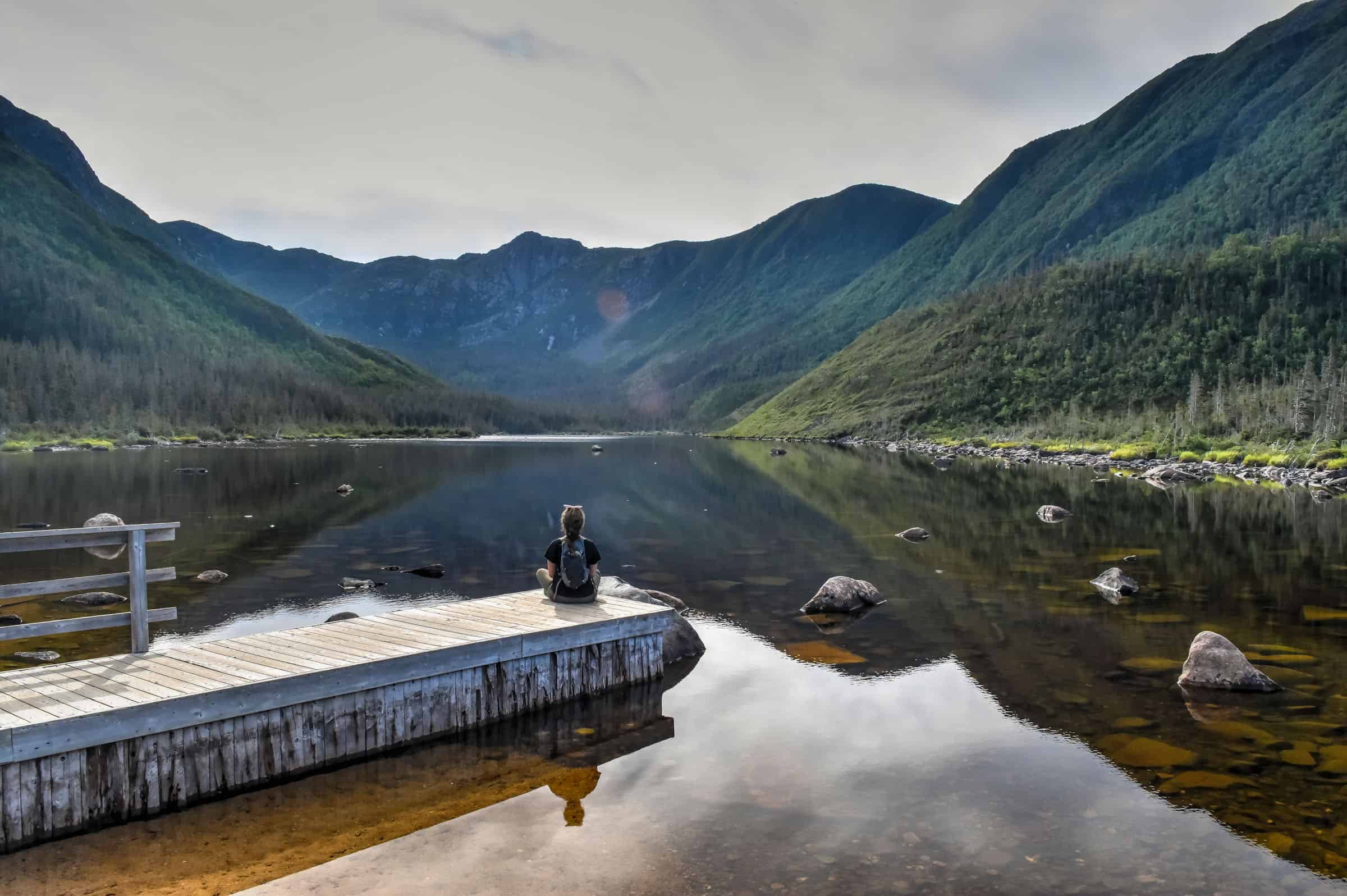
Mont Tremblant National Park
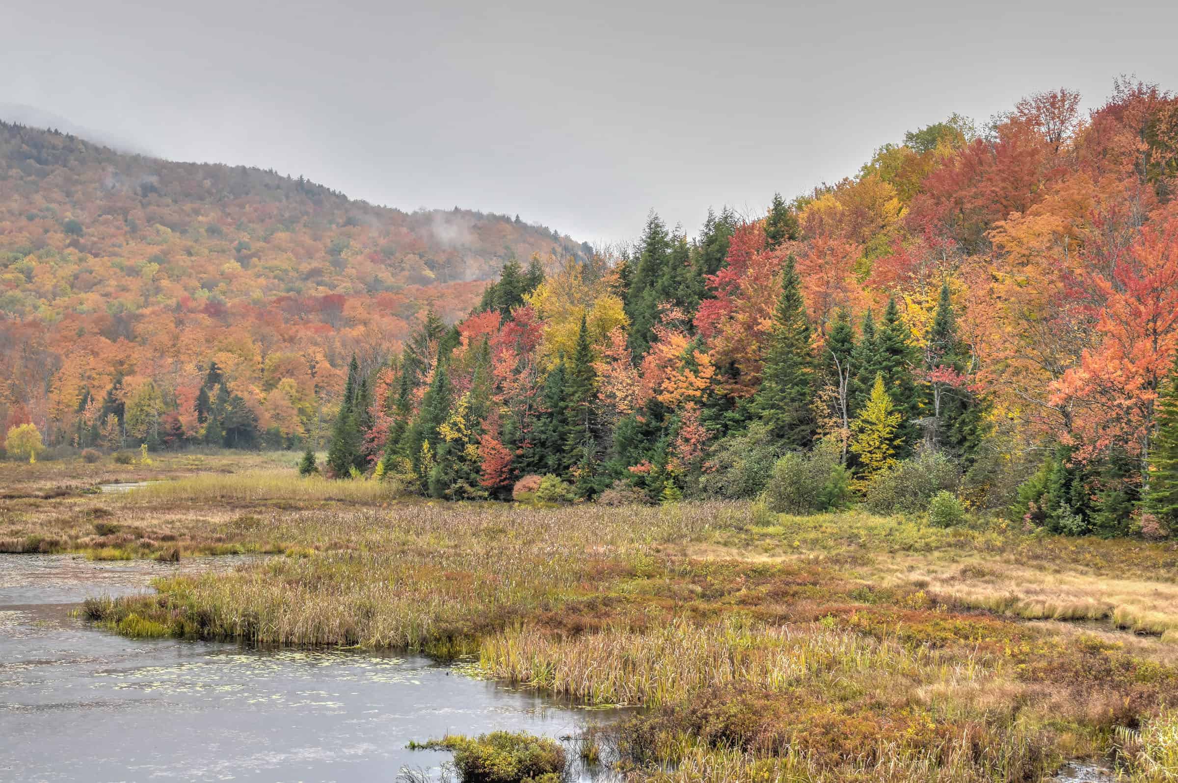
(Parc National du Mont Tremblant) – Taking its name from the nearby Mont Tremblant, this park is Quebec’s oldest national park (created in 1895, and is Canada’s third oldest protected park) and the fourth-largest park in the province. The park is home to six large rivers, over 400 lakes, and is home to over 40 mammal species. It was also recently certified as a Dark Sky Park in 2023. Of all the parks listed on this page, it is the one with the largest selection of hiking trails, with over 20 of them spread over three different park sectors (Le Diable sector, Pimbina-Saint-Donat sector, and L’Assomption sector).


Best Summer Activities
– Hiking: 23 trails (170+ km total) (all three sectors)
– Cycling/walking multipurpose trails: 3 trails (21 km)
– Sea Kayaking, Canoeing, Paddleboarding: (several spots throughout the park)
– Day Fishing
– Via Ferrata
– Cycling: 8 trails (124 km)
– Beach/Swimming: (unsupervised, in several spots)
Best Winter Activities
– Winter Hiking/Snowshoeing: 14 trails (105 km) (Diable & Pimbina sectors)
– Cross-country Skiing: 7 Trails (55 km) (Diable Sector)
– Fat Bike: 1 trail (10 km)
For more information on this national park and its trails, be sure to check out one of our two guides covering Mont-Tremblant National Park trails: La Corniche, Coulée, and Roche trails guide, and the Chutes Croches, Chute du Diable, and Centenaire trails guide.
National Parks Within 3 hours of Montreal
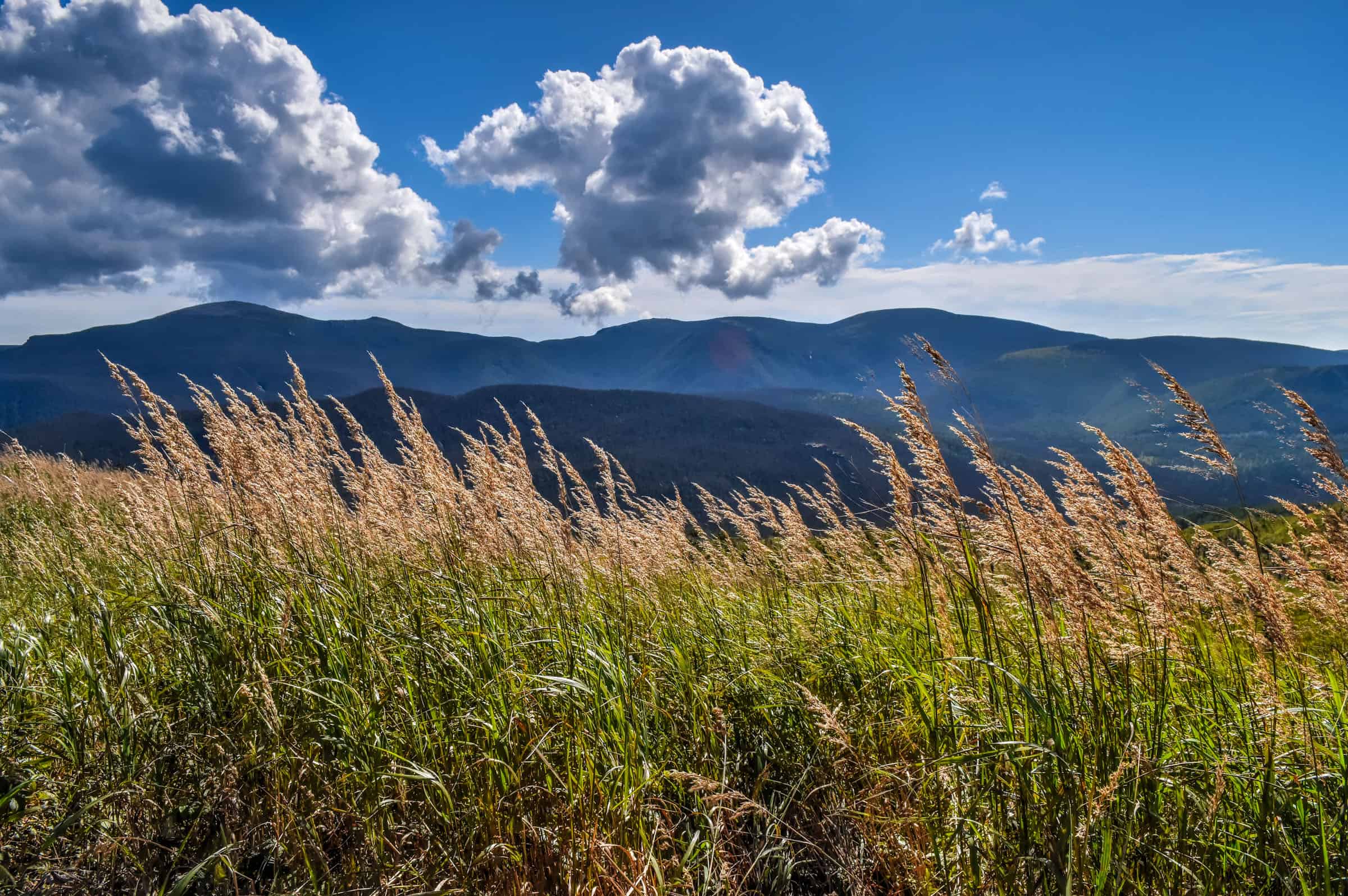
Mont-Mégantic National Park
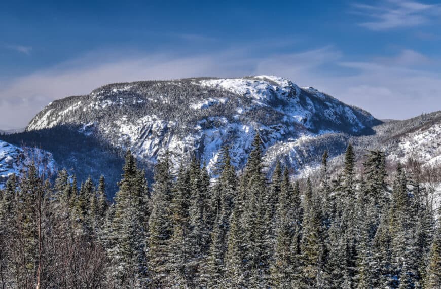
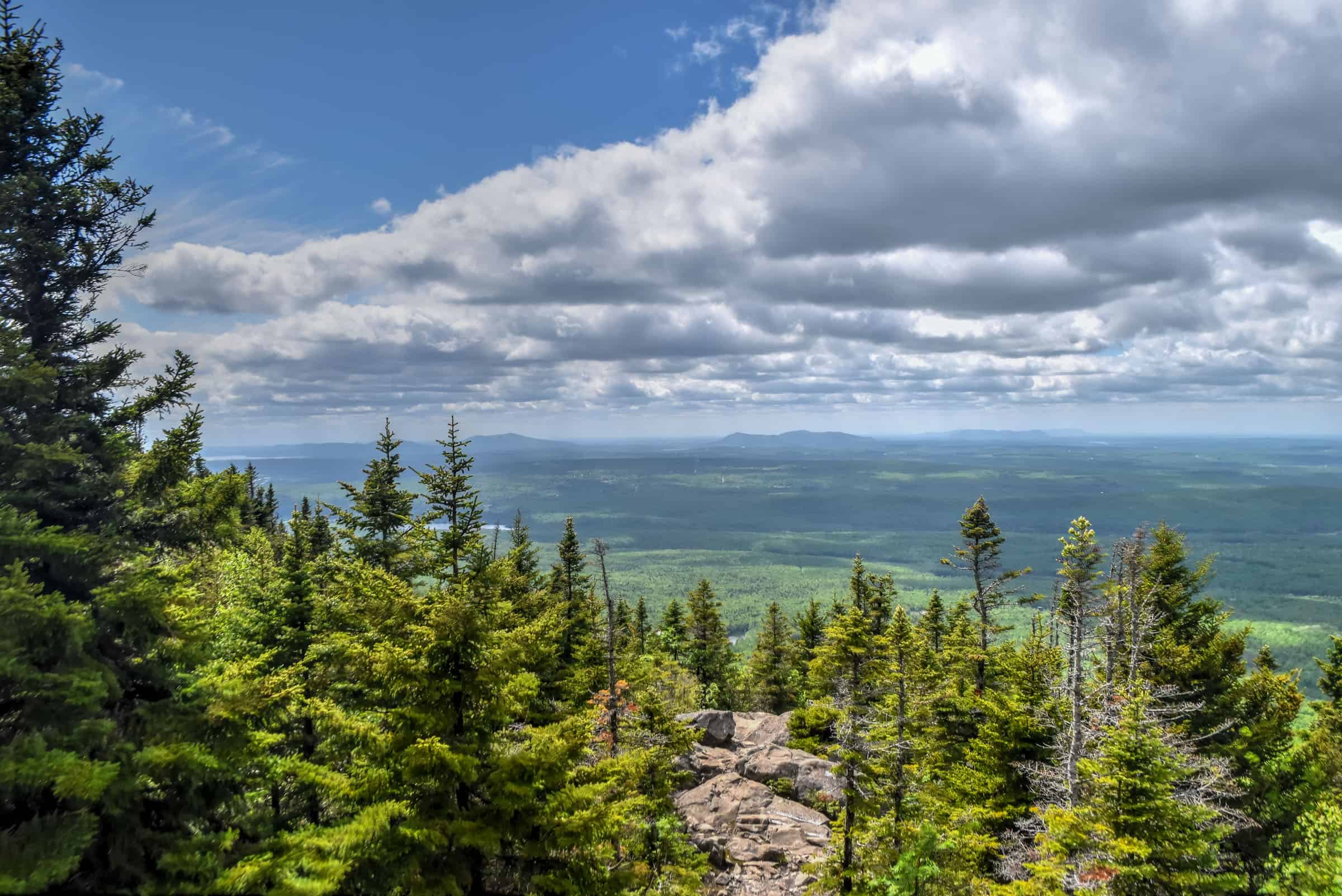
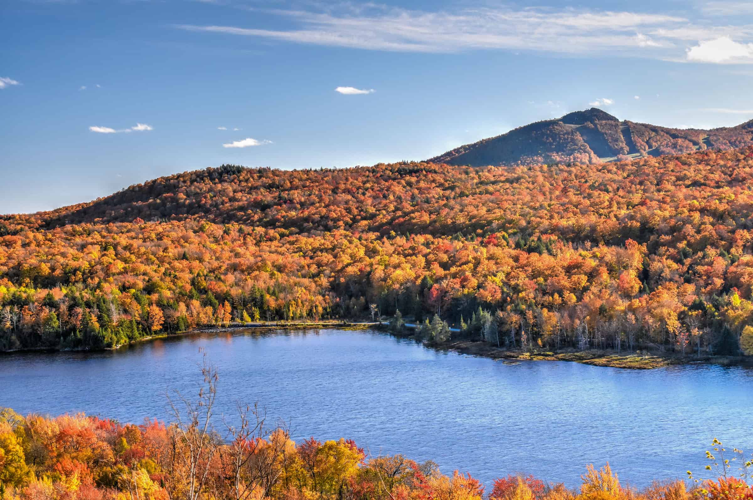
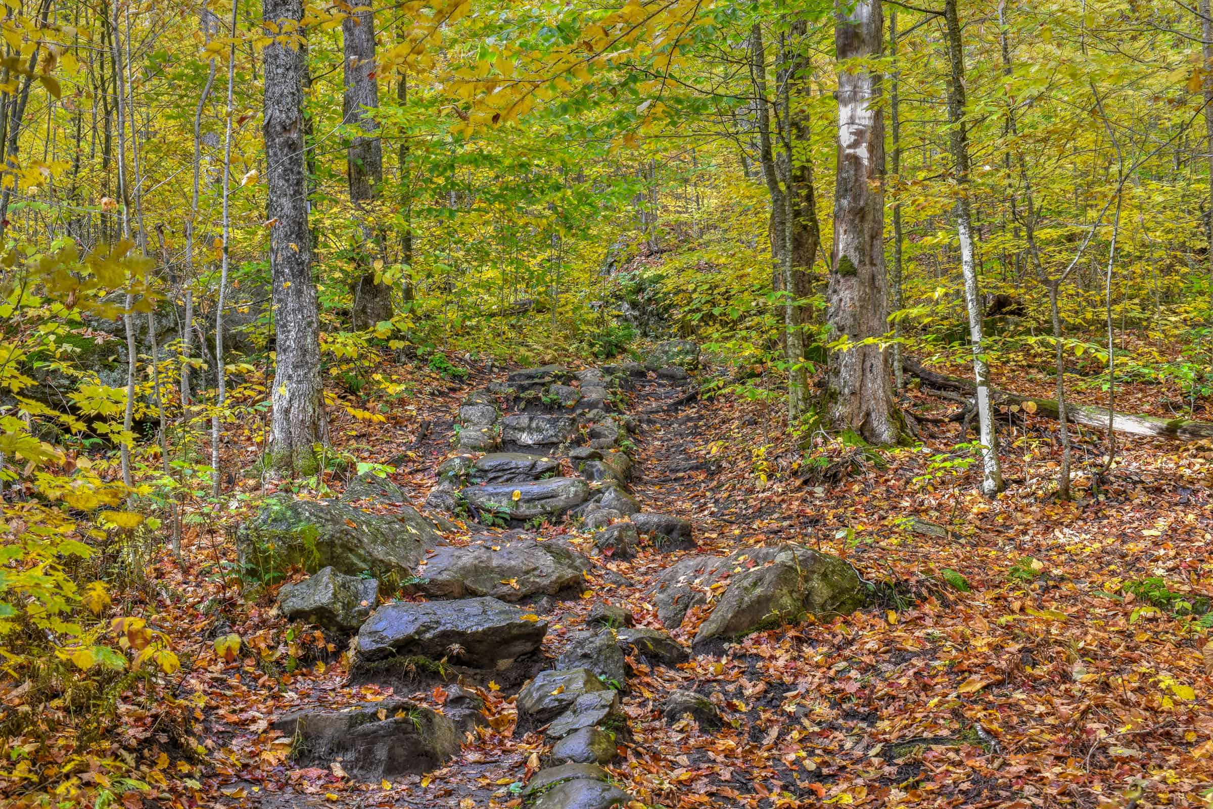
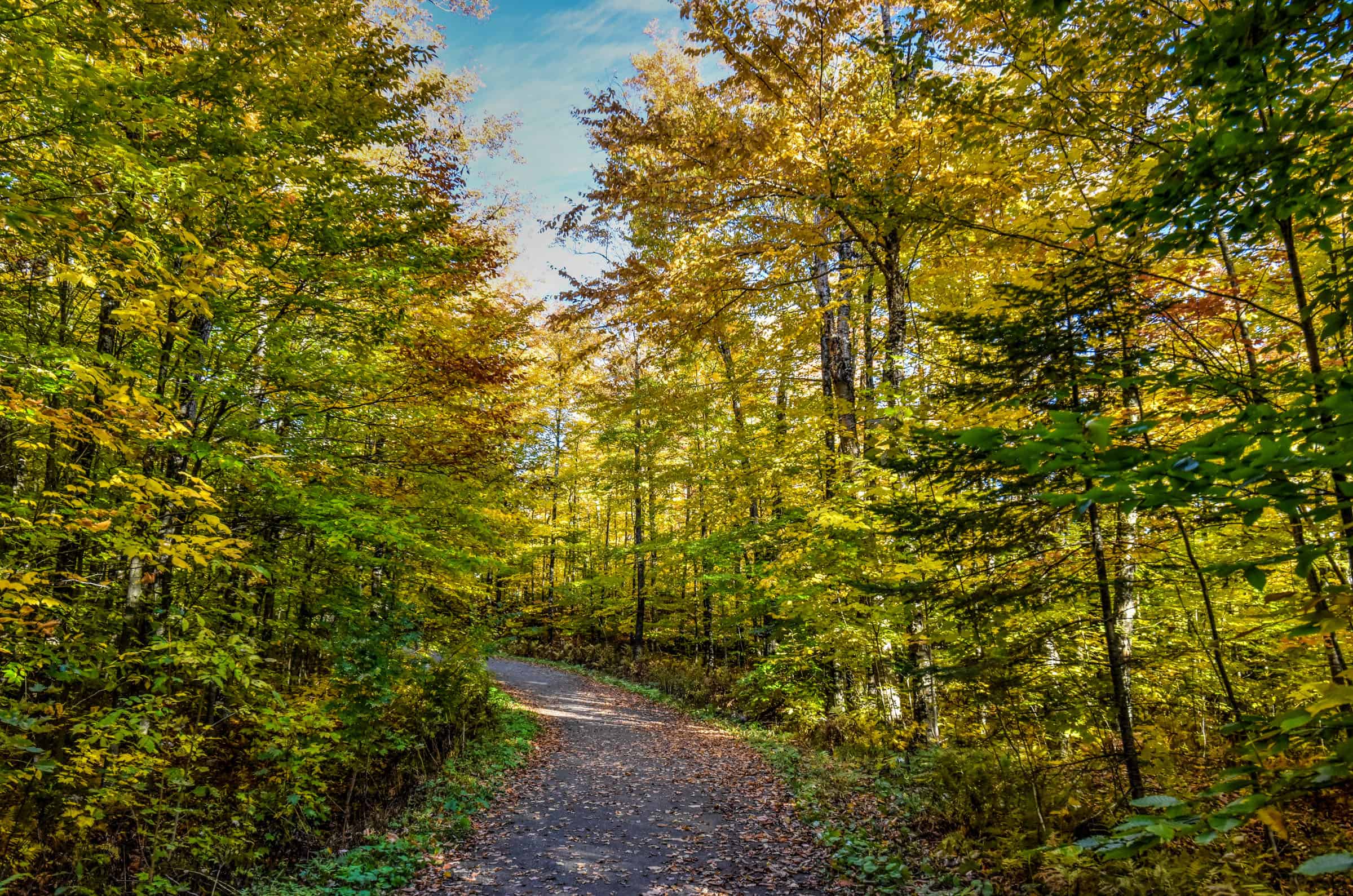
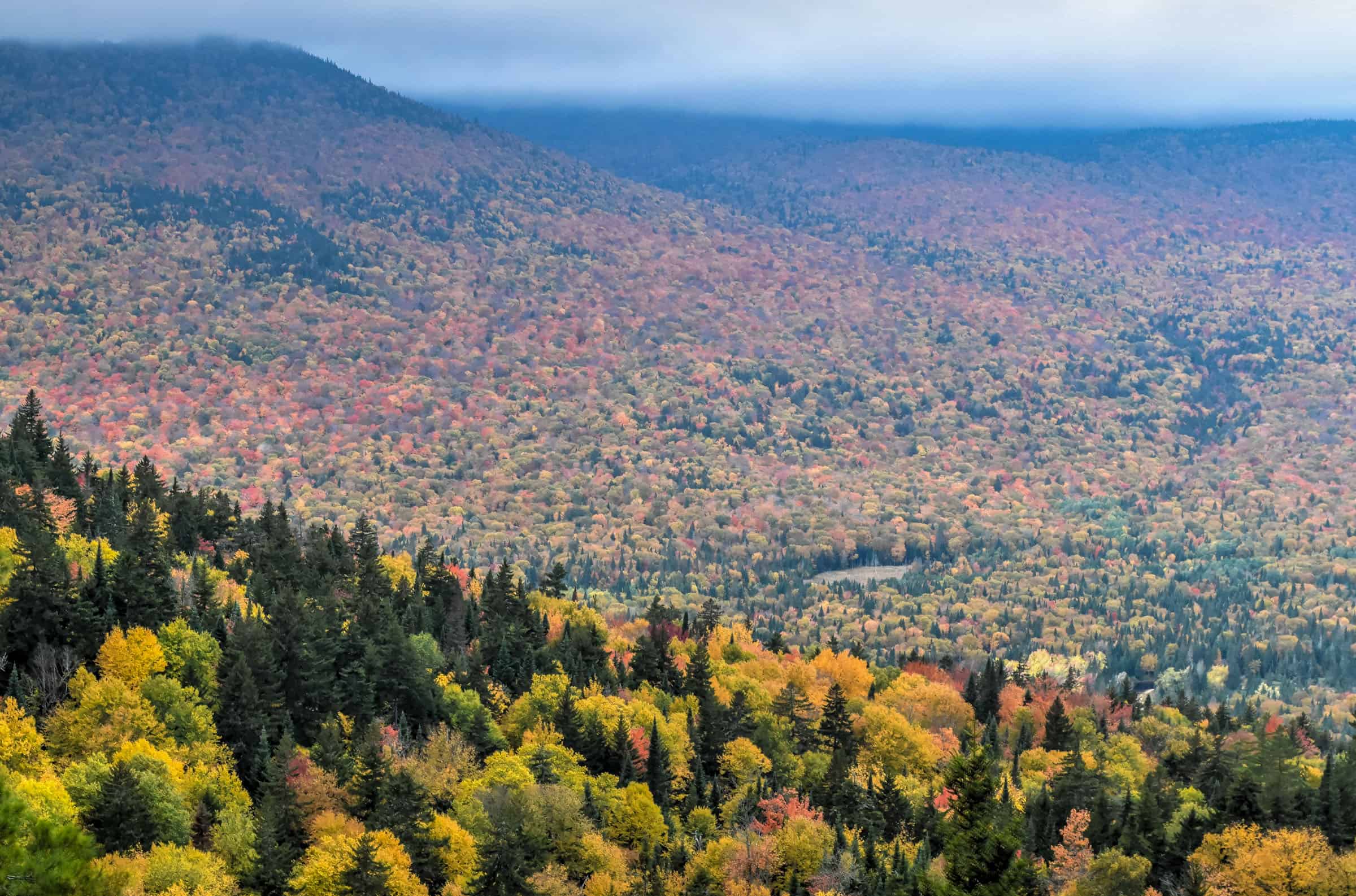
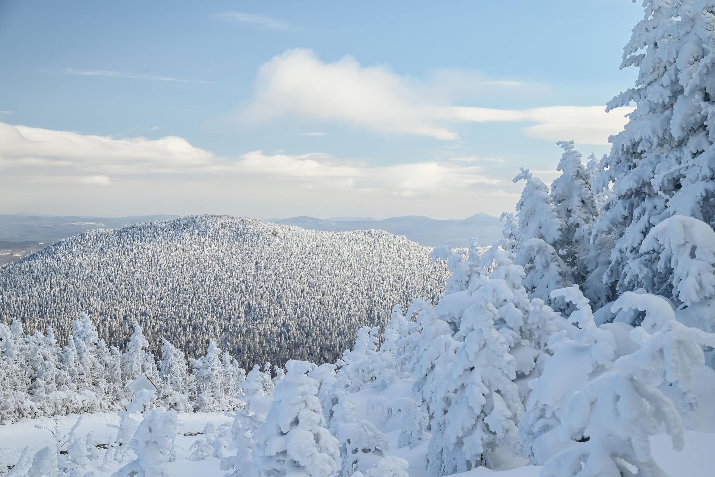
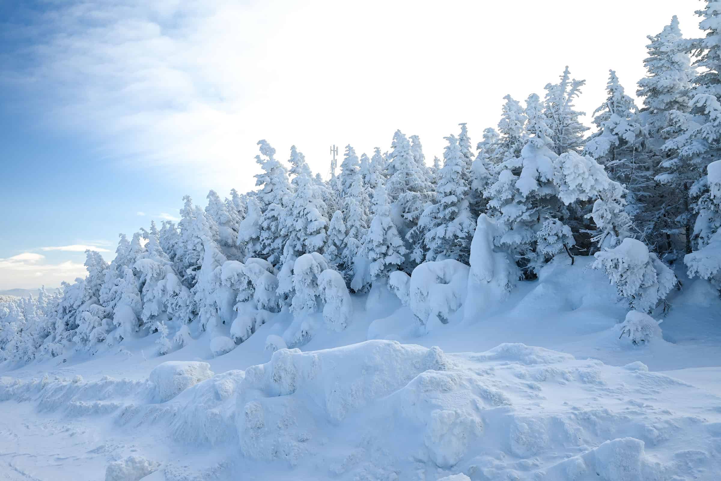
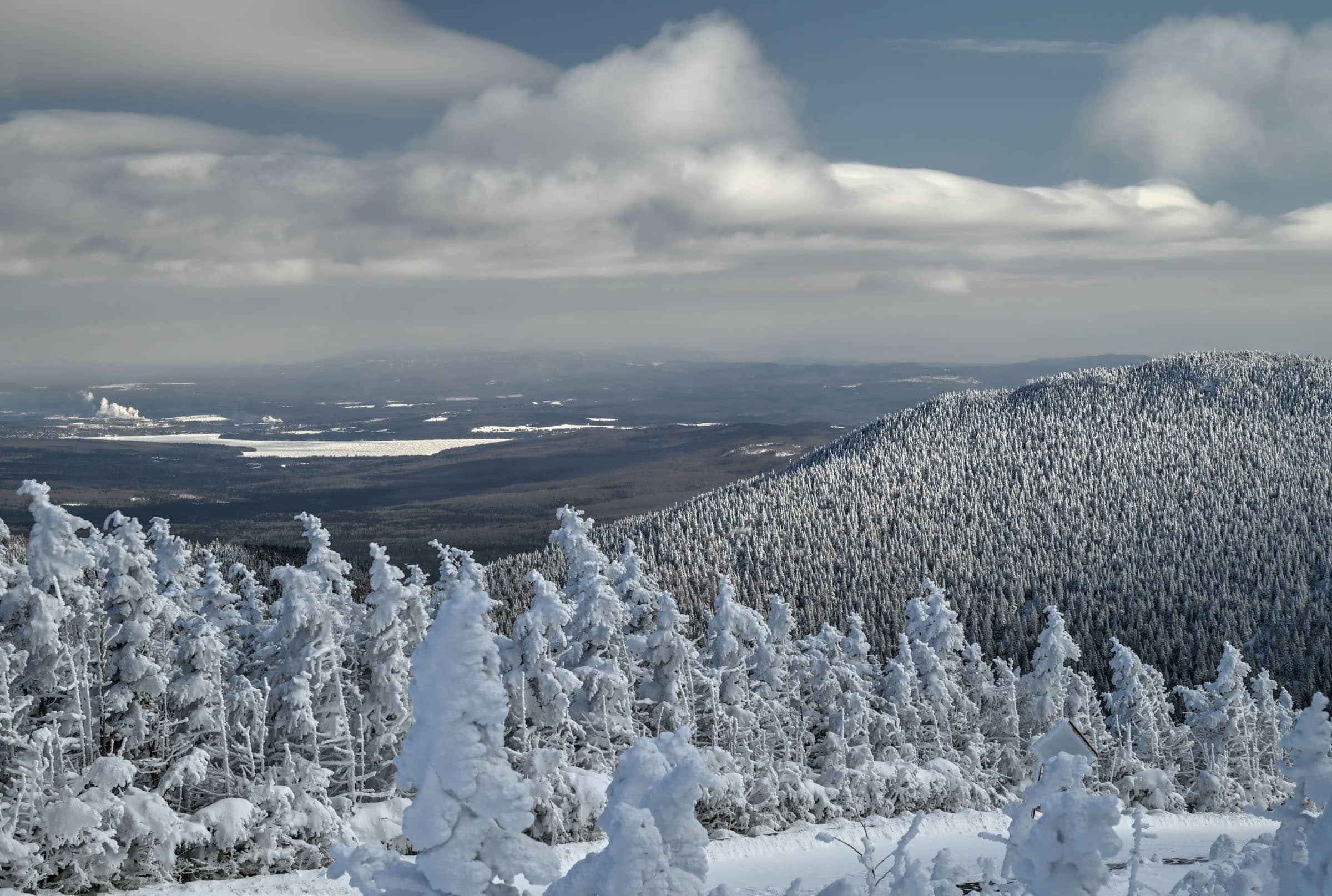
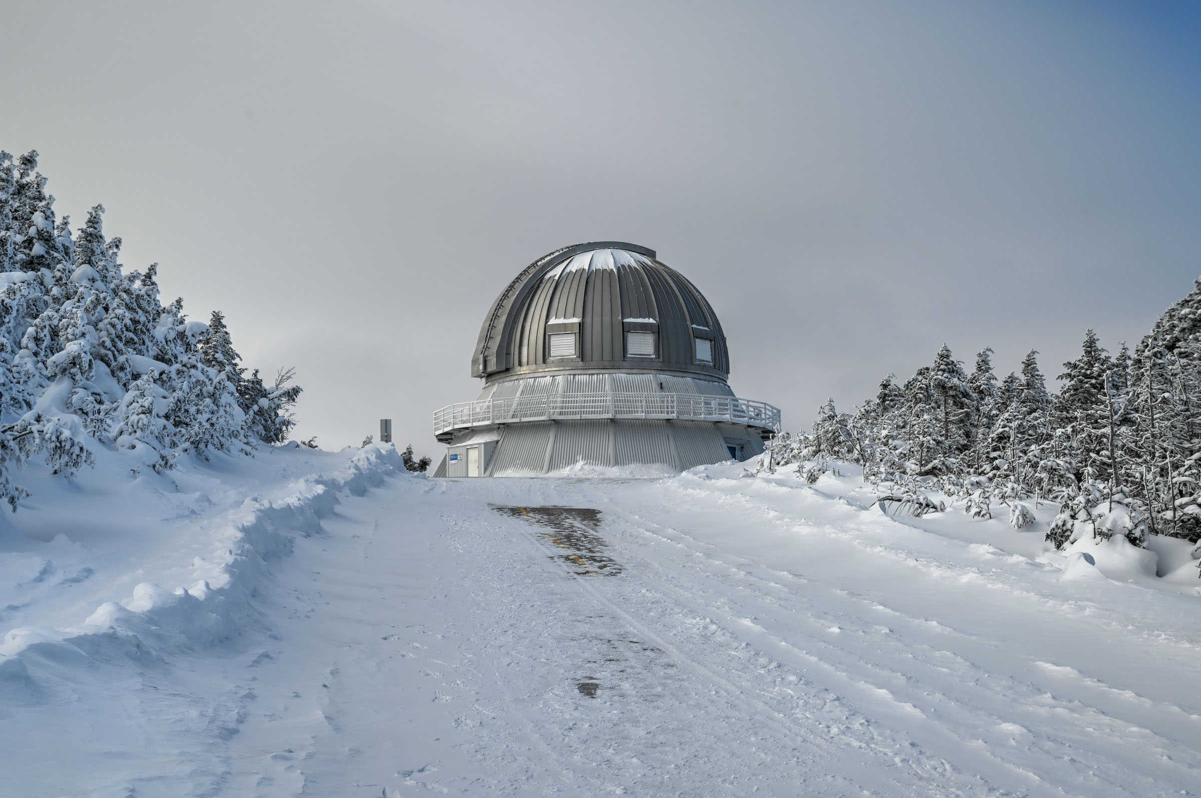
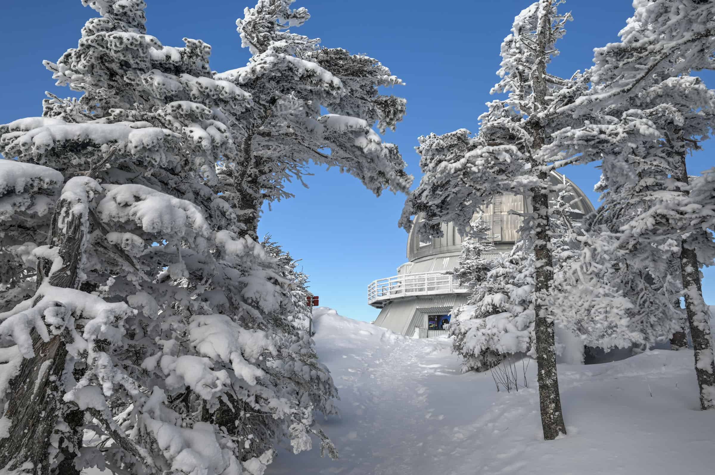
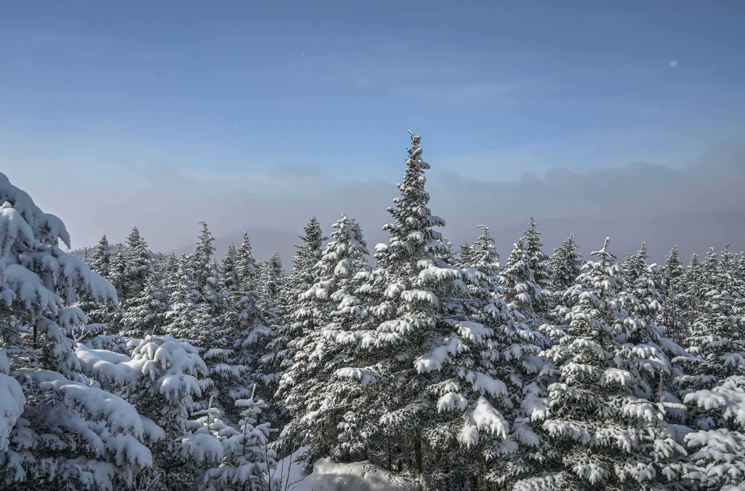
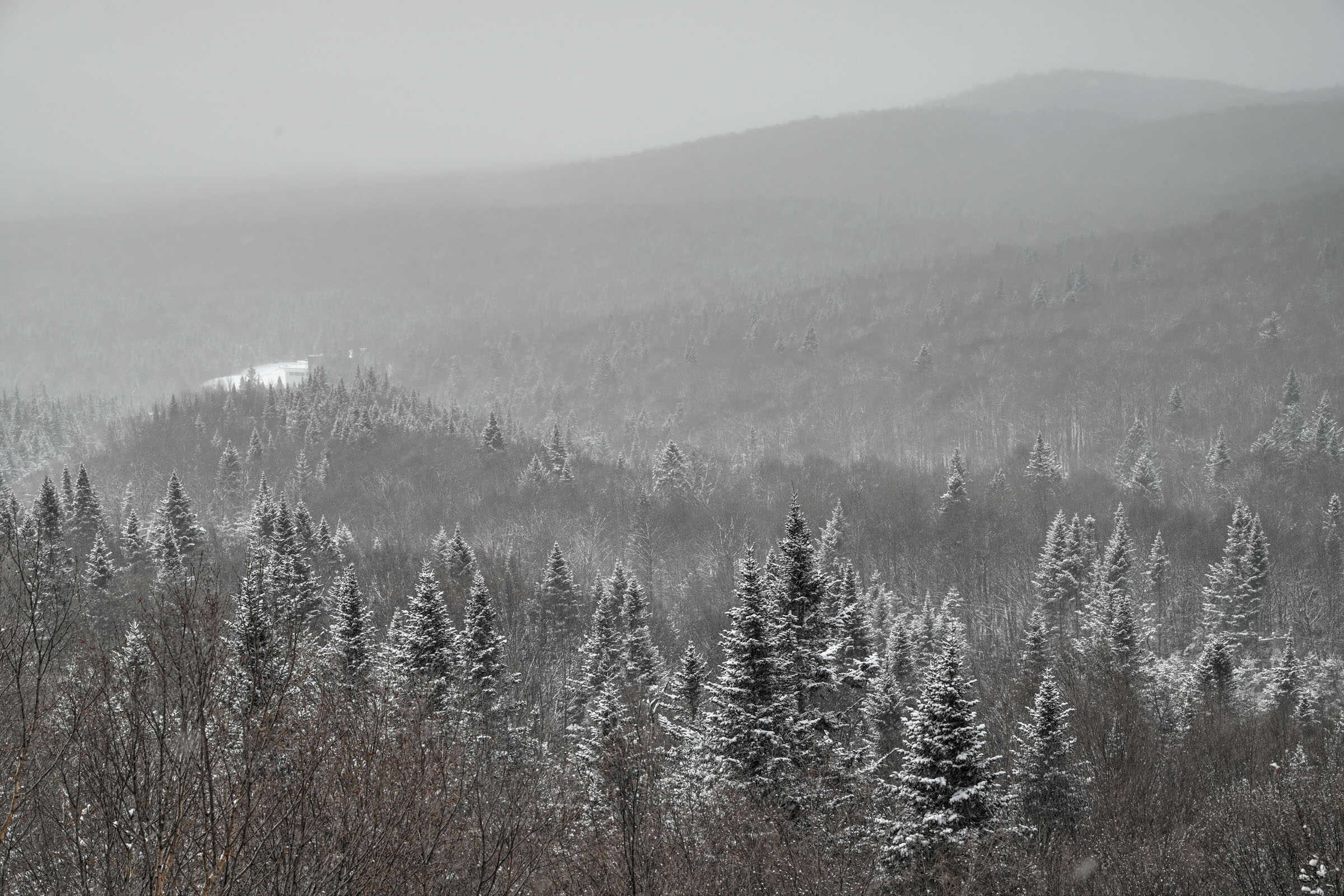
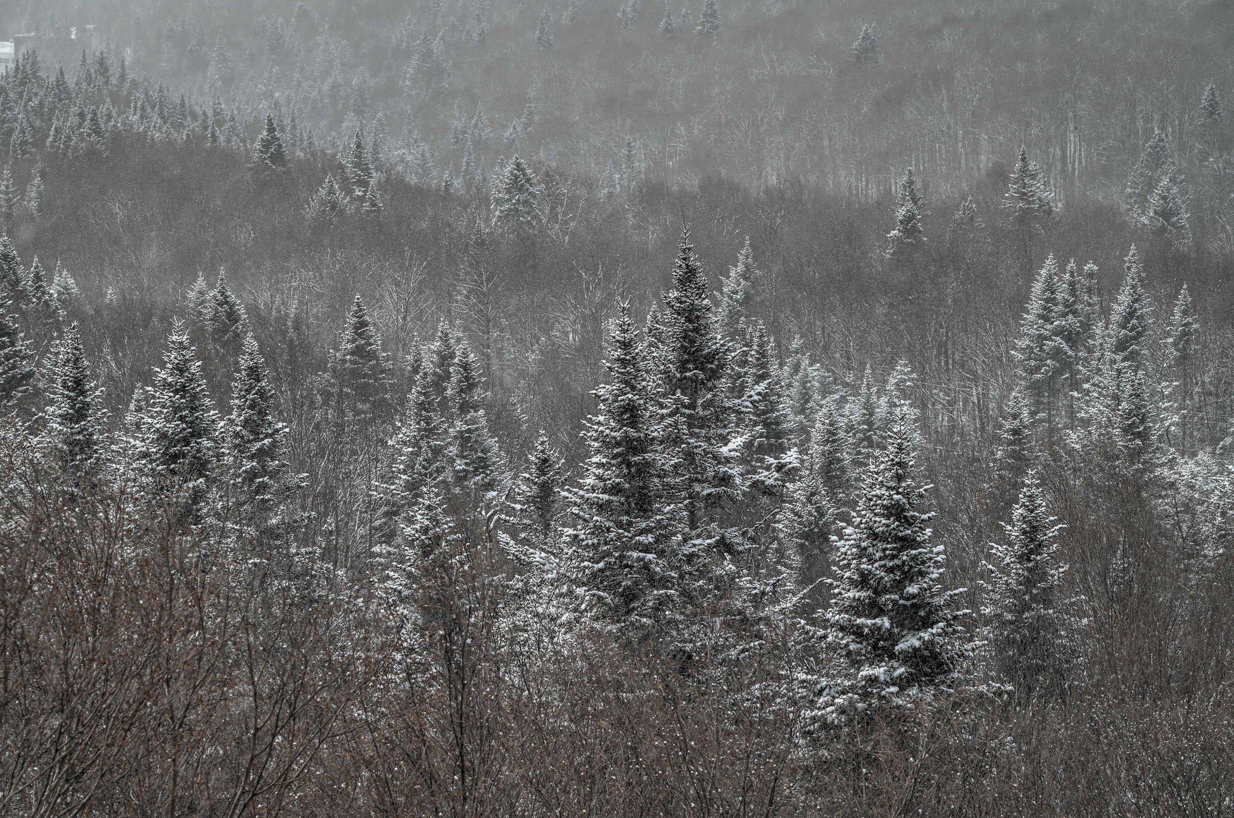
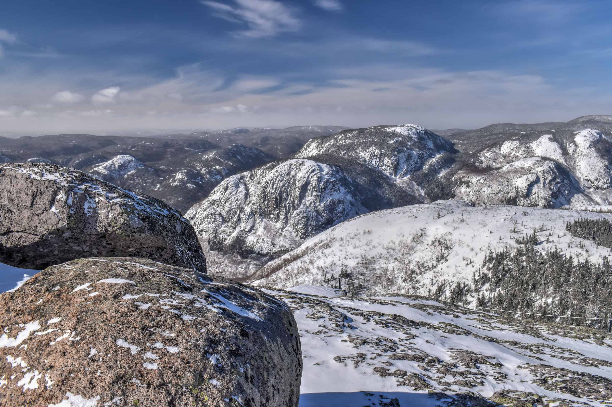
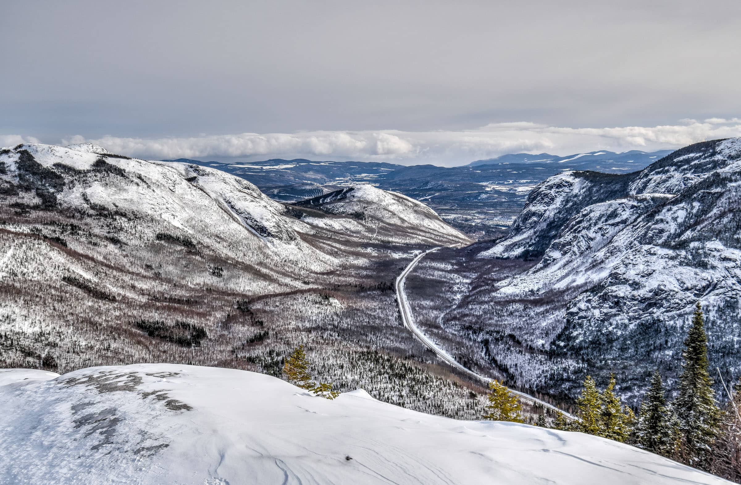
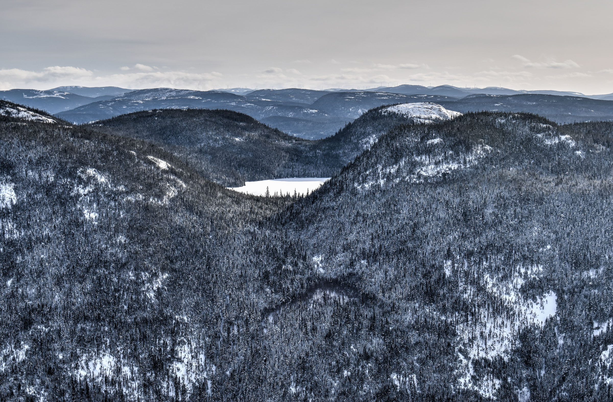
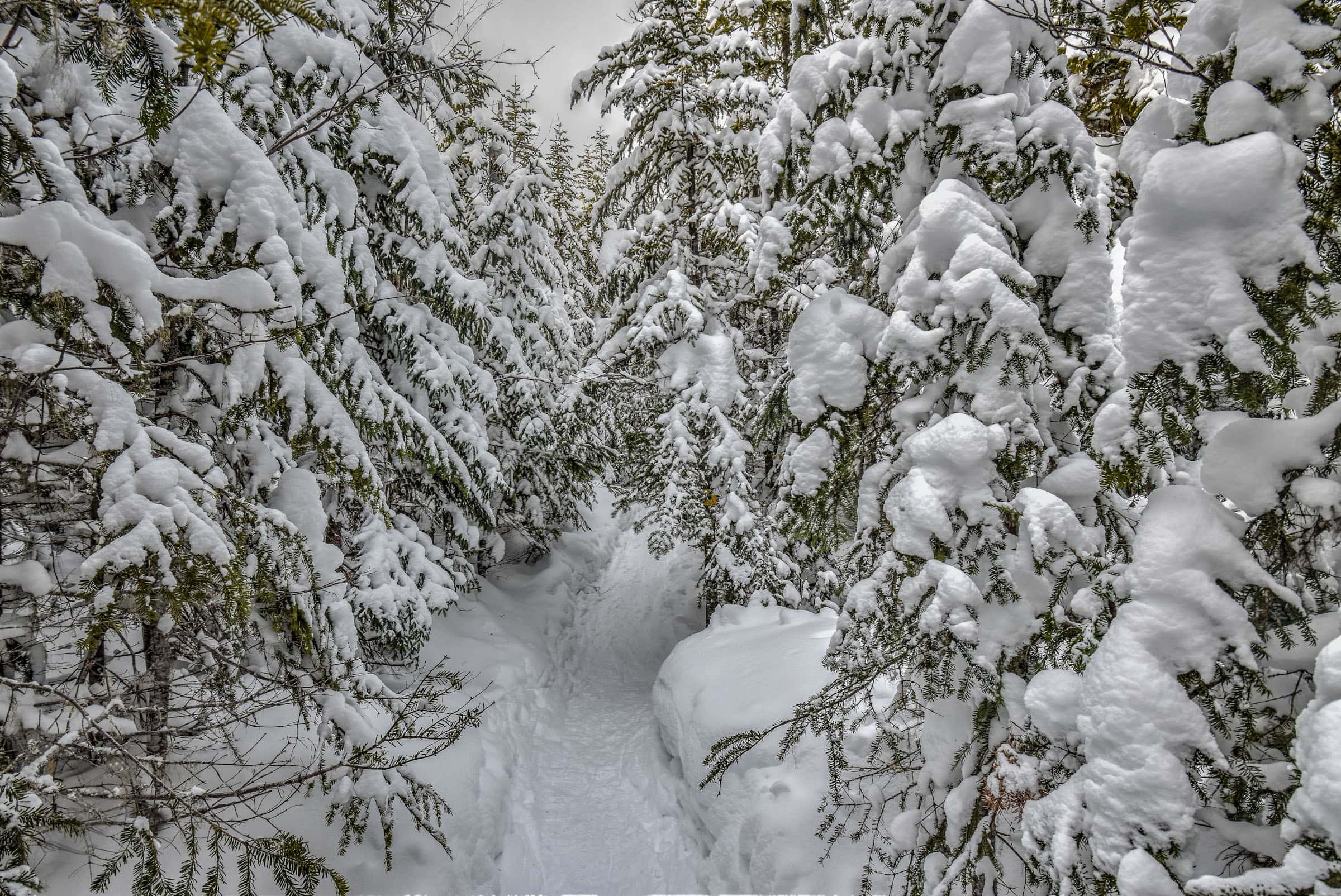
(Parc National du Mont-Mégantic) – The park is one of the more remote National Parks in Québec, located near the southeastern corner of the province very close to the northwestern border of Maine (USA). The park is also part of what became the first international dark sky reserve in 2007 International Dark-Sky Association, making it the perfect place to do some star gazing after a great day of hiking. Several peaks are accessible by hiking trails, including Mont-Mégantic, which is Quebec’s tenth-highest peak, on which is located the Mont-Mégantic Observatory which houses the largest telescope in eastern North America, and the fourth largest in Canada.
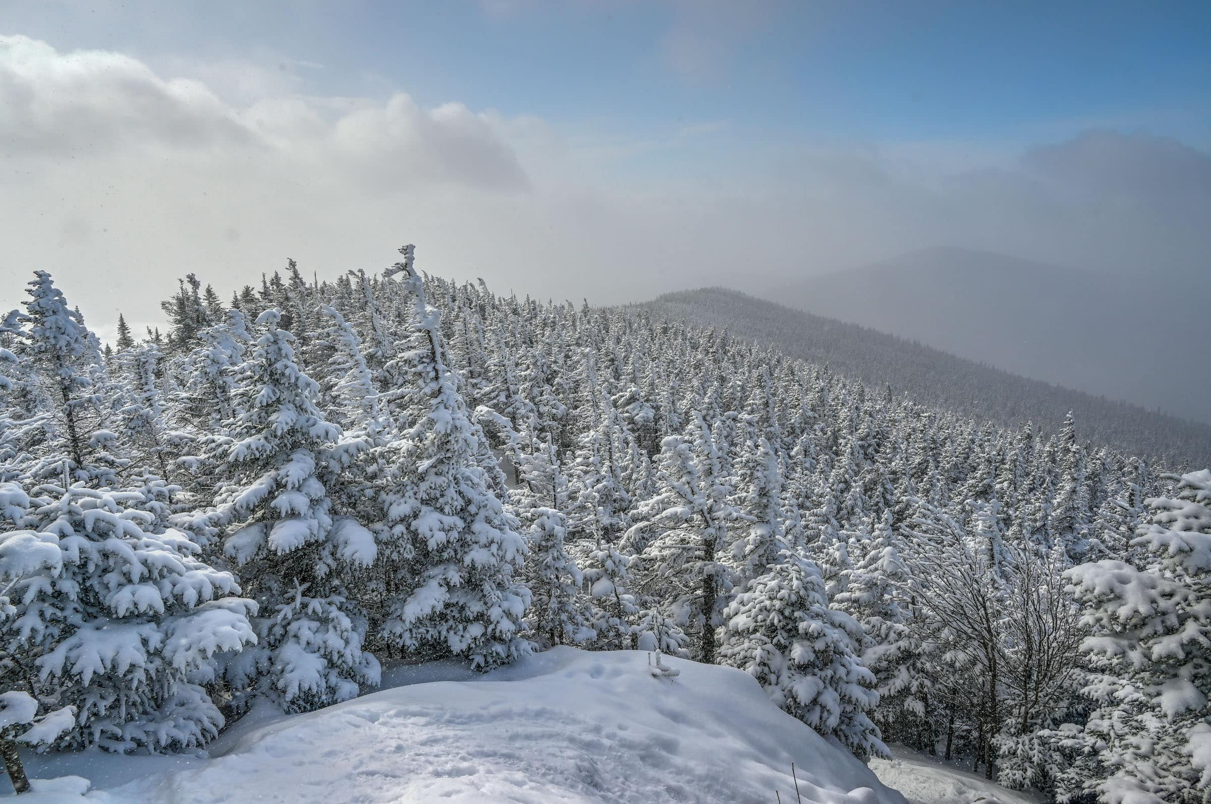
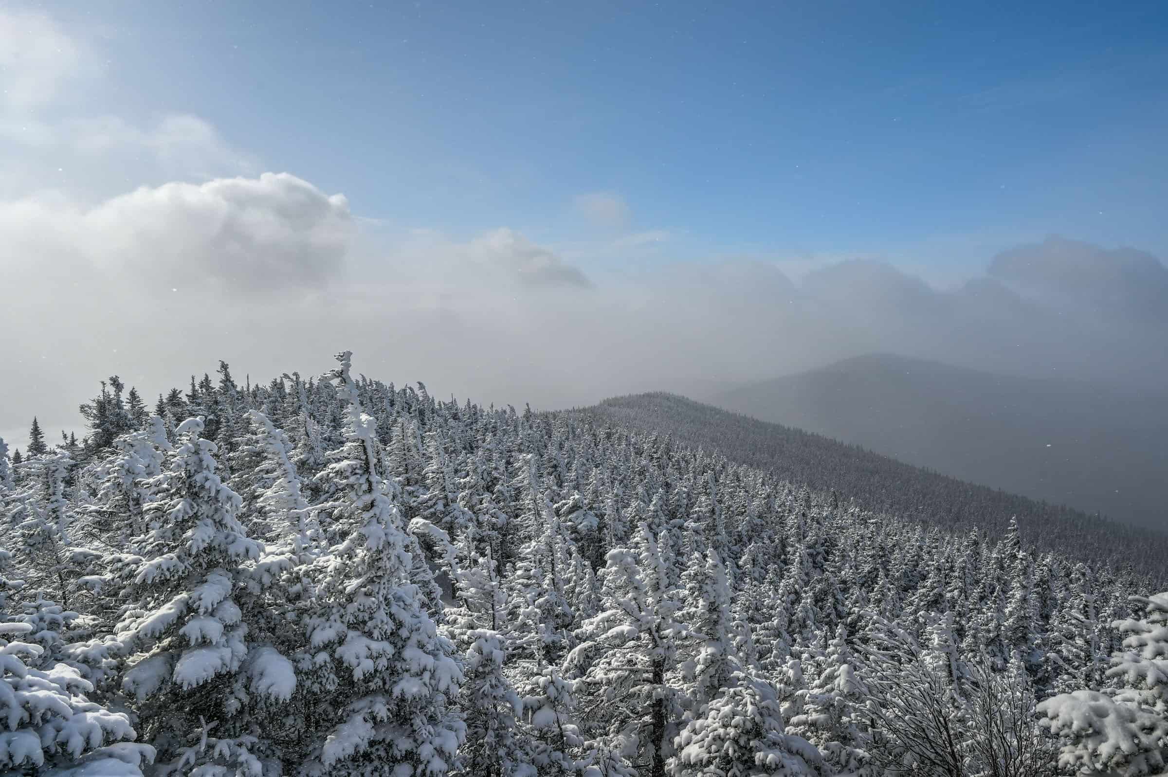
The park is one of our favorites to visit in winter, just look at this magical winter wonderland scenery:


Best Summer Activities
– Hiking: 15 trails (135 km total)
– Cycling: 1 trails (8 km)
Best Winter Activities
– Winter Hiking/Snowshoeing: 15 trails (115 km)
– Cross-country Skiing: 4 trails (43 km)
For more information on this national park and its trails, be sure to check out our Mont-Mégantic National Park guide.
Best National Parks For …
Best National Parks for Easy Walks
The best national parks for easy walks are the first four presented above: Îles-de-Boucherville, Mont-Saint-Bruno, Oka, and Yamaska. But because most of the trails at Îles-de-Boucherville National Park are shared with cyclists and Yamaska National Park has fewer trails, our picks would be Mont-Saint-Bruno National Park and Oka National Park.


Best National Parks for Leisurely Cycling in Nature
Our votes come down to the two leftovers from the previous category, Îles-de-Boucherville National Park and Yamaska National Park, in addition to Mont-Tremblant National Park. Oka National Park has its fair share of bike trails too, but many of them are asphalt bike paths along the roadside, making them less interesting in our opinion.


Best National Park for Rewarding Hiking Vistas
If you like hiking mountains to reach rewarding viewpoints, the best parks for achieving this are Mont-Orford National Park, Mont-Tremblant National Park and Mont-Mégantic National Park. Most of the trails with panoramic viewpoints in Mont-Orford and Mont-Mégantic are quite challenging, whereas those in Mont-Tremblant have more of a mix of difficulty levels.


Best National Park for Water Activities
For summer beach vibes, the best place to go is Oka National Park with its long and narrow beach. For kayaking or paddleboarding, it really depends on what you are looking for. If you want to be in smaller but scenic lakes, Mont-Tremblant and Mont-Orford are great options. If you want to be in the largest body of water, Oka and Yamaska National Parks are the places to go. If you want to follow nautical routes around islands, then head to Îles-de-Boucherville National Park.
Best National Park for Winter Activities
It really depends on what you are looking for. All parks are great for cross-country skiing aside from Yamaska and Îles-de-Boucherville National Parks, and all of them have a good selection of snowshoeing trails, aside from perhaps Mont-Saint-Bruno National Park which has fewer of them. For winter rides on a fat bike, Oka and Mont-Orford National Parks would be our choices with lots of trail options.
Best National Park for Waterfalls
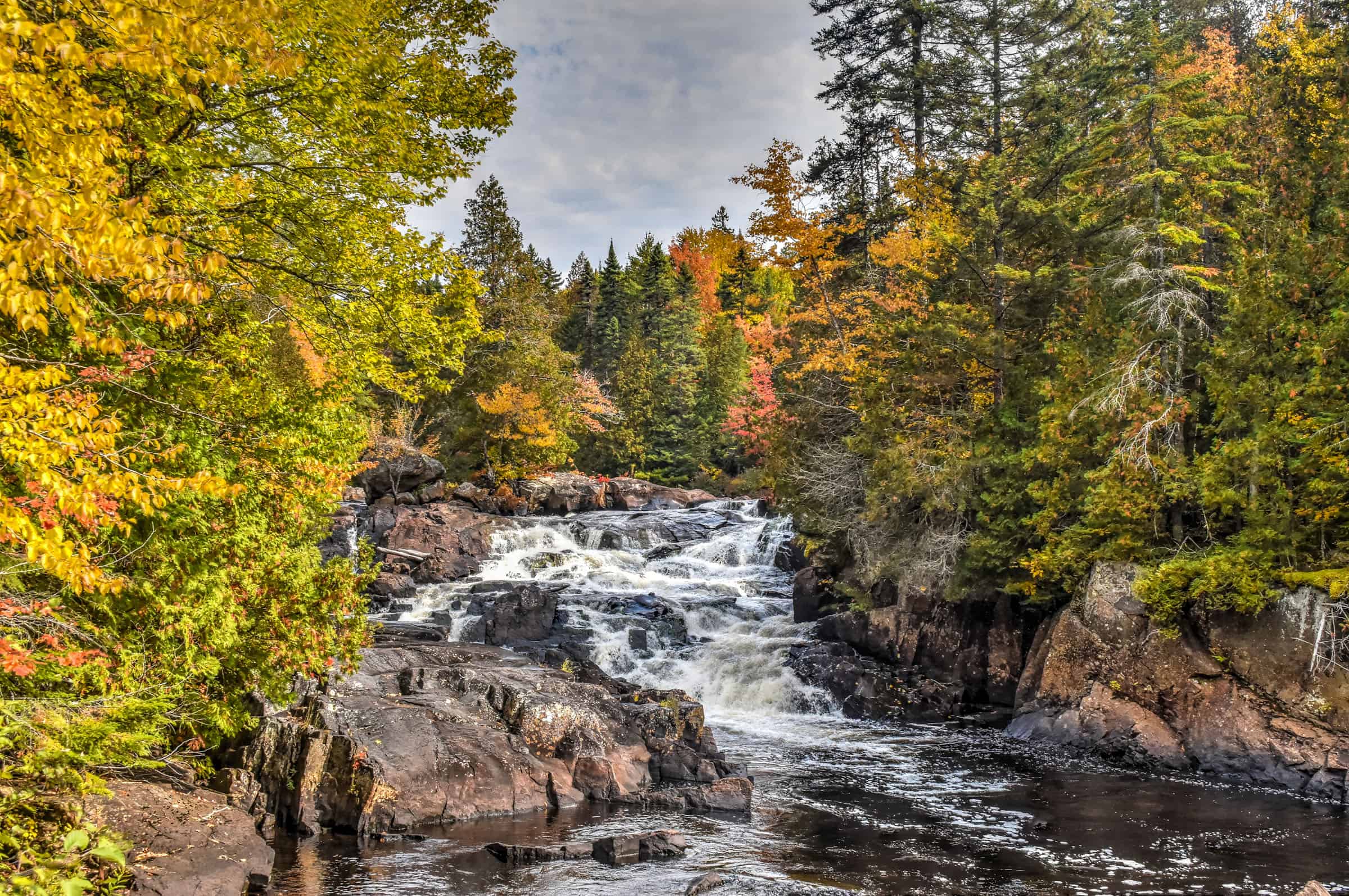
Québec isn’t blessed with many spectacular waterfalls (aside from the beautiful Chutes Montmorency near Québec City), and the parks around Montreal are no different. The one exception is Mont-Tremblant National Park, which boasts four small but scenic waterfalls, including the Chutes du Diable and the Chutes Croches.


Most Remote National Park
Want to see fewer people during your outdoor activities? Then definitely head to Mont-Mégantic National Park. We always notice a fraction of the people we typically see in the other parks from this list.
Other National Parks to Discover
Grands-Jardins National Park
Distance from Montreal: about a 4h drive (390 km)
Distance from Québec City: about a 1h30 drive (125 km)
Grands-Jardins National Park is one of our favorite winter hiking destinations in the province of Québec. Located in the picturesque region of Charlevoix, the park’s scenery and mountain landscapes as seen from atop the peaks in the park are simply stunning, particularly during winter.


For more information on visiting this beautiful park, check out our Grands-Jardins National Park guide.
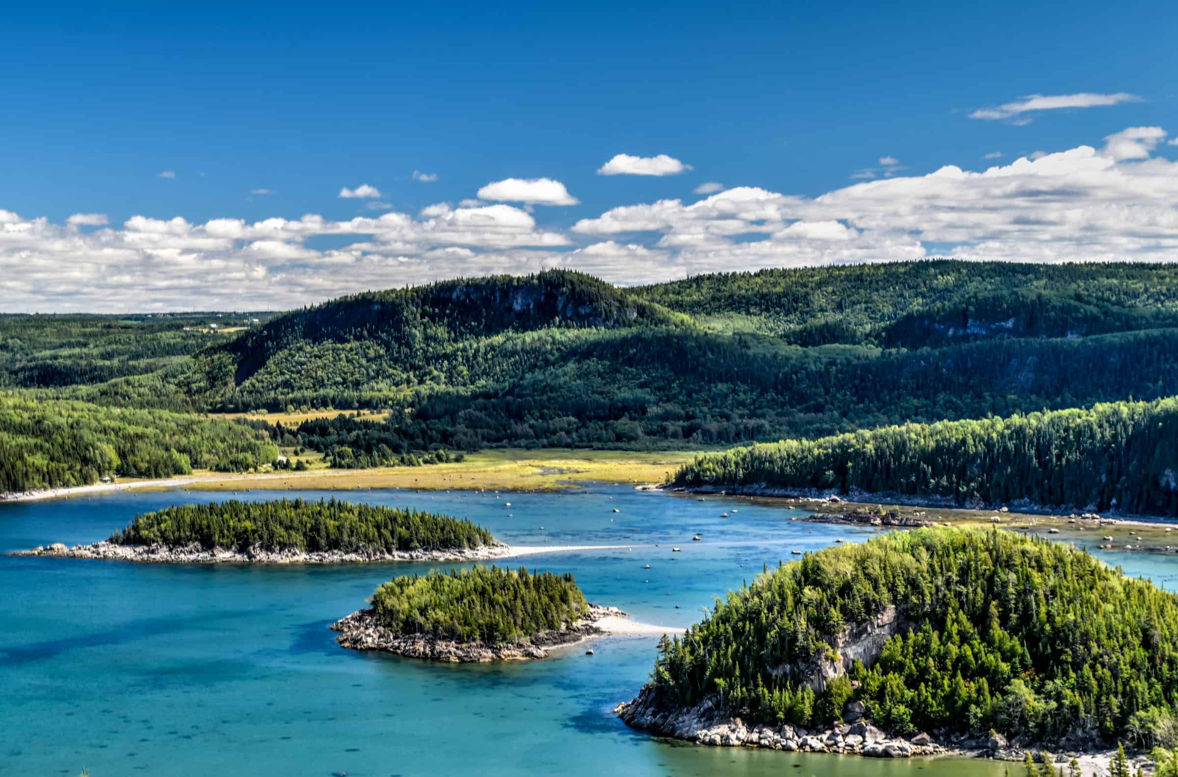
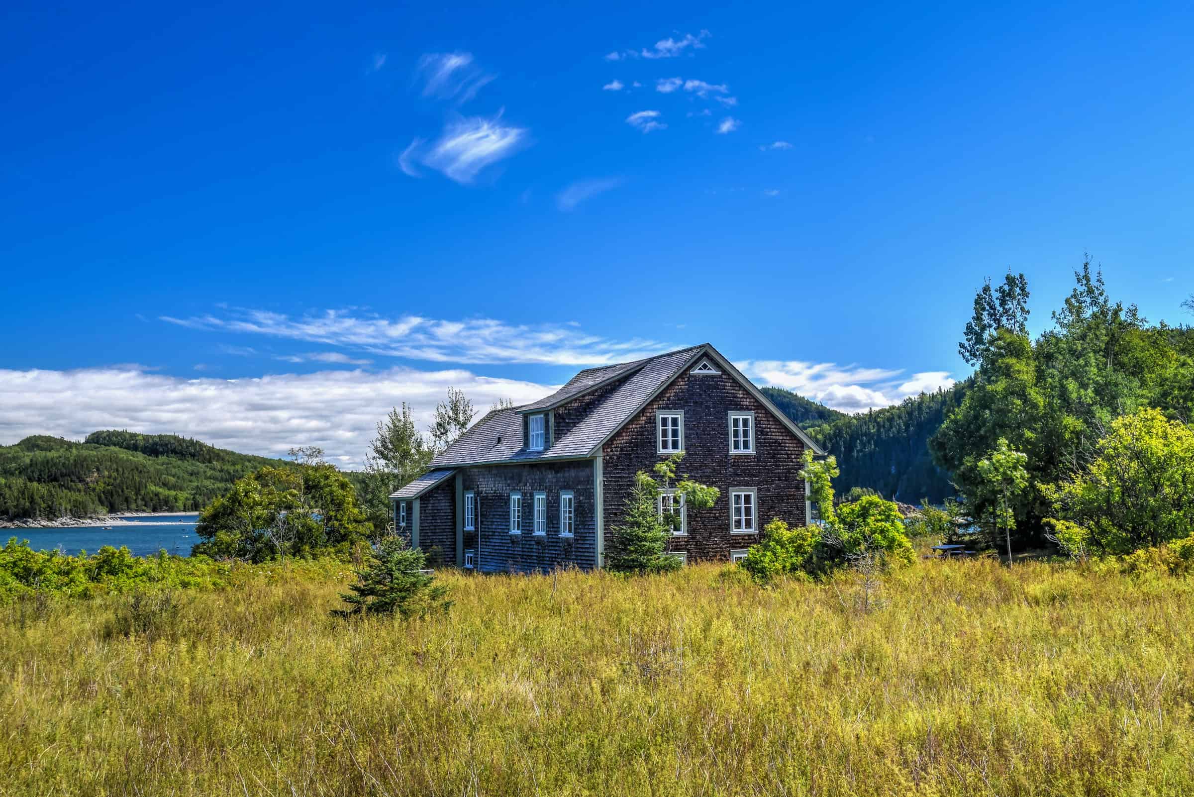
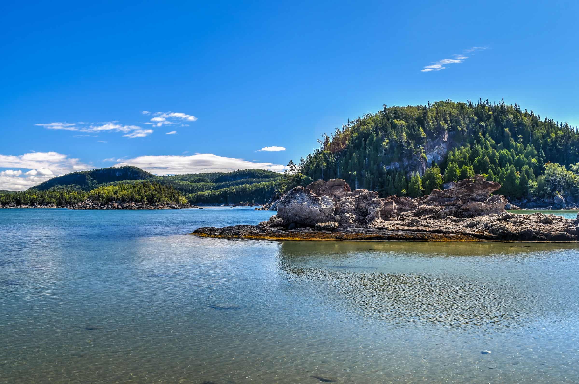
Bic National Park
Distance from Montreal: about a 4h drive (390 km)
Distance from Québec City: about a 1h30 drive (125 km)
Located in the Bas-Saint-Laurent region, near Rimouski, roughly midway between Québec City and the heart of the beautiful Gaspésie region, BIC National Park is a unique coastal environment where you will find scenic hiking trails among capes, bays, coves, islands, salt marshes and steep peaks. Here the tides play a role, as several trails are only accessible during low tide. It’s also a great park for marine wildlife sightings the many harbour and grey seals that frequent the waters of the park.


For more information on visiting this beautiful park, check out our Bic National Park guide.
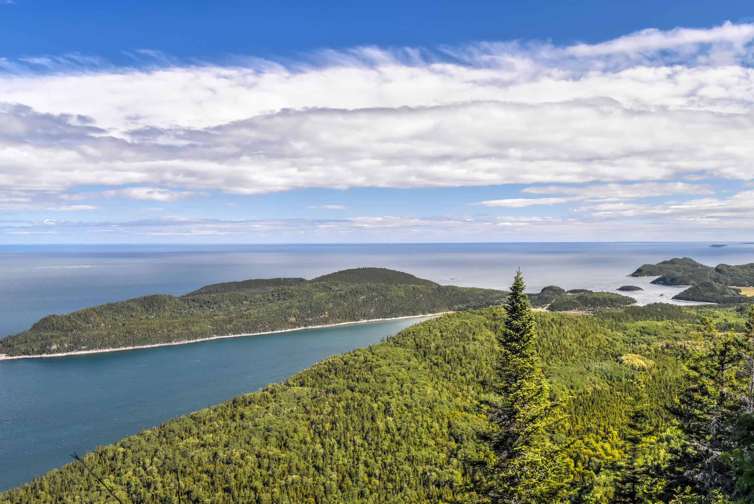
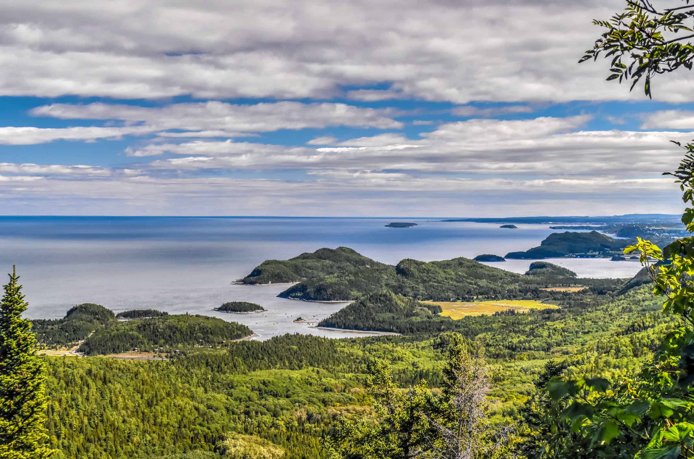
Gaspésie National Park
Distance from Montreal: about a 8h drive (750 km)
Distance from Québec City: about a 5h30 drive (525 km)
Gaspésie National Park is a hiker’s paradise in Quebéc’s somewhat remote eastern region of Gaspésie. Although the Gaspésie region is primarily known for its scenic coastal landscapes and its fresh seafood, Gaspésie National Park is located in the heart of the region’s mountainous region, with 25 peaks towering over a thousand metres (3,280 ft). The park is known for its rugged mountains and fantastic hiking opportunities (including the International Appalachian Trail that runs through the park).


For more information on visiting this beautiful park, check out our Gaspésie National Park guide.
Île-Bonaventure-et-du-Rocher-Percé National Park
Distance from Montreal: about a 5h30 drive (515 km)
Distance from Québec City: about a 3h drive (300 km)
This spectacular island is located just off the coast of Percé, one of Gaspésie’s touristic centers and known for its famous pierced rock (aka Le Rocher Percé). Although the island is beautiful and scenic in its own right, its main draw is the largest migratory bird refuge in North America, where you will find the most accessible and second-largest Northern Gannet colony in the world. The Northern Gannet is the most common bird found on the island, with a population of over 100,000


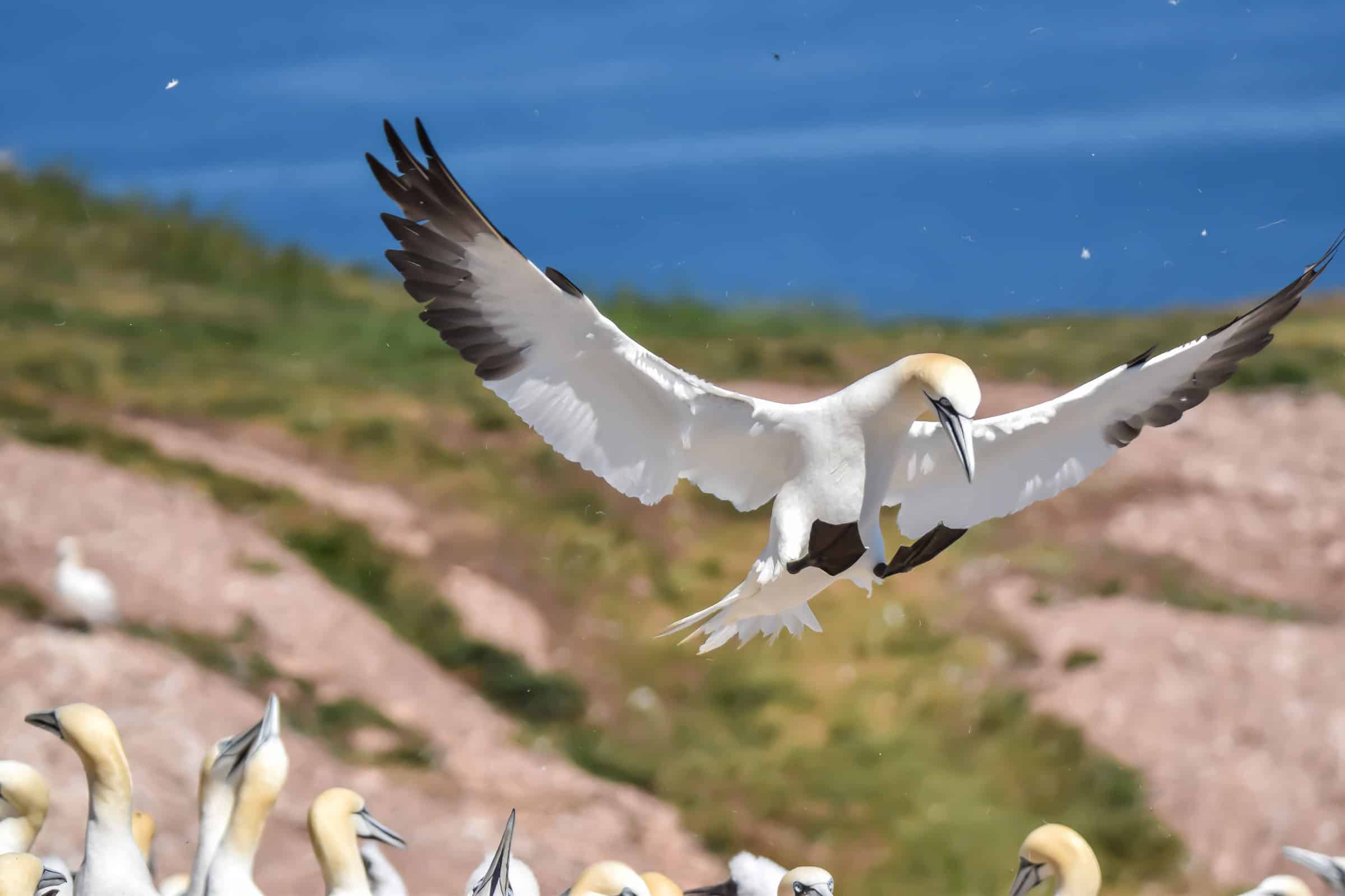
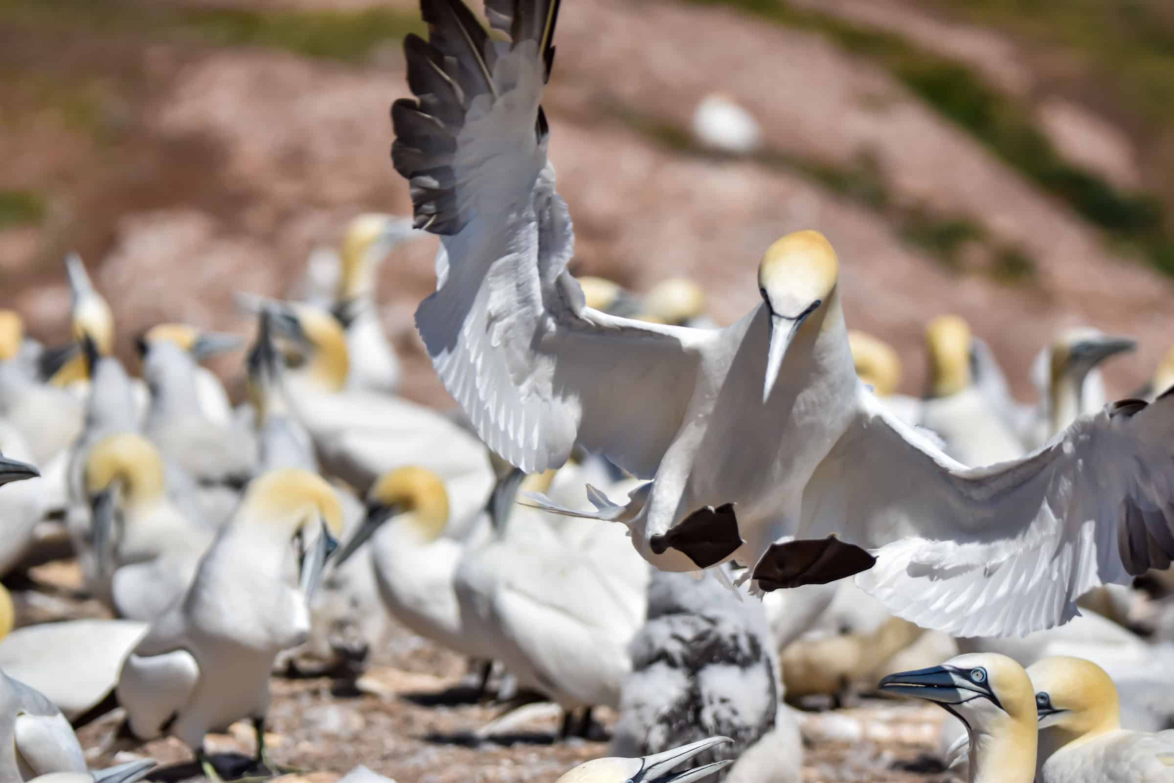
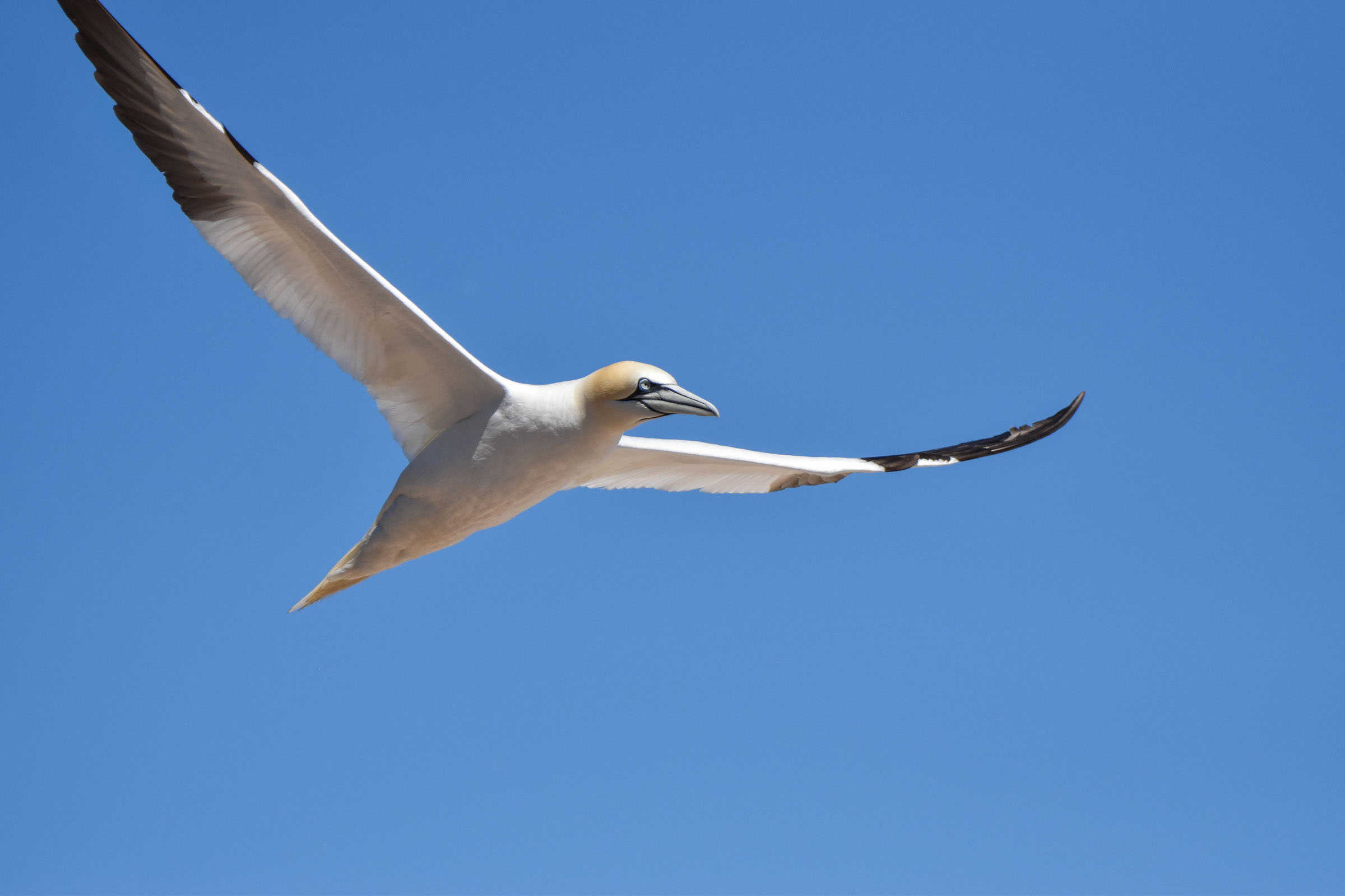
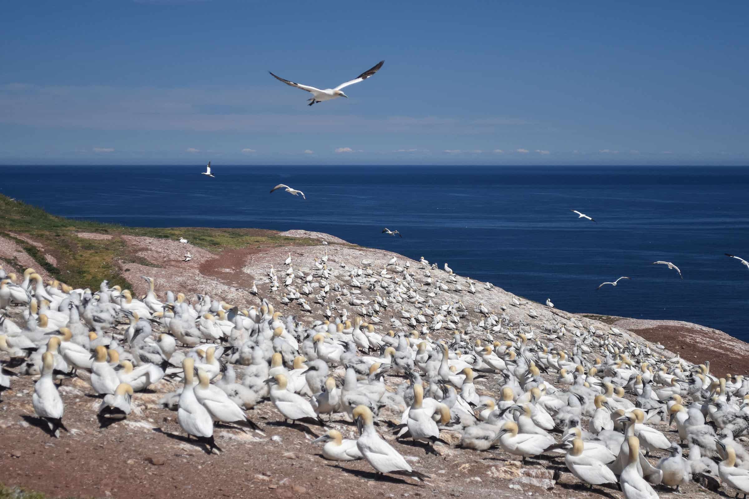
For more information on visiting this beautiful park, check out our Île-Bonaventure-et-du-Rocher-Percé National Park guide.
Jacques-Cartier National Park
(coming soon)
Want to Discover More Hiking Trails Around Southern Québec?
You might be interested in these pages:
Best Hiking Trails Near Montreal
Best Hiking Trails Near Mont Tremblant
Best Hiking Trails in the Eastern Townships
Quebec Hiking Trails that Are Stunning in Winter
Photography Gear
If you like our photography, you might be interested in some of the gear we use to shoot our travel and hiking destinations.
Camera Body – Nikon Z 6ii Fx-series Mirrorless Body
Main Lens – NIKON 24-120mm F/4G ED VR AF-S
Zoom Lens – Sigma 745-306 150-600mm f/5-6.3
Polarizing filters – Urth Circular Polarizing (CPL)
Camera Tripod – K&F Concept 64-inch Camera Tripod
Mini-tripod – Lammcou Flexible Camera Tripod
Camera/hiking backpack – Vanguard Alta Rise 48 Backpack
Universal Travel Adapter – VYLEE Universal International Power Travel Plug
Other Travel Essentials
Travel Insurance
SafetyWing is a travel insurance company that offers comprehensive coverage for travellers. Includes Medical Insurance and Travel Insurance. Primarily geared towards long-term travellers, digital nomads, and expats.
e-Sim cards
Airalo is the world’s first and largest eSIM store with eSIM plans for 200+ countries and regions worldwide. With Airalo eSIMs, travellers can get connected the moment they land at their destination and avoid nasty data roaming charges
eSIMS are a sustainable alternative to single-use SIM cards – they are 100% digital, require less energy to produce and be re-used rather than disposed of.
Car Rentals
Discover Cars is our go-to website for car rentals. We almost always find our preferred rate there.
Transfer from Airport
Welcome Pickups is our favourite private transfer service, which you can pre-book at a fixed price. Currently available in 220 cities all over the world (mostly in Europe, but with several major cities in Asia, the Middle East and the US).
Kiwitaxi is another private transfer service – we haven’t tried it yet, but it’s currently available in a few more countries (102 as of 2024).
Hotels and Accommodations (coming soon)
Photography Prints
If you found this blog useful, you can help support our blog by purchasing low-cost digital prints. Printed physical prints are also available for purchase.


—–
Well, that wraps it up! We hope you enjoyed our Best National Parks Near Montreal Guide and that it will prove useful for planning your hiking trip.
—–
You might also be interested in these related pages: