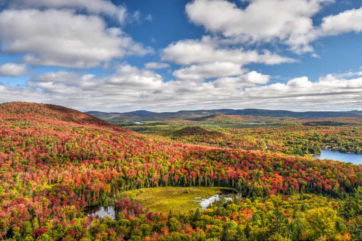
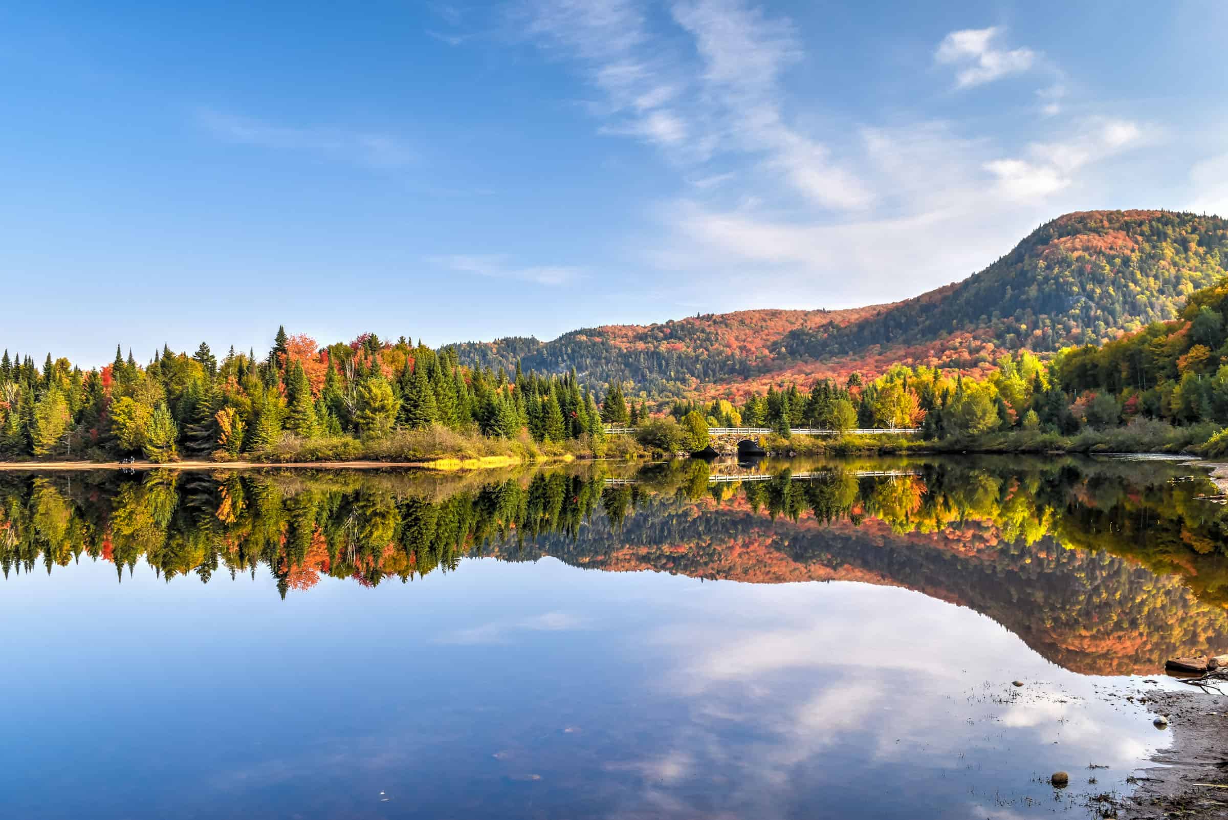
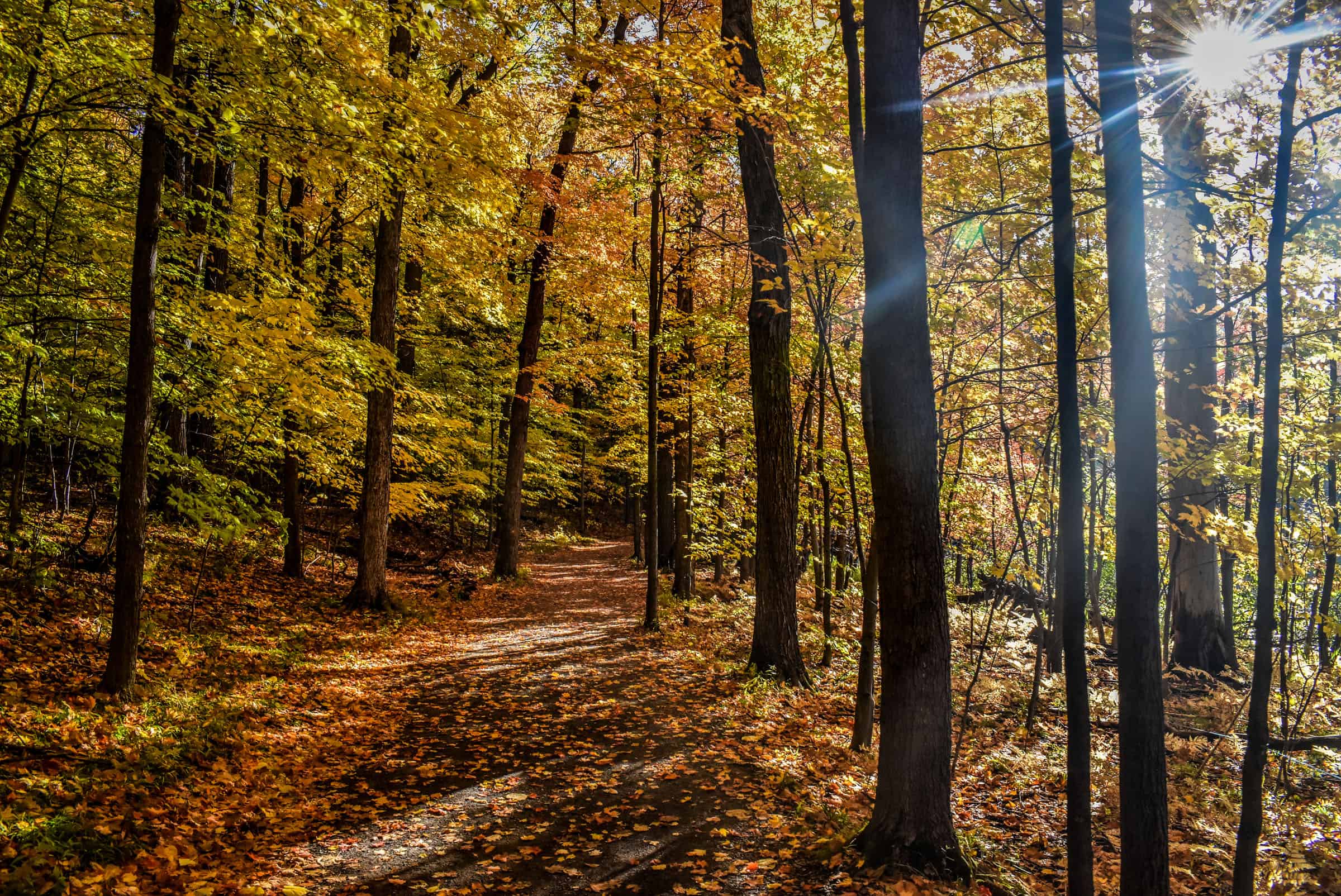
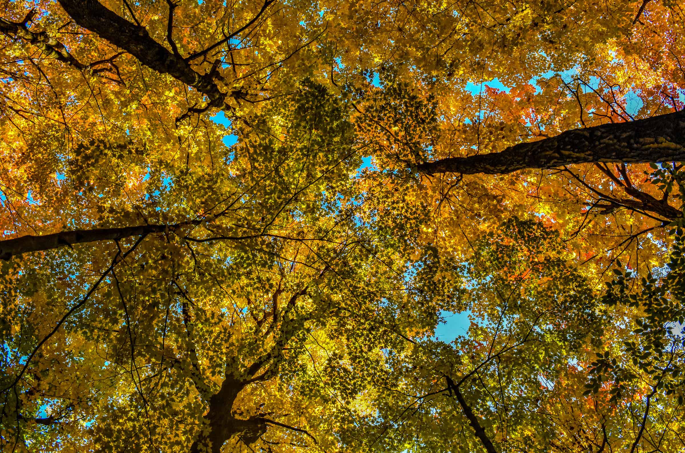
Southern Quebec is blessed with a beautiful fall foliage season every year. Whether you live in Montreal or are just passing through, there are several fantastic parks and nature areas to visit from the city to admire some spectacular autumn colours. To help you get the most out of the region’s beautiful autumn season, we put together this guide to exploring the Best Parks and Trails To See The Fall Foliage And Autumn Colours Near Montreal. We will limit our list to those trails and parks that are within about a 2-hour drive of the city.
Disclosure: This page (Best Parks and Trails To See The Fall Foliage And Autumn Colours Near Montreal.) may contain product affiliate links. At no additional cost to you, we may receive a commission for purchases made through these links. More details can be found on our disclosure and policies page.


Introduction – Best Parks and Trails To See The Fall Foliage And Autumn Colours Near Montreal
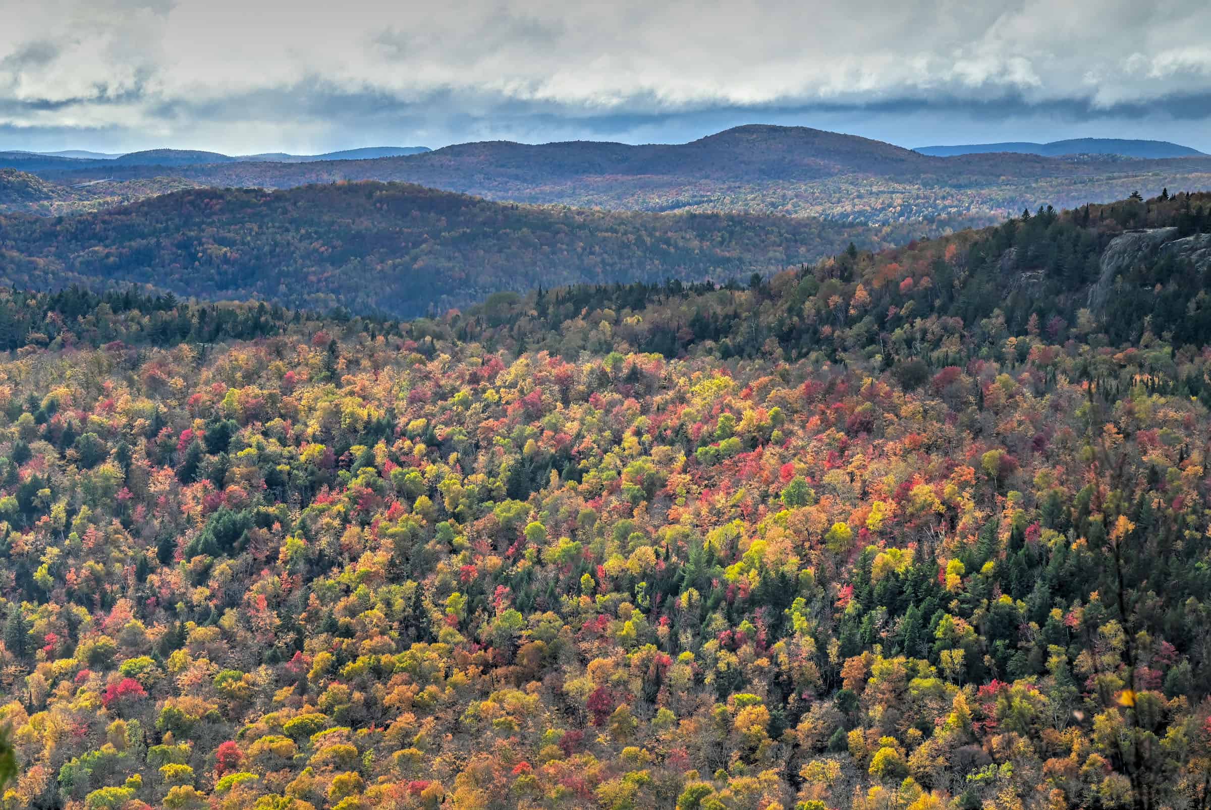
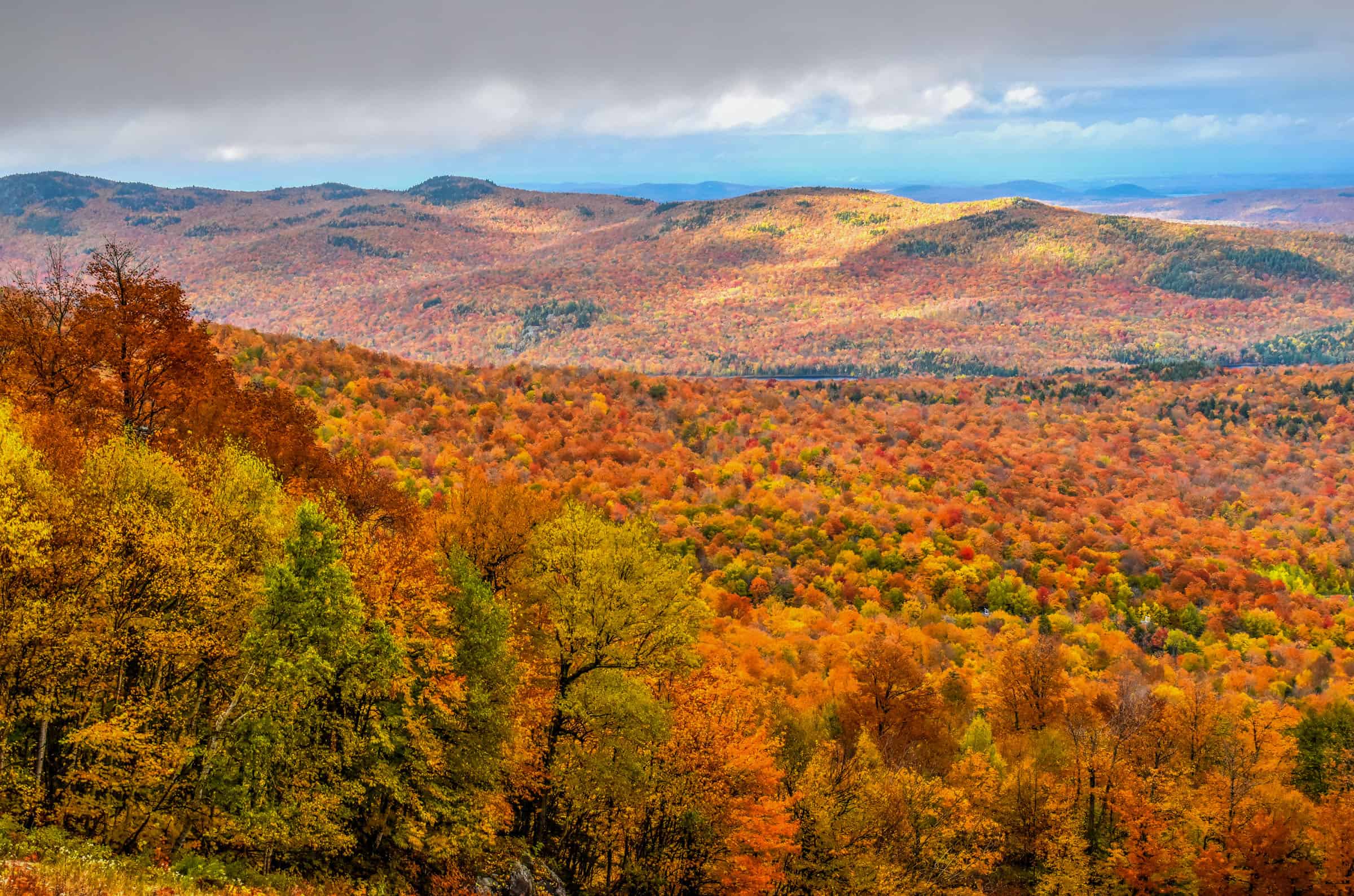
In this guide, we will primarily focus on trails from two regions: the Laurentians (north of Montreal), particularly the area around Mont-Tremblant, and the Eastern Townships, particularly the area around Mont-Orford. That being said, we will present slightly more trails from the Laurentians. The Laurentians have more lakes, forests, and mountains, and have a more extensive trail network than the Eastern Townships, whose mountains are fewer and farther between, interspersed with flat farmlands. Overall, we find the Laurentians to be slightly more scenic, particularly for providing panoramic and colourful autumn landscapes.
Many of the trails and parks described below are part of the SEPAQ network of Québec National Park, all of which charge the same access fees and you can buy an annual pass that allows unlimited access to all parks.
Daily access fees and Annual passes
Quebec National Parks are managed by the SÉPAQ, a government agency that manages all provincial parks and wildlife preserves in Québec.
There is a limit to the number of visitors that can enter any Québec SÉPAQ National Park on any given day. It is therefore strongly recommended that you purchase your daily right of access online before a visit or that you acquire an annual pass.
The daily pass ($9.85 (2024)) can be purchased here up to 30 days before a visit.
The annual pass can be purchased here either for unlimited access to a single national park ($49.25 (2024)) or for unlimited access to all SÉPAQ national parks ($88.50 (2024)). Even if you have an annual pass, we still recommend arriving early in the morning or mid-to-late afternoon to avoid showing up to a filled parking lot.
Most of the other parks and trails presented below are free to access.
If you want to see beautiful fall colours without having to leave the city, be sure to check out our page on The Best Places to See Fall Colors in Montreal. Indeed, several spots within the city are great for admiring the fall scenery.
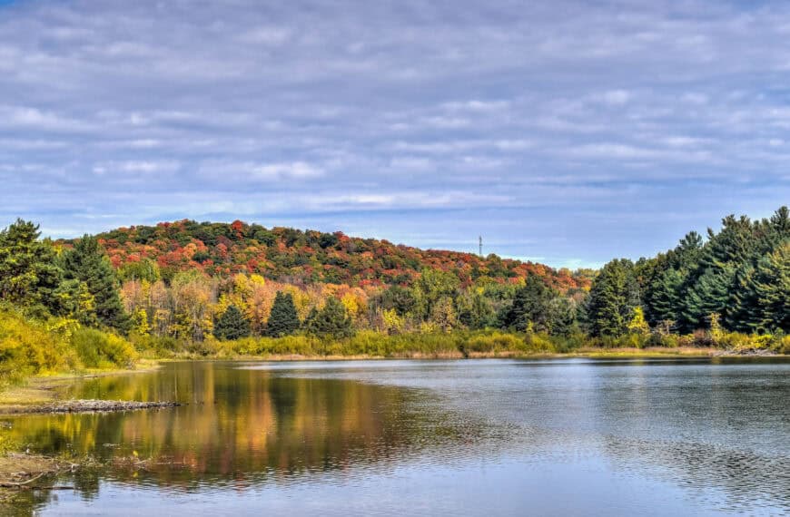
When is the Best Time to View the Peak Autumn Colors
There’s no definite answer to this question, as it highly depends on the specific region and there is also significant year-to-year variation. That being said, we can comment on what is considered the average peak period for each region.
Typically, the Laurentians hit their peak color period first, usually around the first day of October, give or take a few days. The Eastern Townships, and particularly the area around Mont-Orford, will typically hit their peak color period about a week later, between October 5th-10th. But even if you miss the “peak” period, there’s no need to worry, each region typically has a good two-to-three-week window of colorful foliage, with the “peak” period falling somewhere in the middle.
To help you plan your next autumn excursion, this Quebec tourism page produces a map (you will have to scroll down a bit to see the map) that is updated weekly and highlights when specific areas in the regions are hitting their peak fall colours.
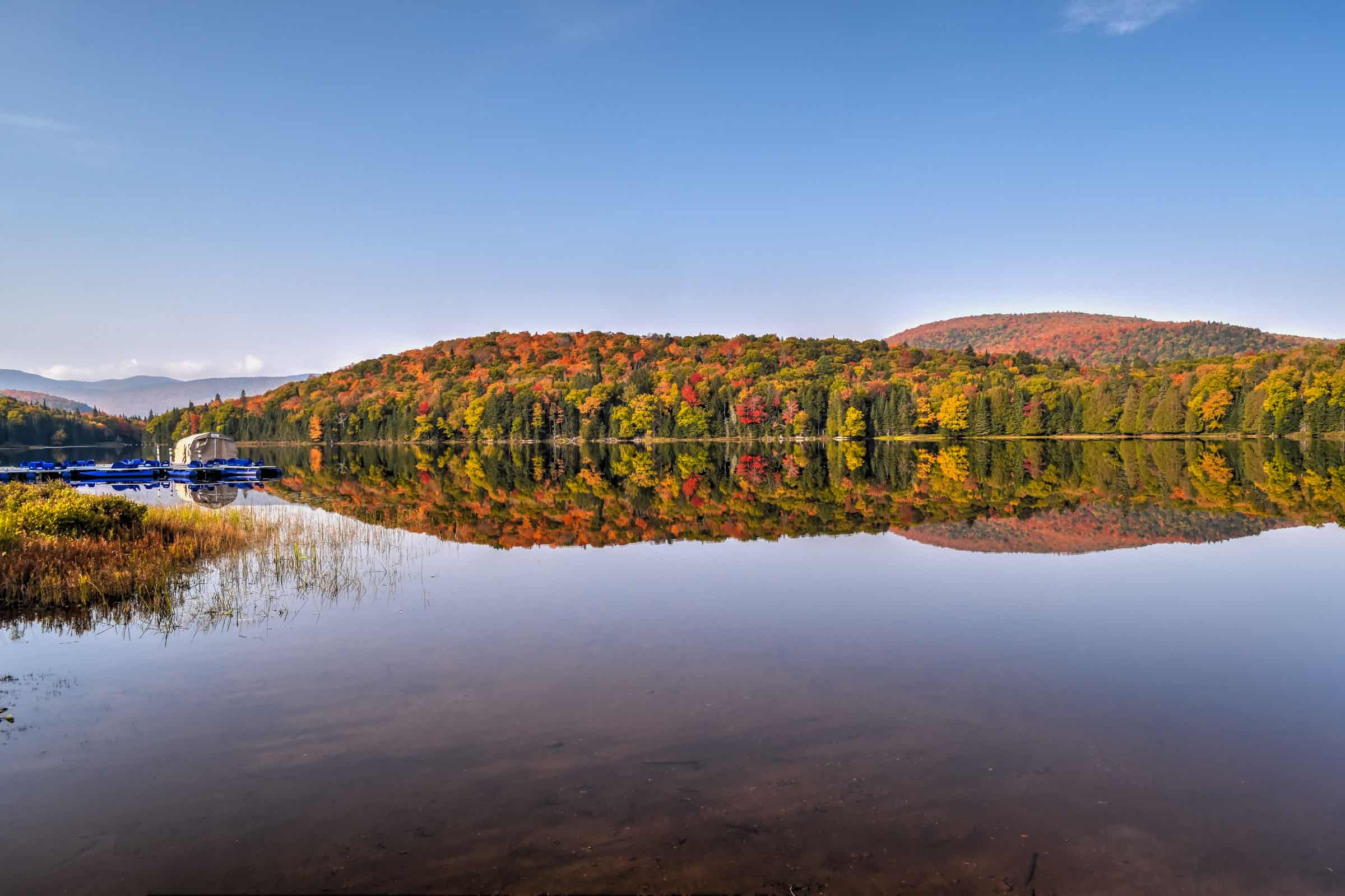
Best Parks and Trails North of Montreal (Laurentians and Lanaudière)
Morin Heights
45 minutes from Montreal – An easy yet scenic path in this area is known as the Corridor Aéorobique trail, a multipurpose path that runs for a total of 58km. Our favorite section is the one that connects Morin Heights to the village of Monfort to the west.


The elevation gain listed below is somewhat misleading: it’s so progressive that it is barely noticeable and the trail truly feels flat. Also, there’s no need to walk the full 19km of the trail, it’s beautiful all over, and there are a few different parking spots you can start from along the trail.
Distance: Full length of 19 km (9.7 km in each direction)
Route Type: Out & Back
Elevation gain: 165 m
Start point: Car Park; or this car park to start closer to the lakes.
AllTrails rating: (4.5, 208 ratings (2024))
Duration: It would take about 4h30 to walk the full length of the trail (including return)
Access Fees: free
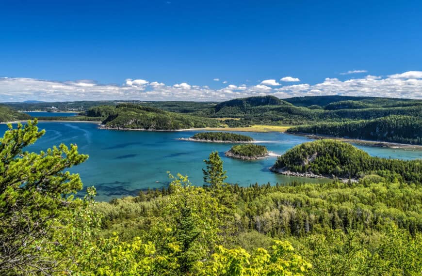
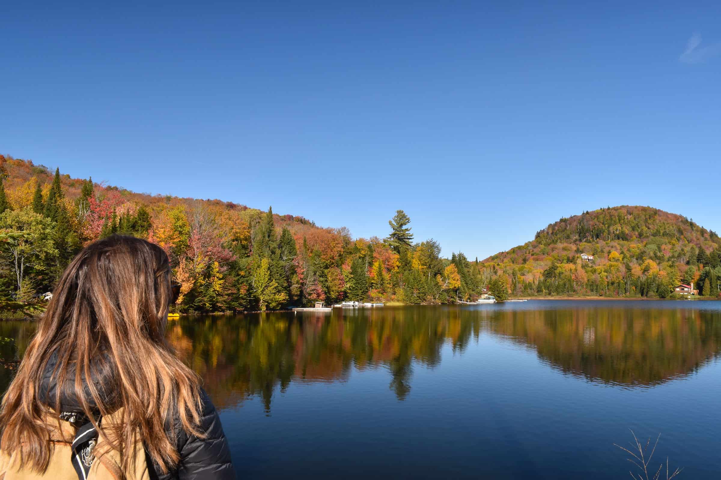
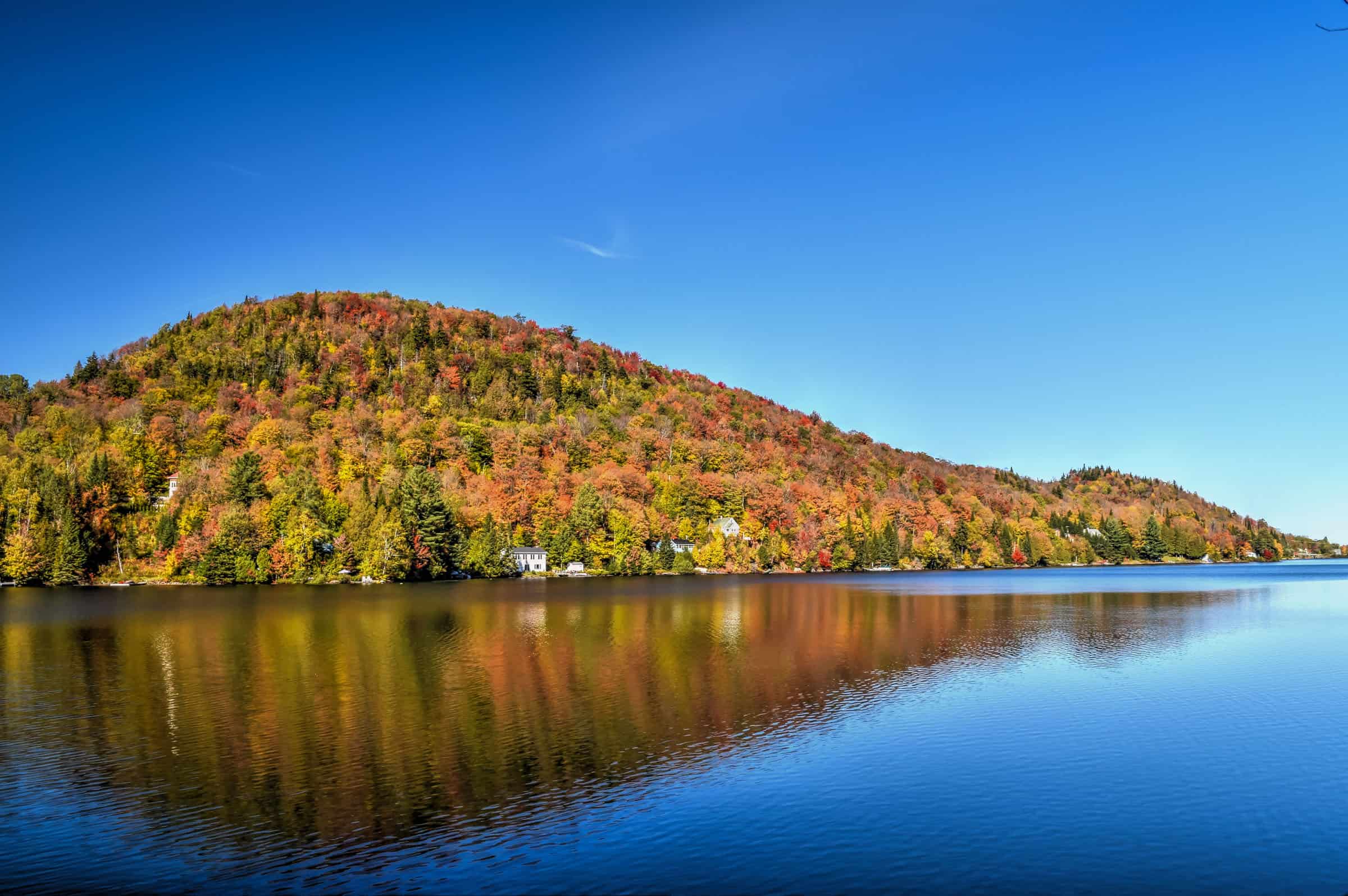
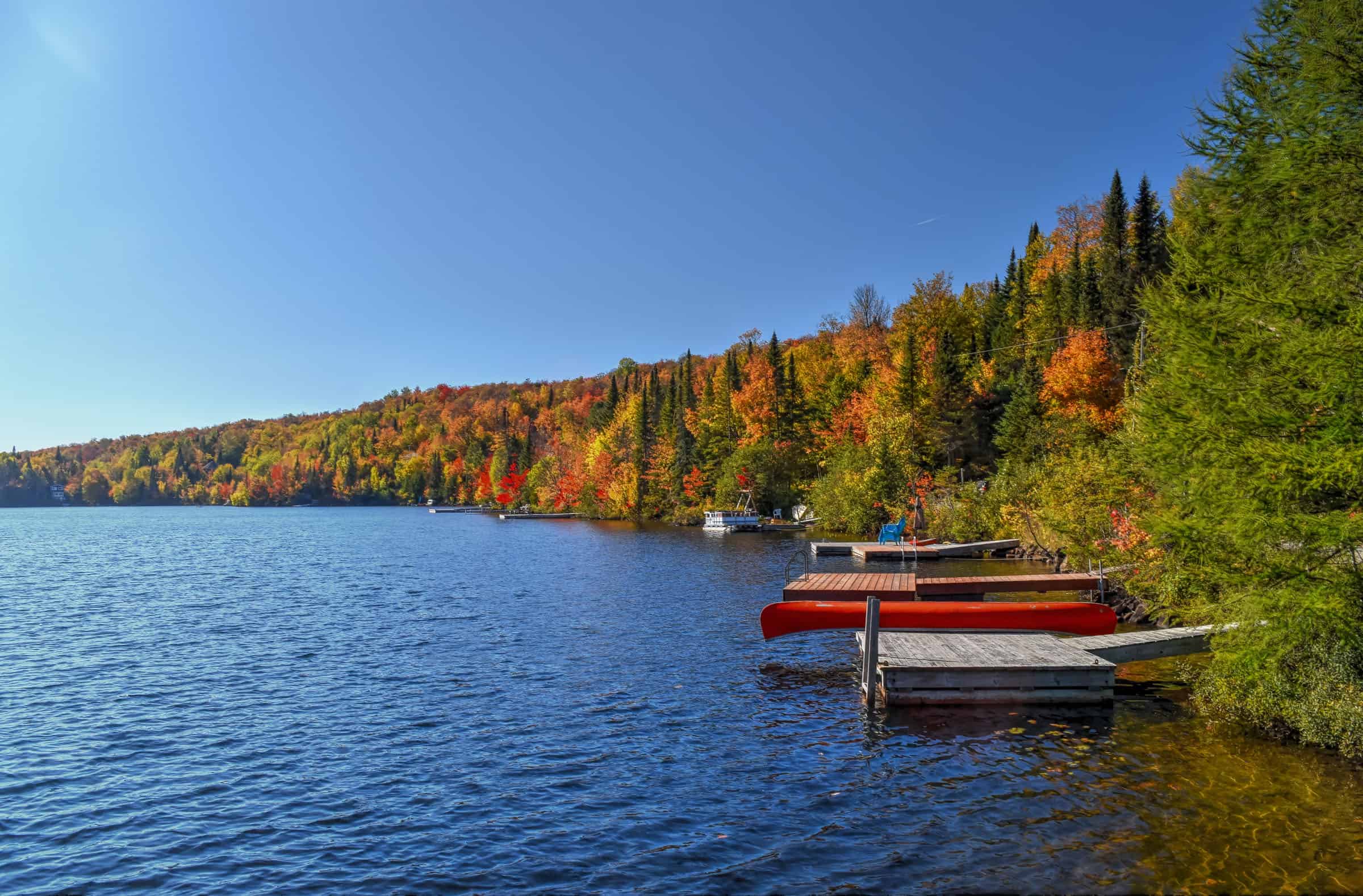
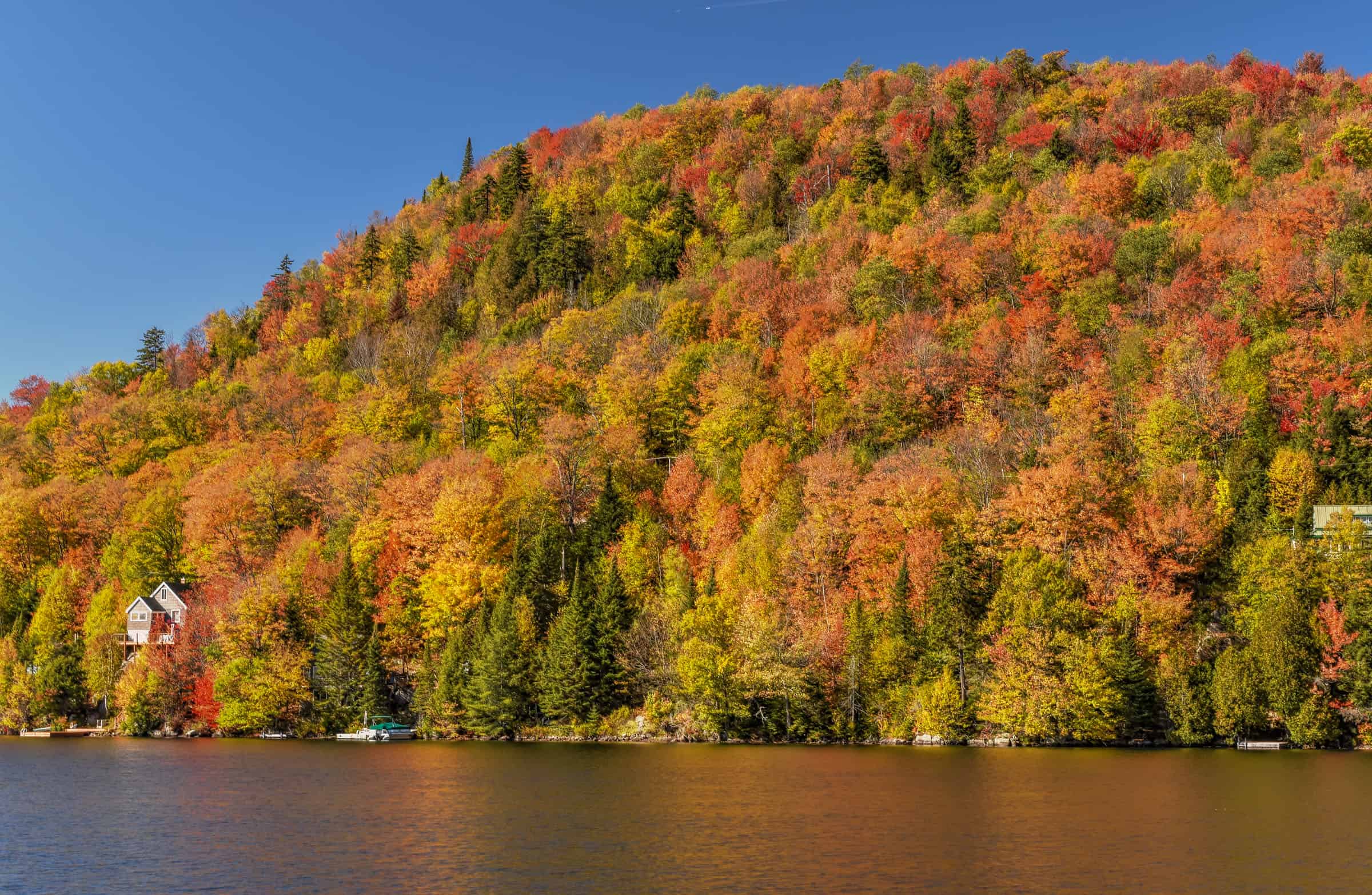
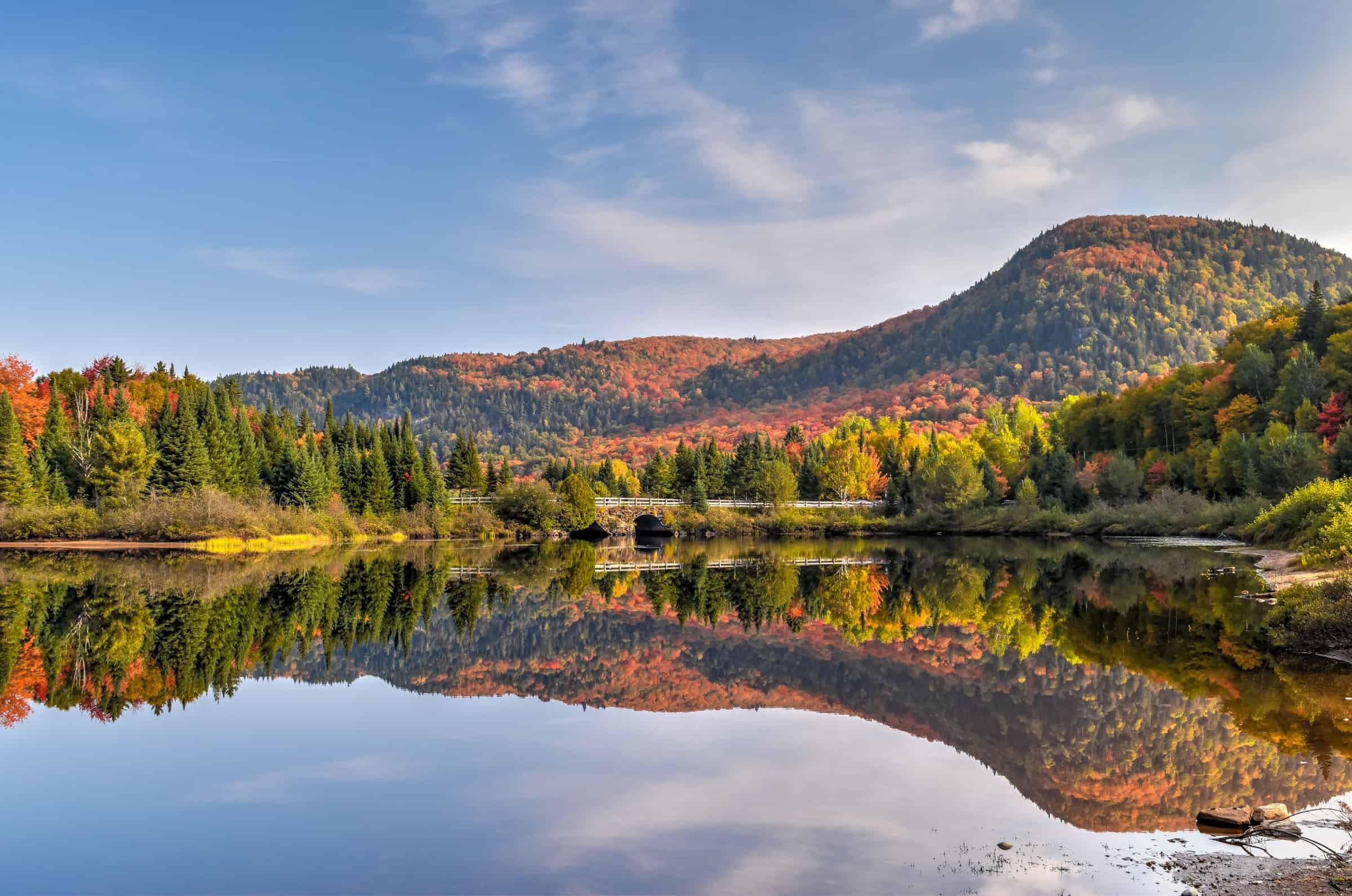
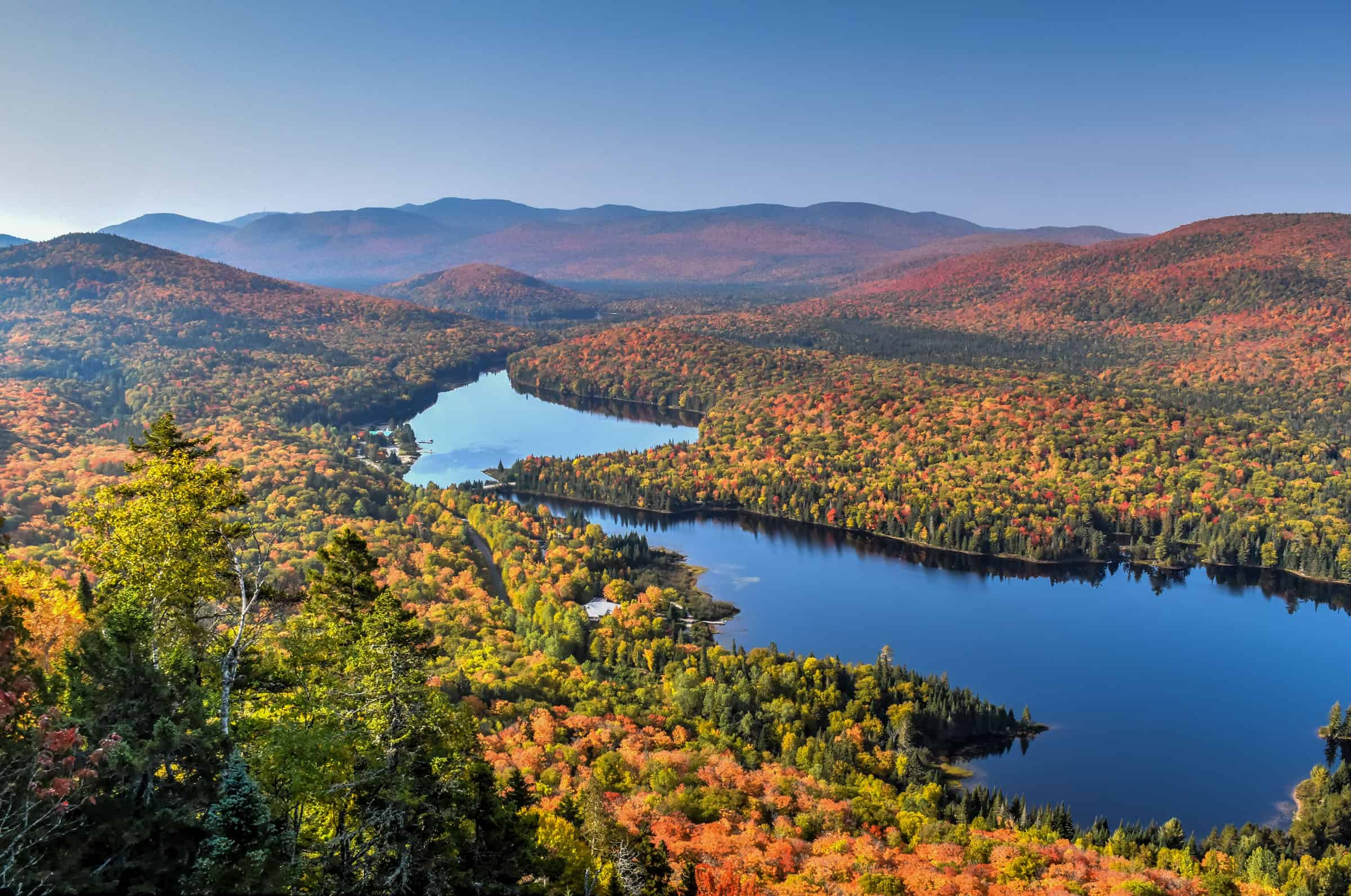
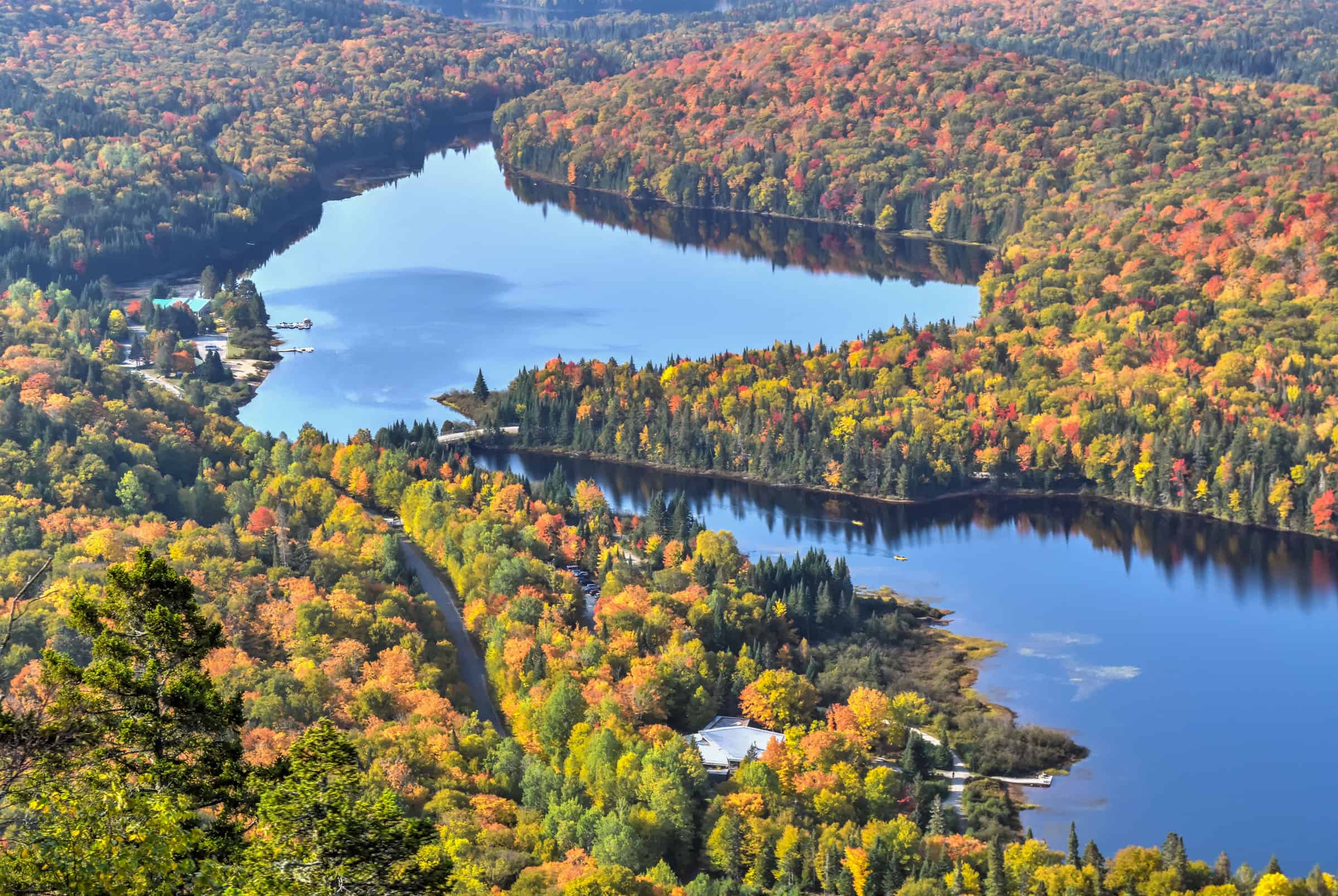
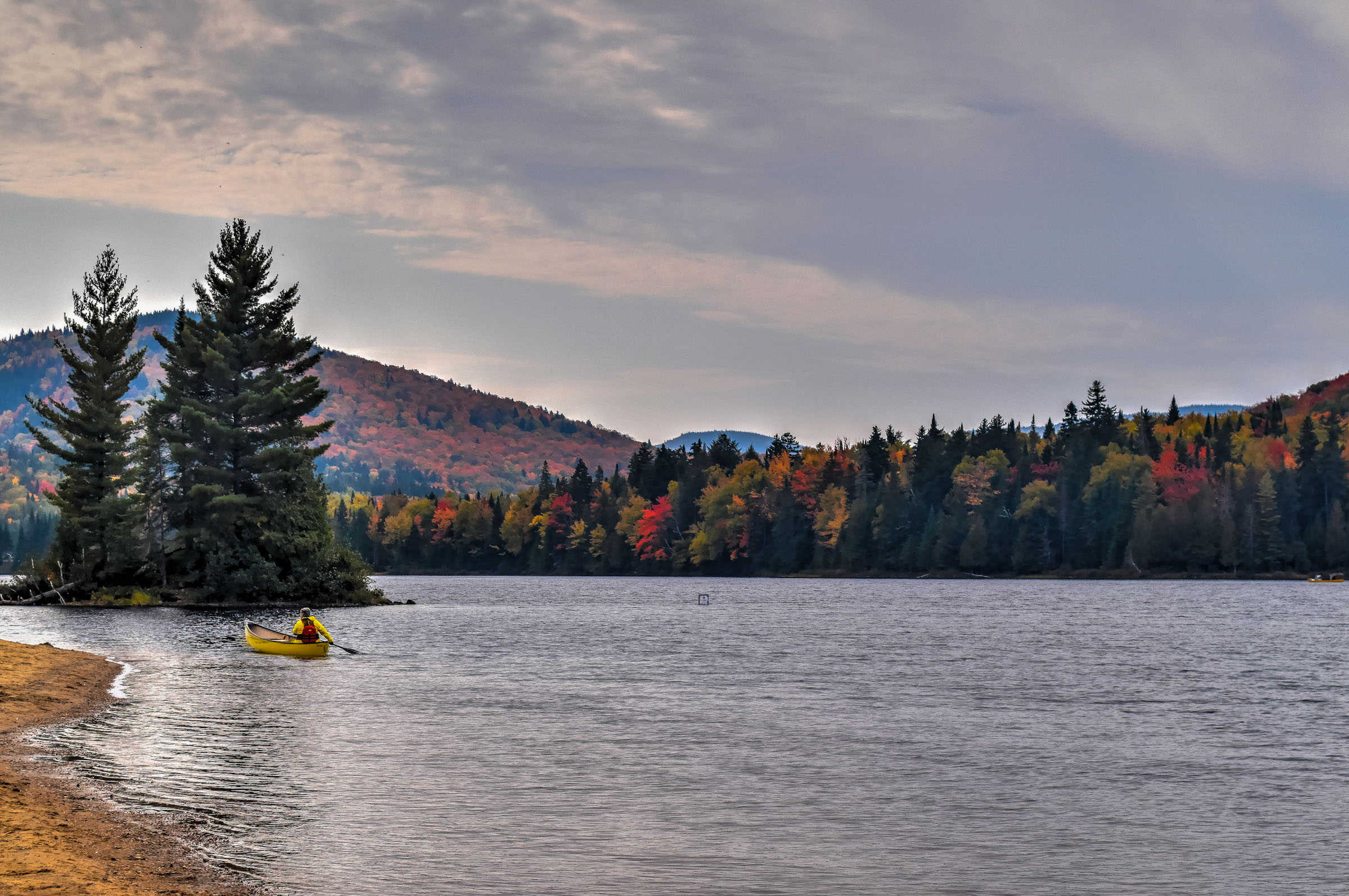
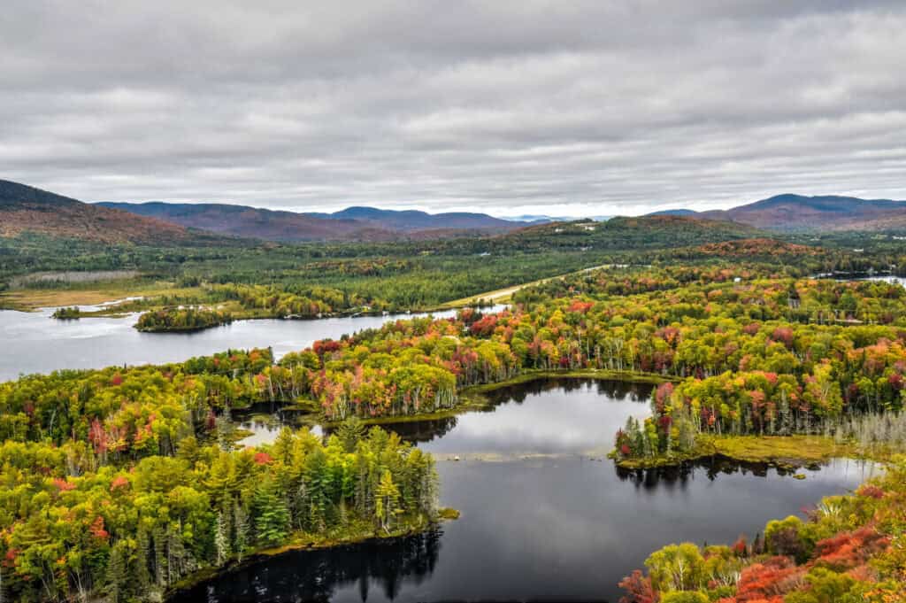
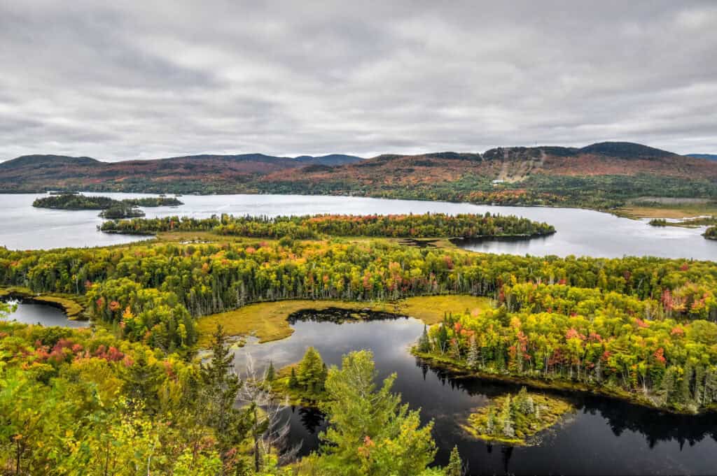
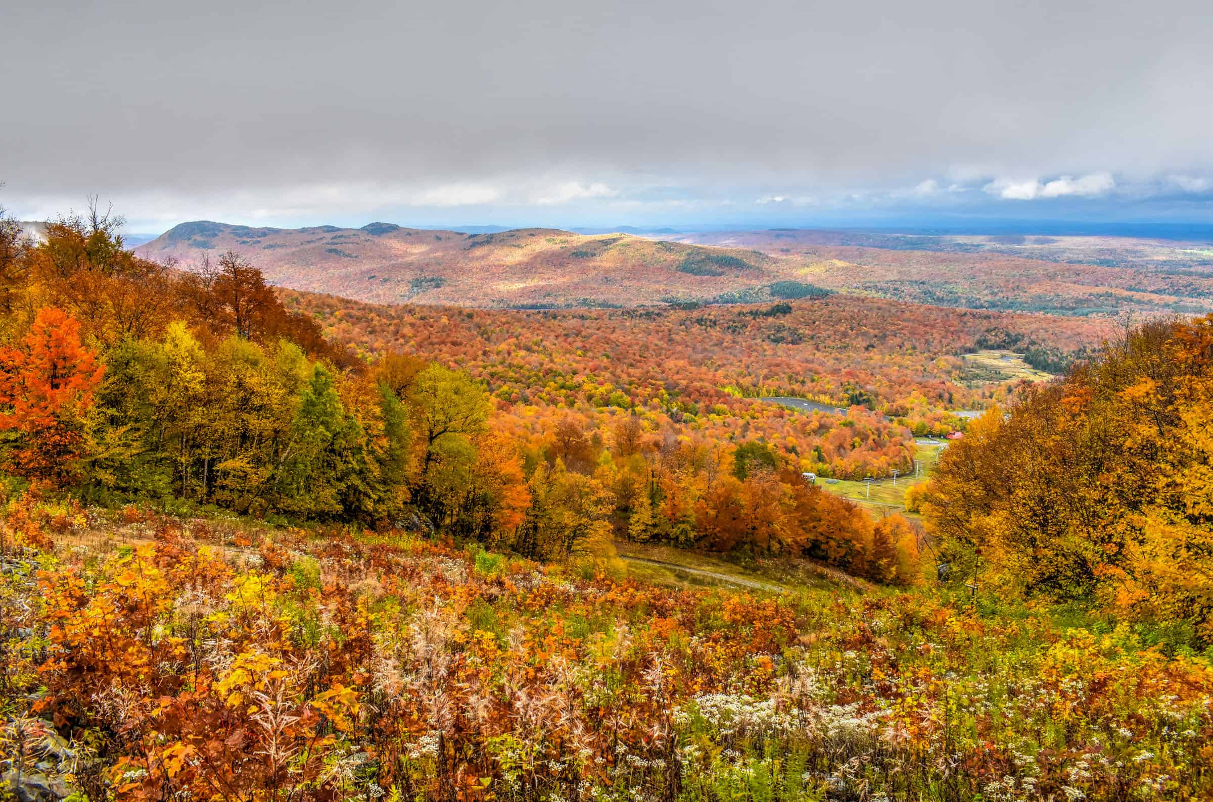
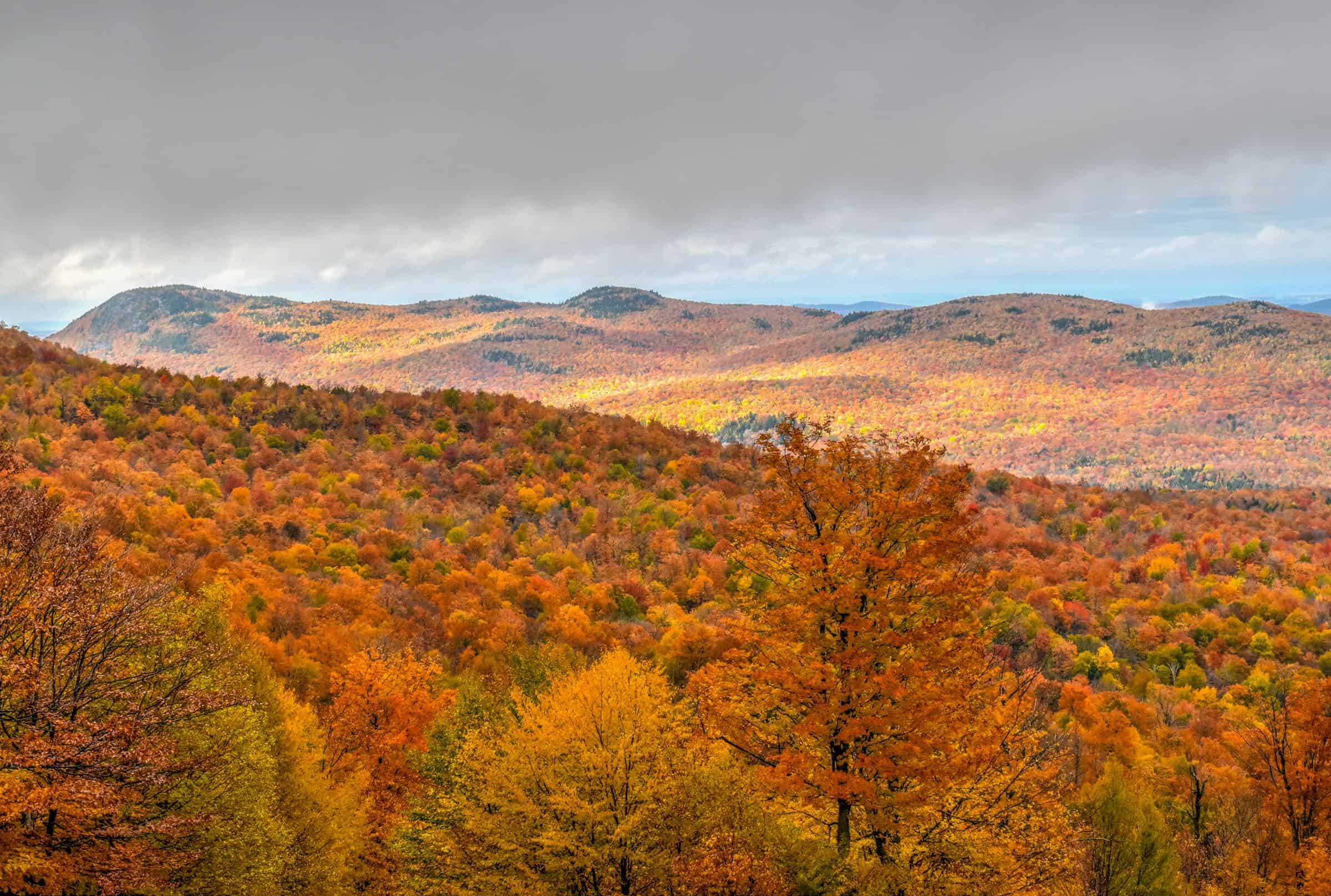
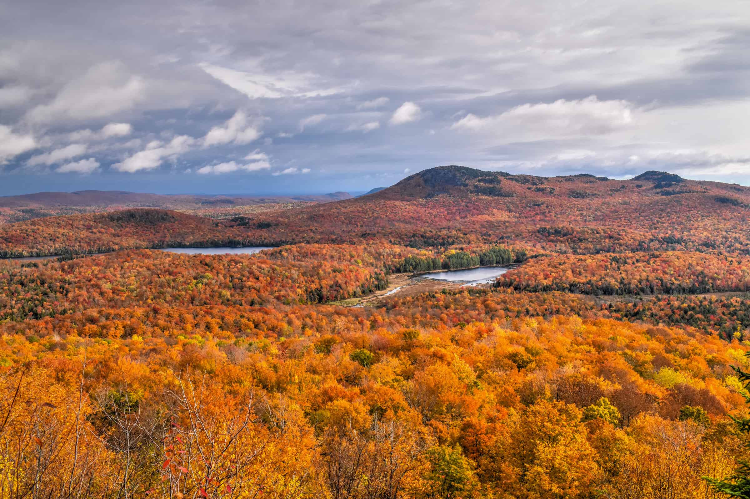
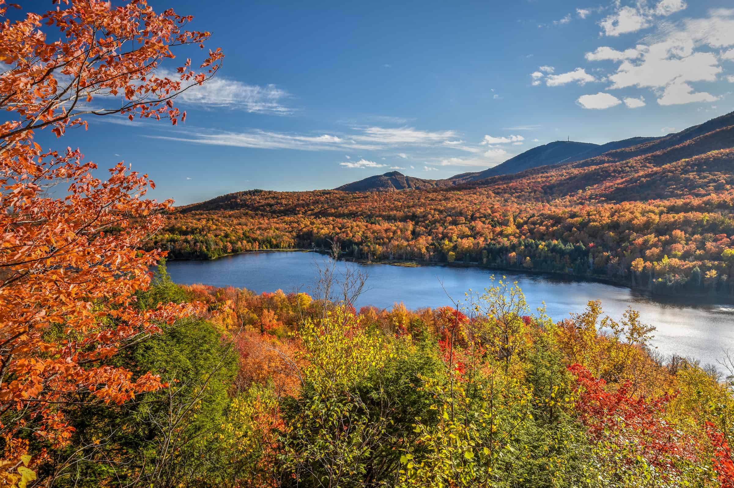
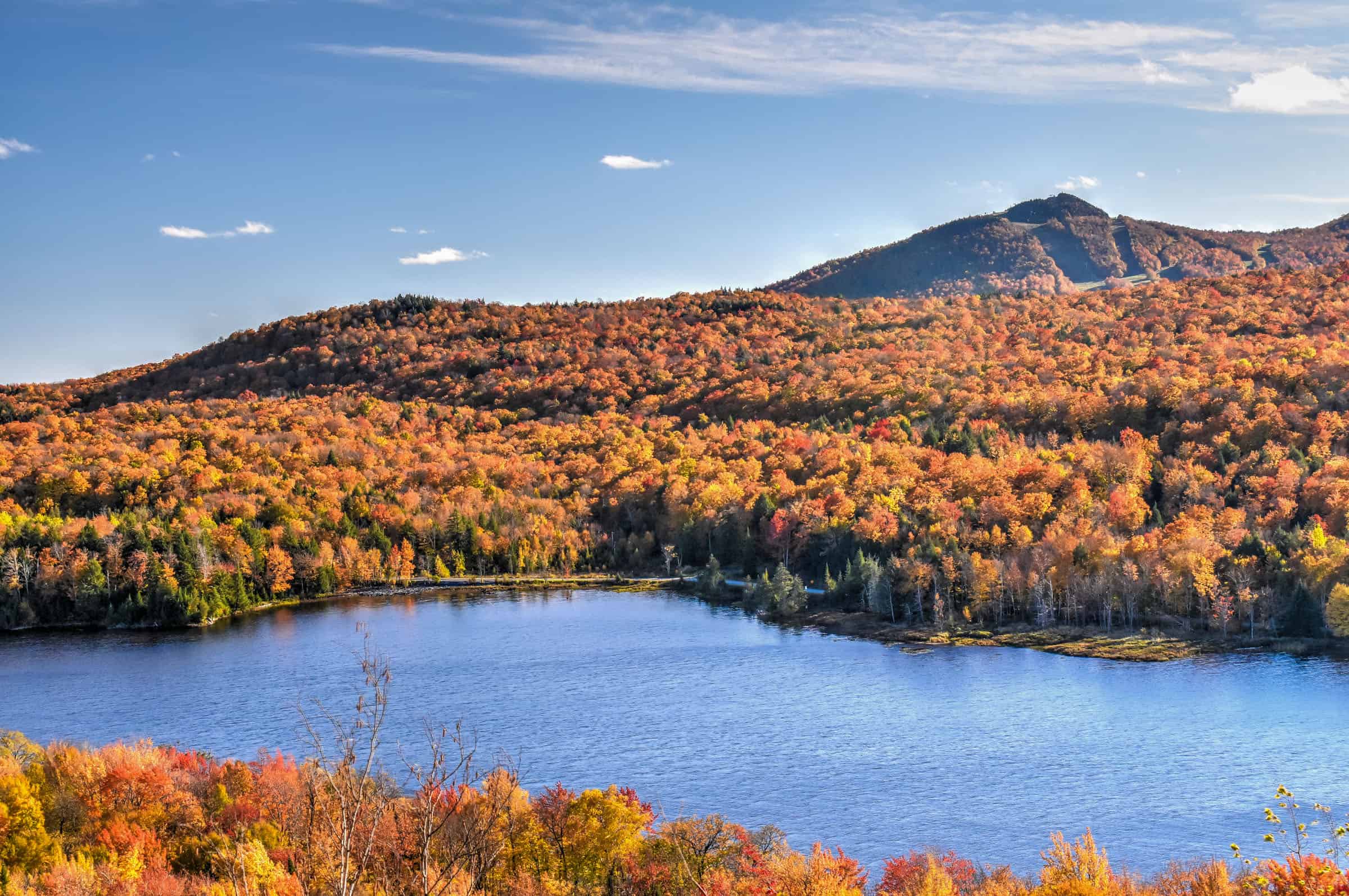
Mont-Tremblant area
1h30-1h45 from Montreal – There are lots of great trails in and around Mont-Tremblant. We are less fans of hiking on Mont-Tremblant itself as most of the trails use (or crisscross) the ski slopes. That being said, it’s the perfect place to enjoy panoramic views without having to hike much because here you can use a Mont-Tremblant Panoramic gondola. A round-trip ride costs $28 for adults or $10 for just a return trip (2024). The gondola is open for hikers from mid-May to mid-October and runs daily, starting at 9 am. The last service varies through the season (see full schedule here).
Two of our favorite hikes around Mont-Tremblant are located in the nearby township of Labelle. The Nez-de-l’Indien Trail is a rewarding trail providing you with stunning landscape views of the fall colors all around.


Distance: 8.5 km
Route Type: Out & Back
Elevation gain: 205 m (cumulative elevation gain: 496 m)
Start point: Car Park
AllTrails rating: (4.6, 1739 ratings (2024))
Duration: Most people complete the trail in about 3h-3h30.
Access Fees: Free
Not an AllTrails member yet? We highly recommend signing up for either their free or paid membership plans. The free plan allows you to find new trails and plan routes but it can only be used while hiking if you have access to mobile data. The paid membership plan (AllTrails+) allows you to download trail maps for offline use and provides live progress updates and off-route notifications.
If you are still uncertain – you should know that the All Trails mobile application was voted the 2023 iPhone App of the Year by Apple.
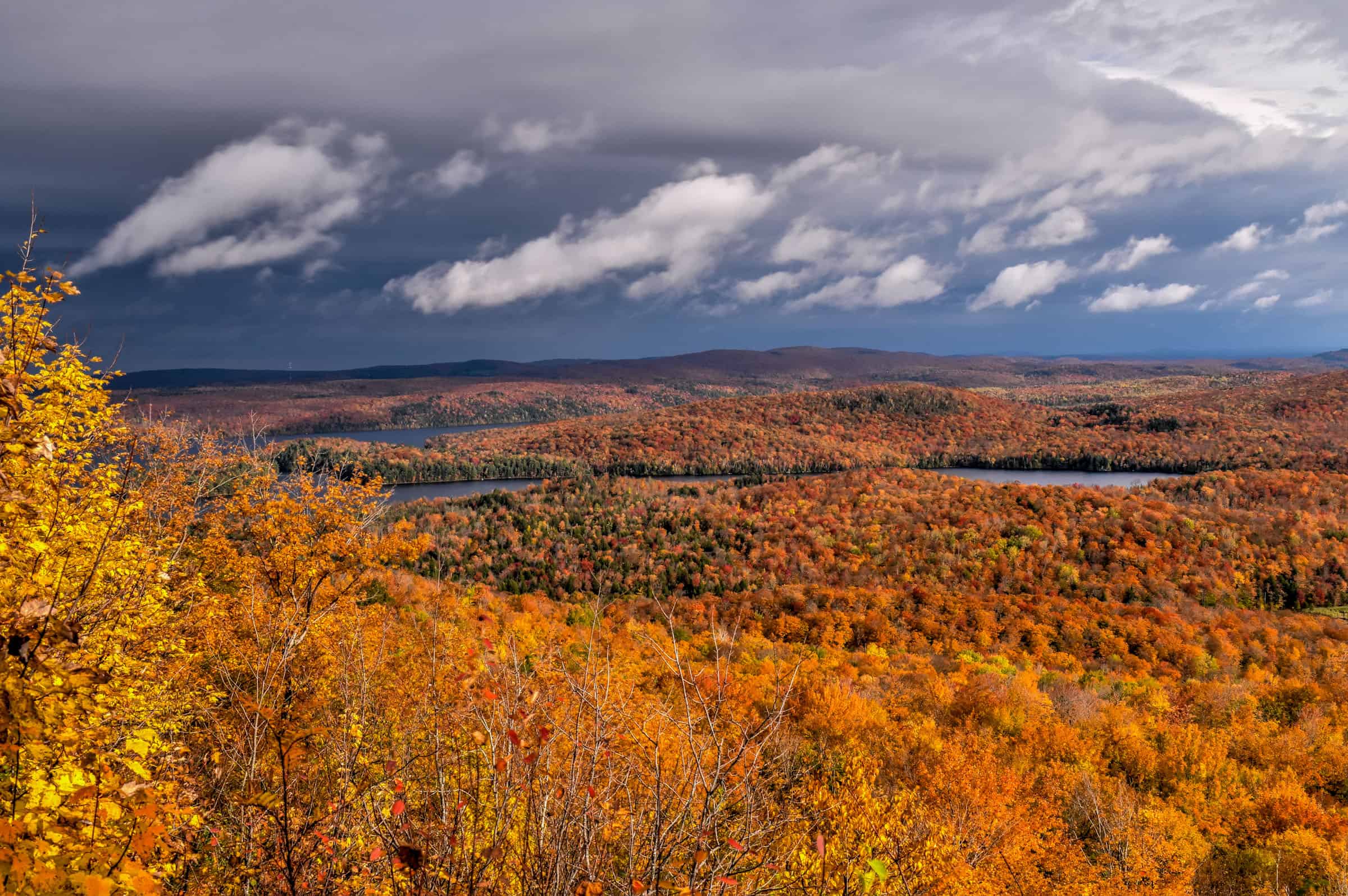
For a shorter trail that shares the same parking lot as the Nez-de-l’Indien Trail, the Montagne Verte Loop Trail still delivers fantastic panoramic views of Lac Tremblant and the impressive mountains that surround it.


Distance: 3.1 km
Route Type: Loop
Elevation gain: 170 m (cumulative elevation gain: 180 m)
Start point: Car Park
AllTrails rating: (4.6, 1739 ratings (2024))
Duration: Most people complete the trail in about 1h-1h15
Access Fees: Free
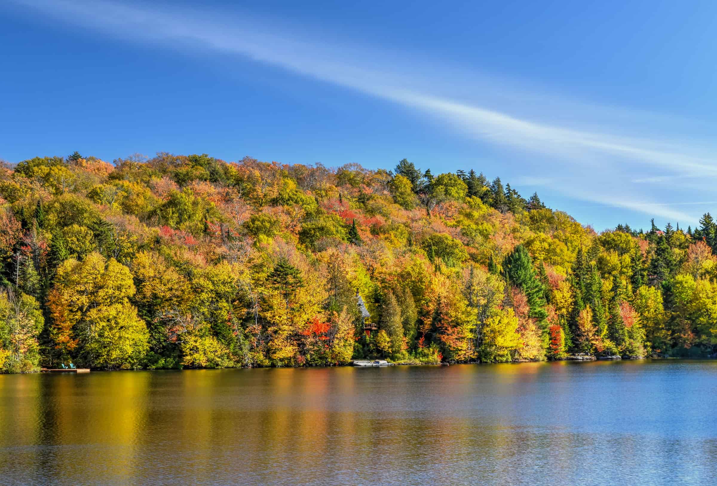
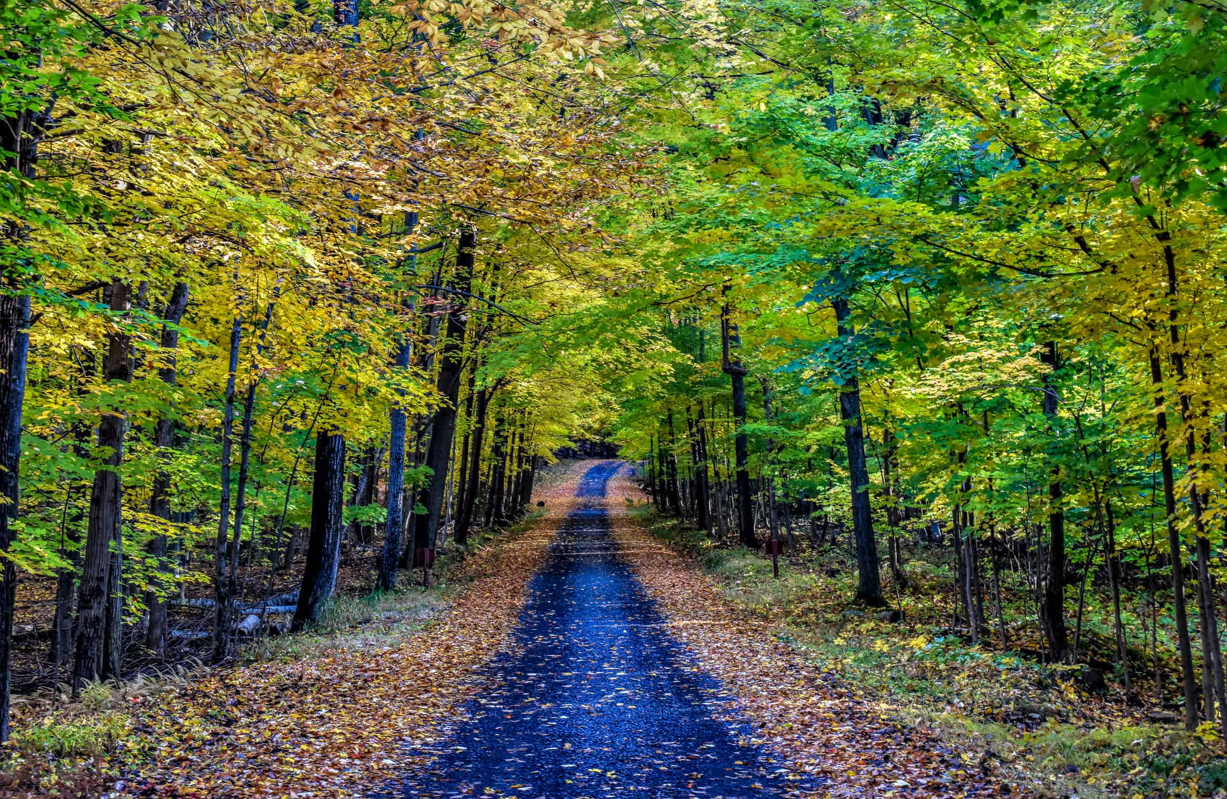
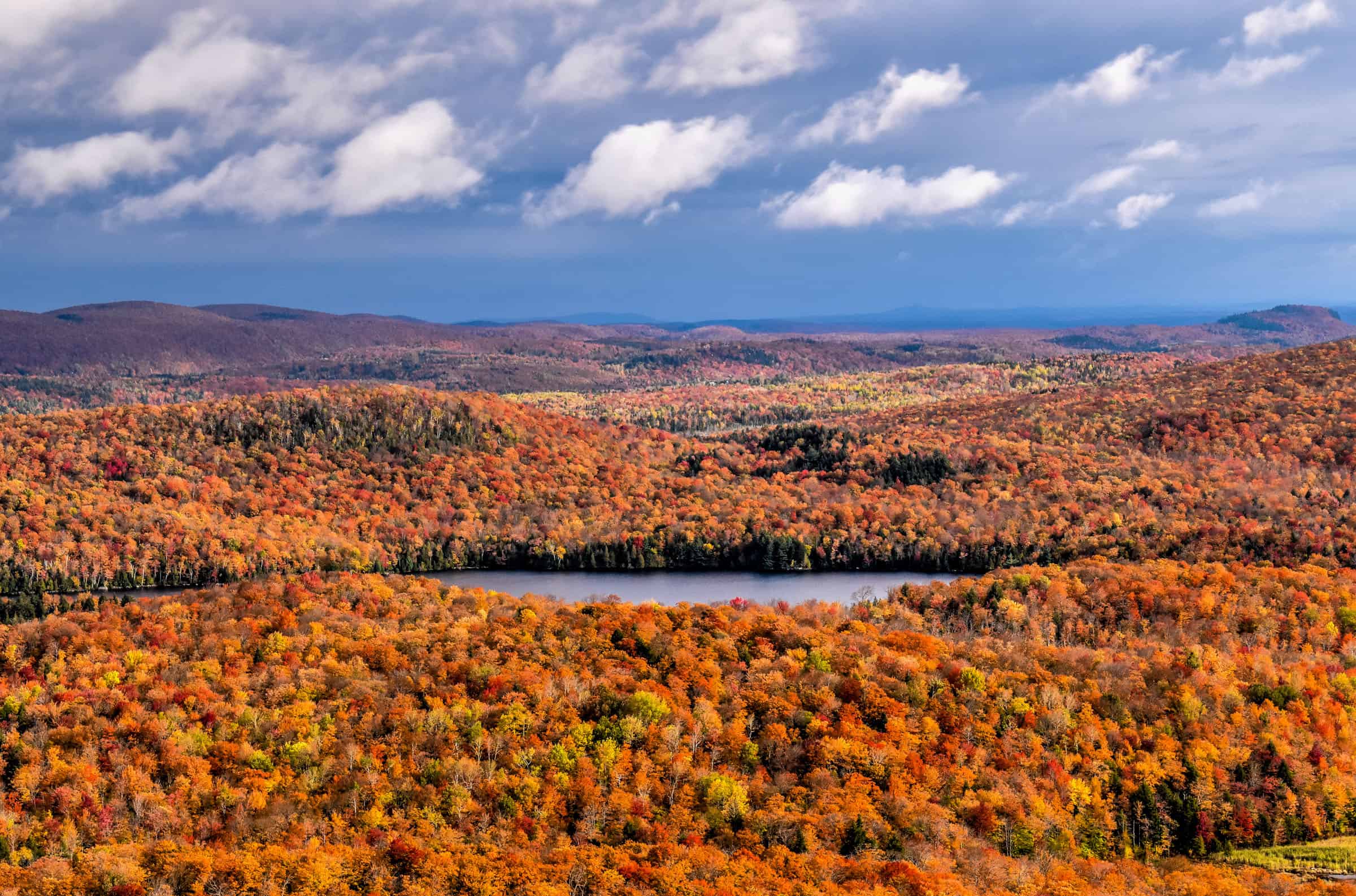
Finally, for a ridiculously beautiful trail that is very easy and flat, head to the Lac Mercier Trail. This trail consists of a pretty walk around Lac Mercier, on part of the multi-purpose trail known as the Petit Train du Nord, a long 234 km trail that traverses the Laurentians.


Distance: 7.4 km
Route Type: Out & Back
Elevation gain: 15 m (cumulative elevation gain: 50 m)
Start point: Car Park
AllTrails rating: (4.5, 190 ratings (2024))
Duration: Most people complete the trail in about 1h30-1h45.
Access Fees: Free
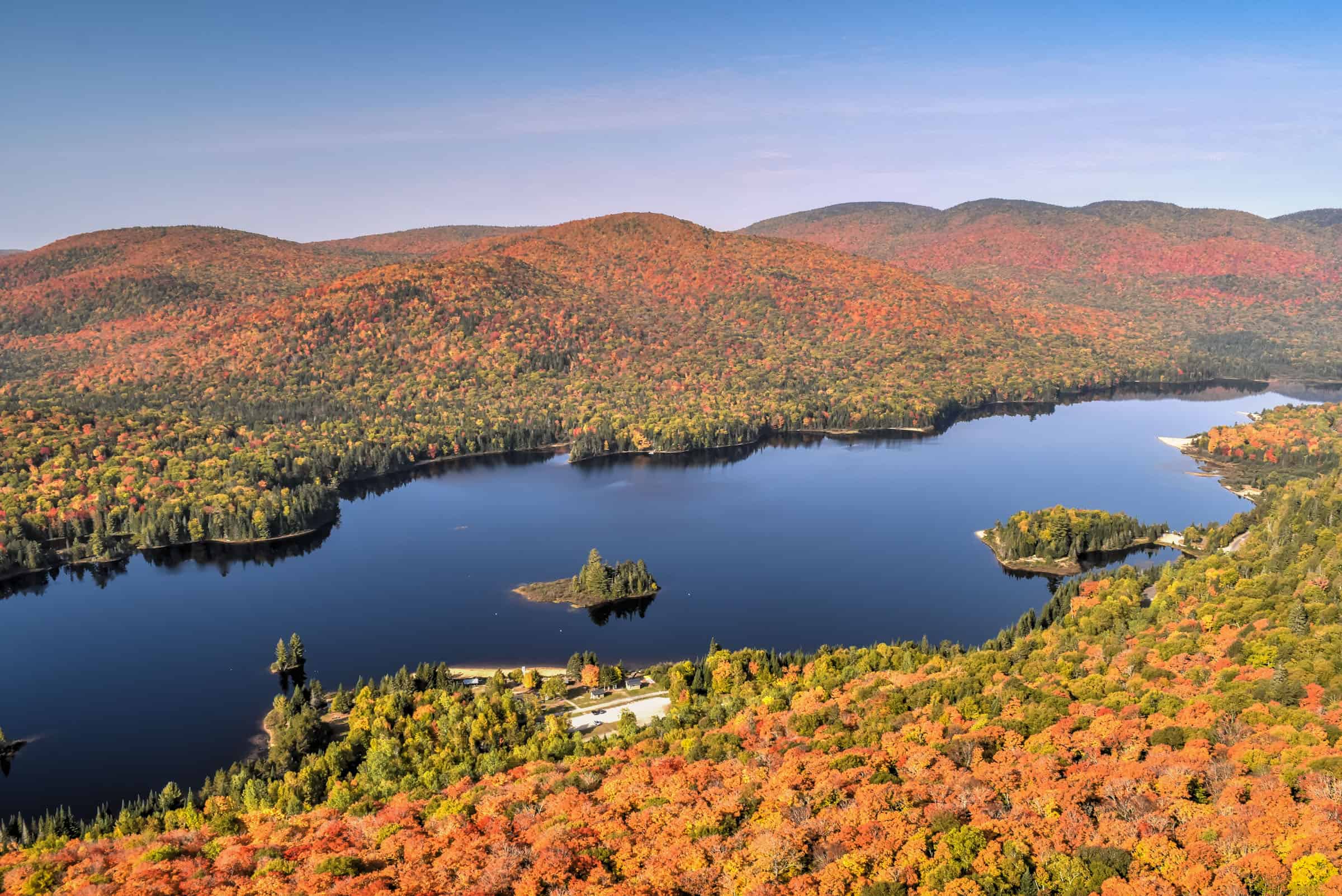
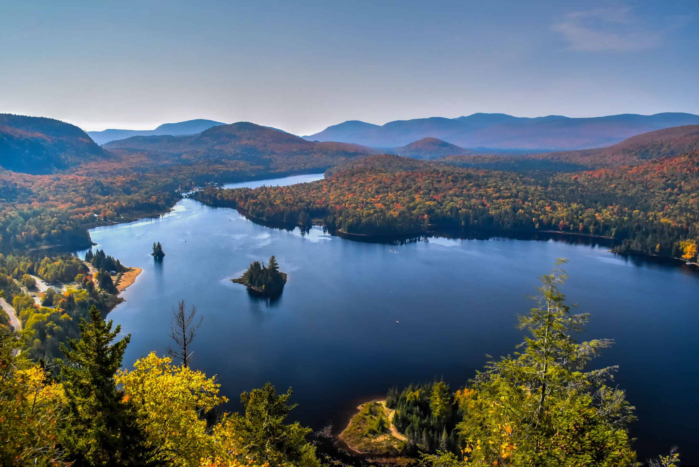
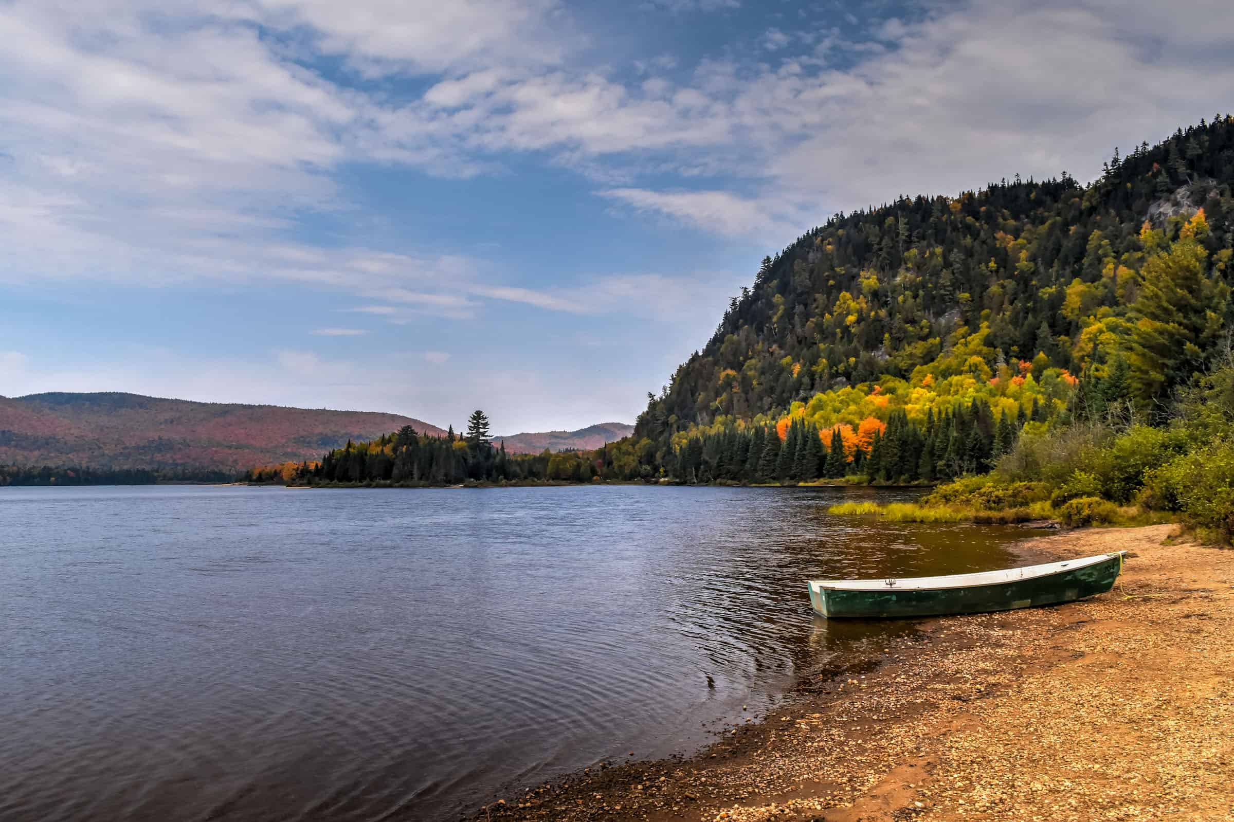
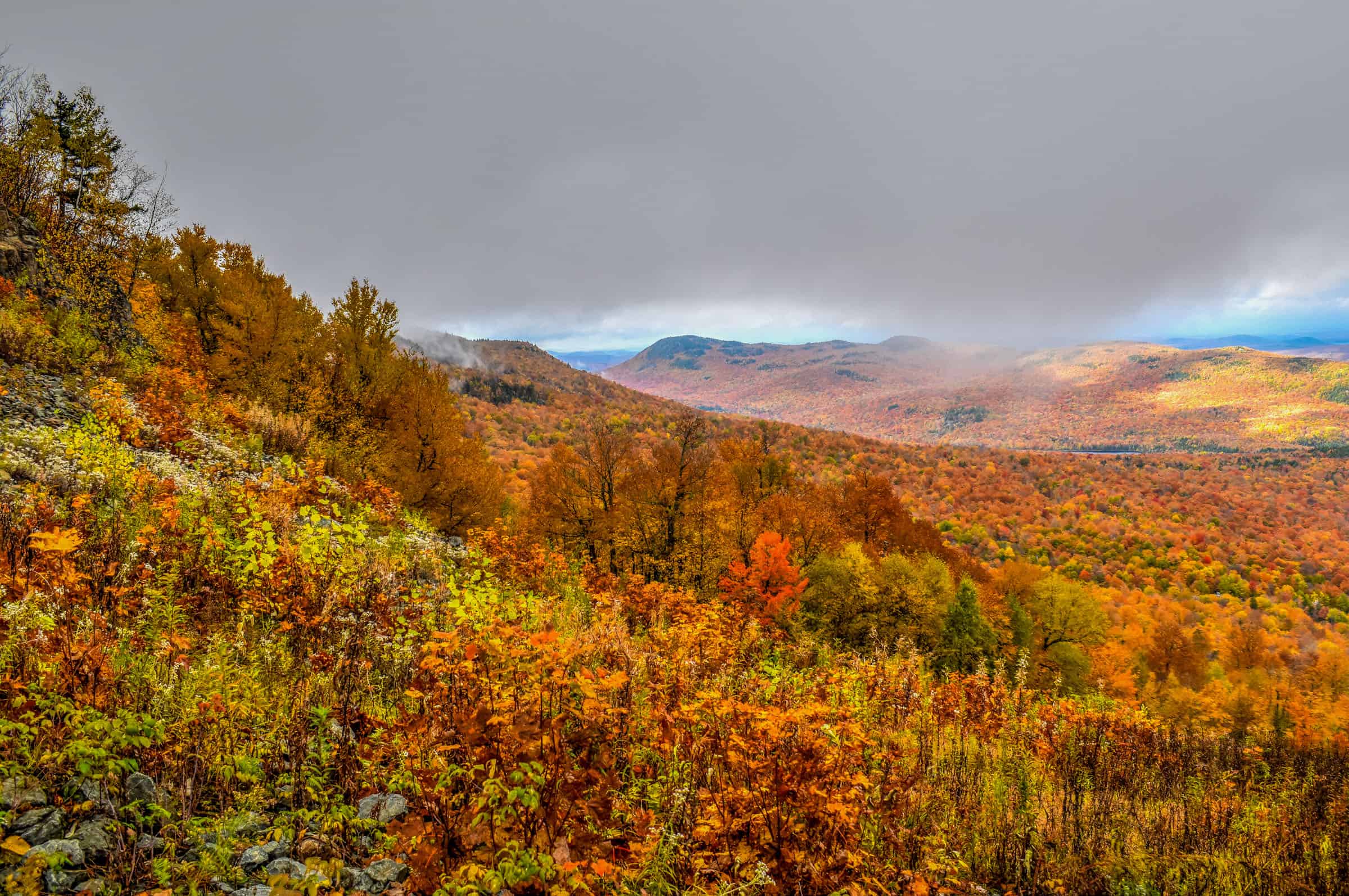
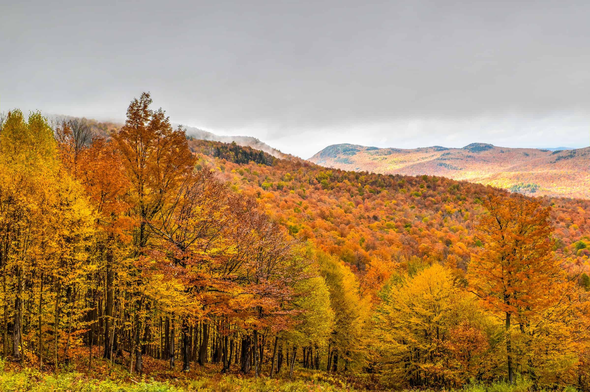
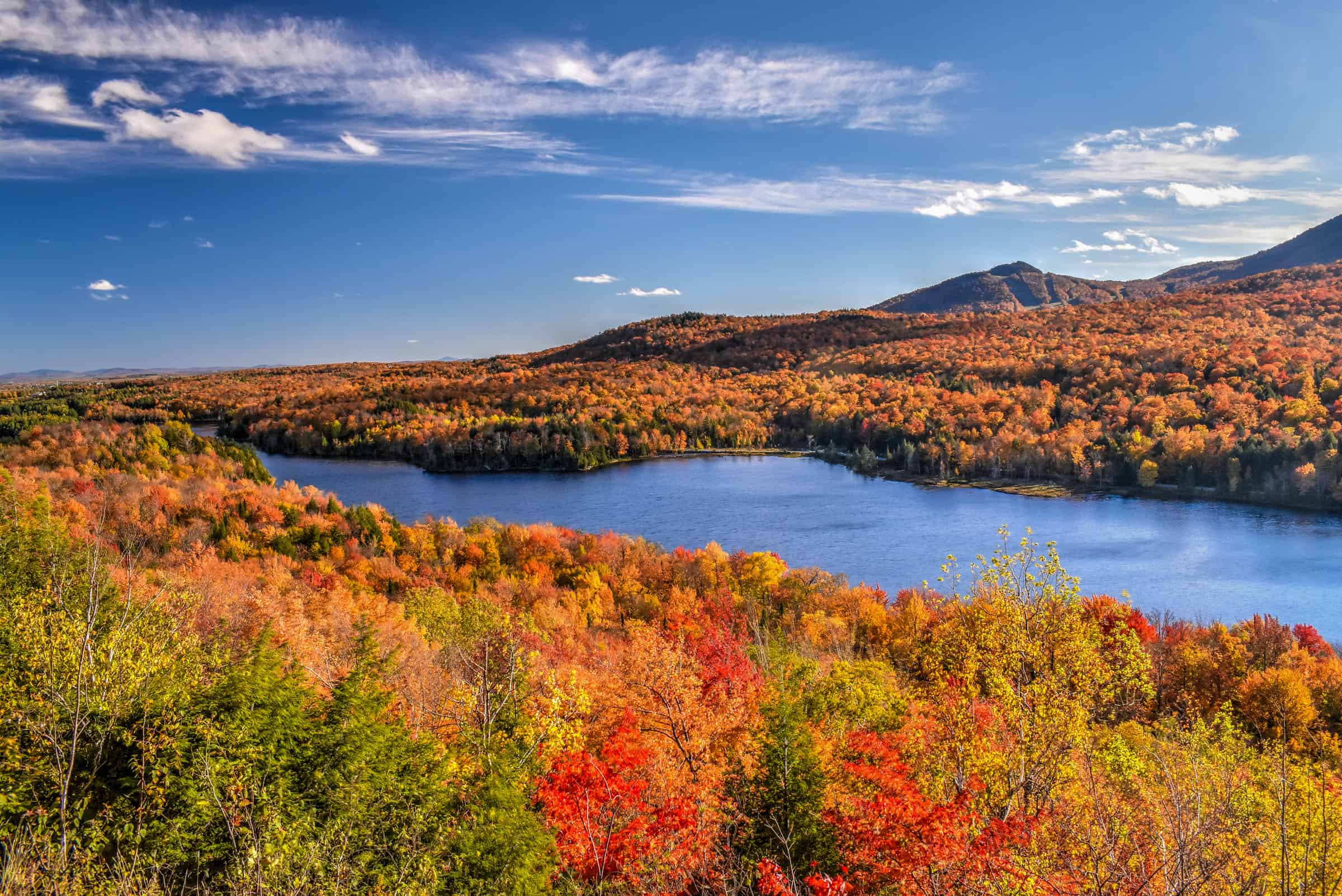
Mont-Tremblant National Park
2h – 2h15 from Montreal – Taking its name from the nearby Mont Tremblant, this park is Quebec’s oldest national park (created in 1895, and is Canada’s third oldest protected park) and the fourth-largest park in the province. The park is spread over three different park sectors (Le Diable sector, Pimbina-Saint-Donat sector, and L’Assomption sector). The closest sector to Mont-Tremblant is the Diable sector, whose entrance is about a 25-minute drive from Mont-Tremblant mountain and resort. We will focus on this region of the park here.
The Diable Sector’s Visitor Center is located on the beautiful banks of Lake Monroe (Lac-Monroe Visitors Centre). The visitor center is a great place to start your exploration of the park, as the lakeside views are spectacular, and the trailheads to two of our favorite hiking trails are just across the main road.


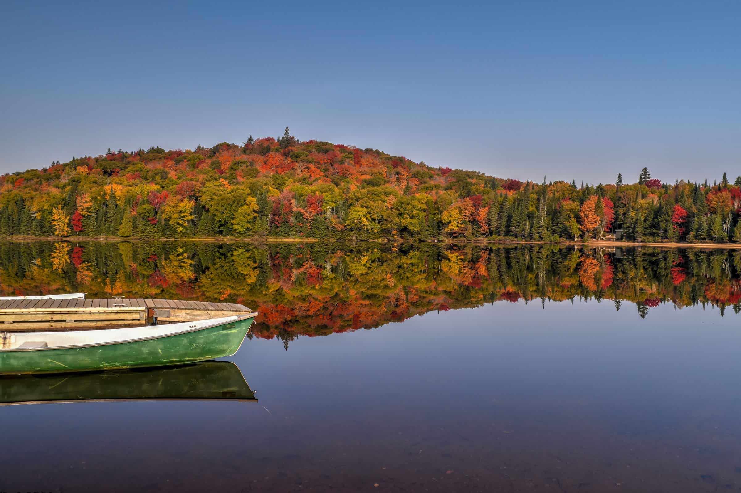
There are several fantastic trails in the park, some that take you up mountains and others that take you to scenic waterfalls.


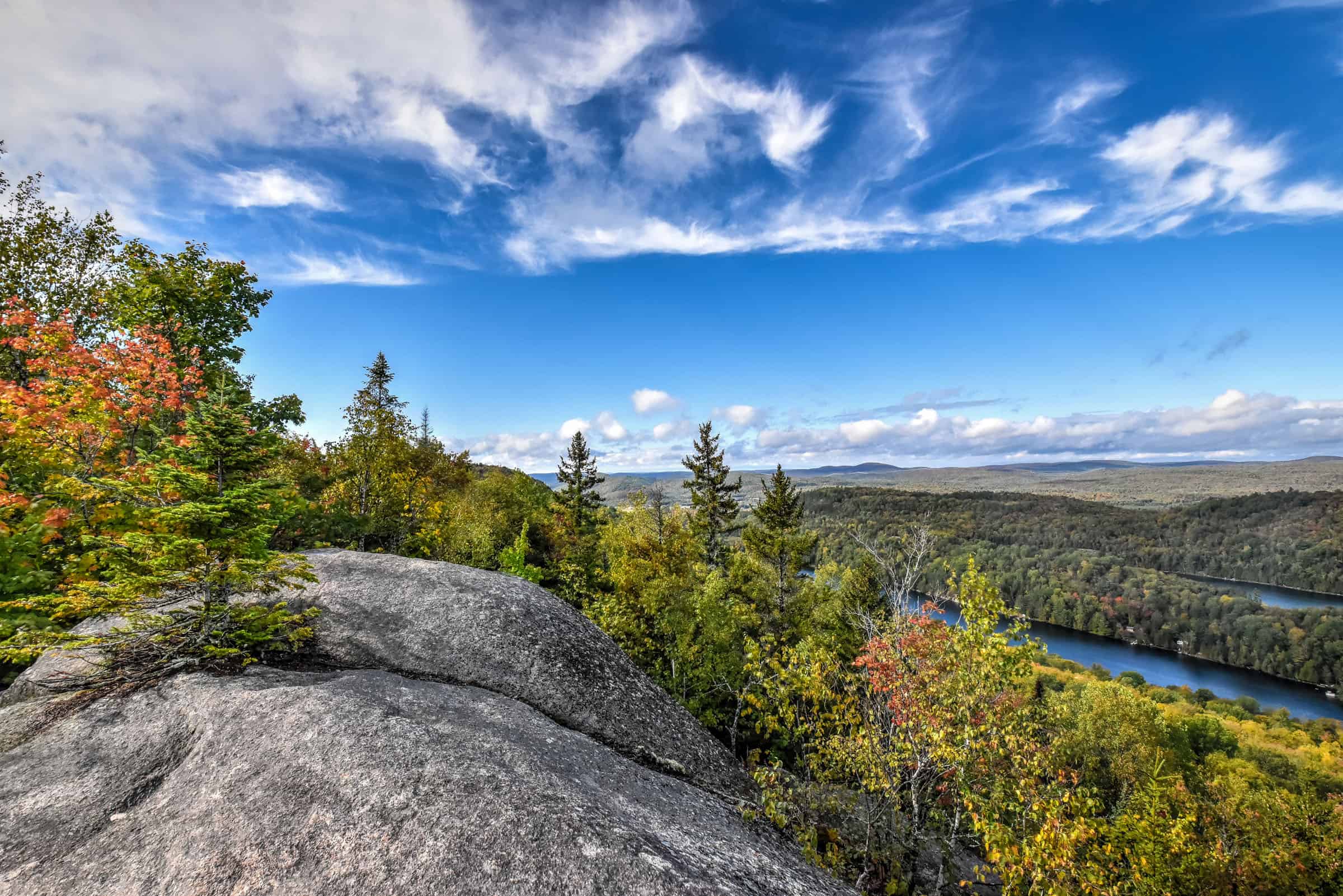
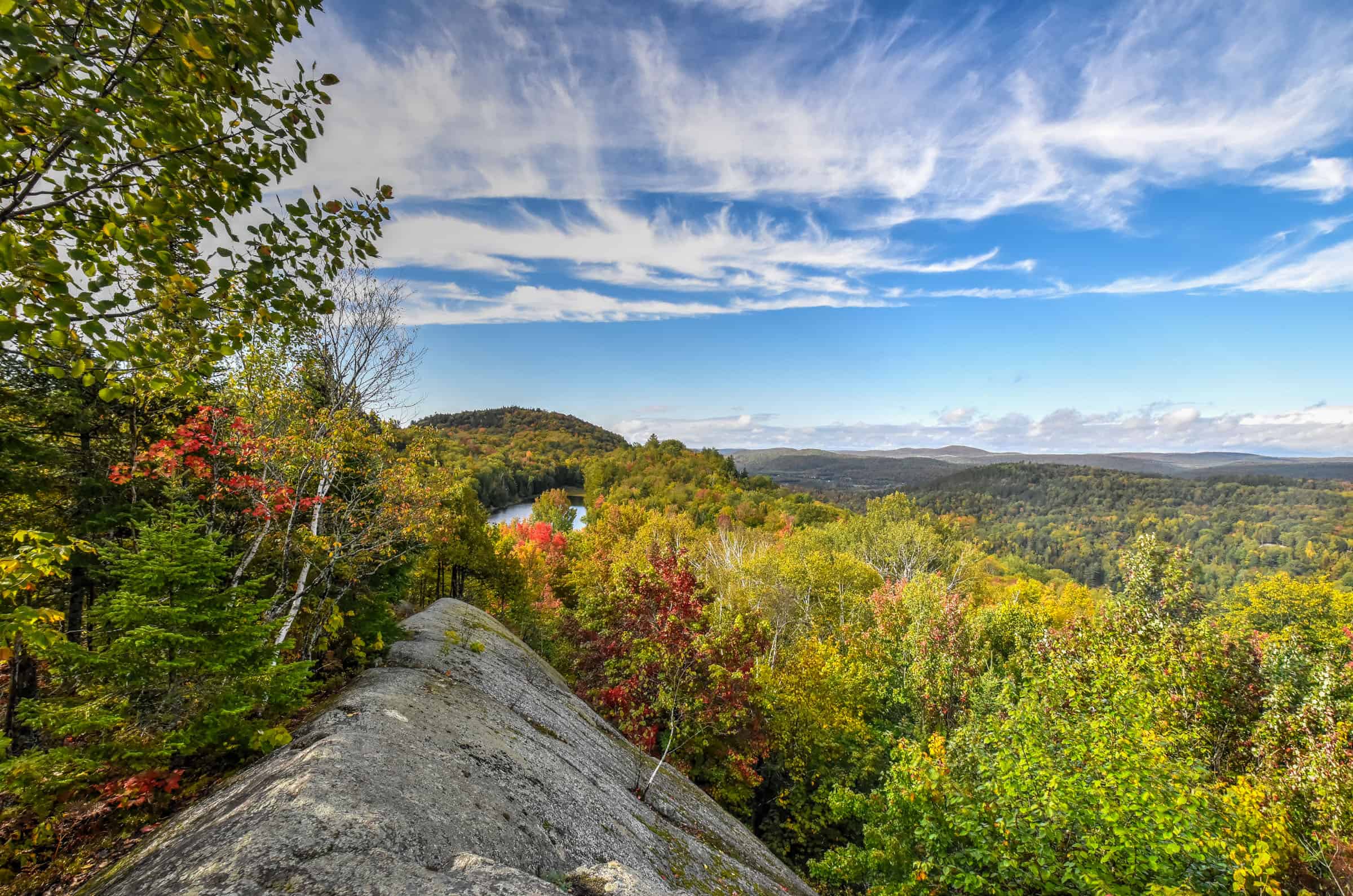
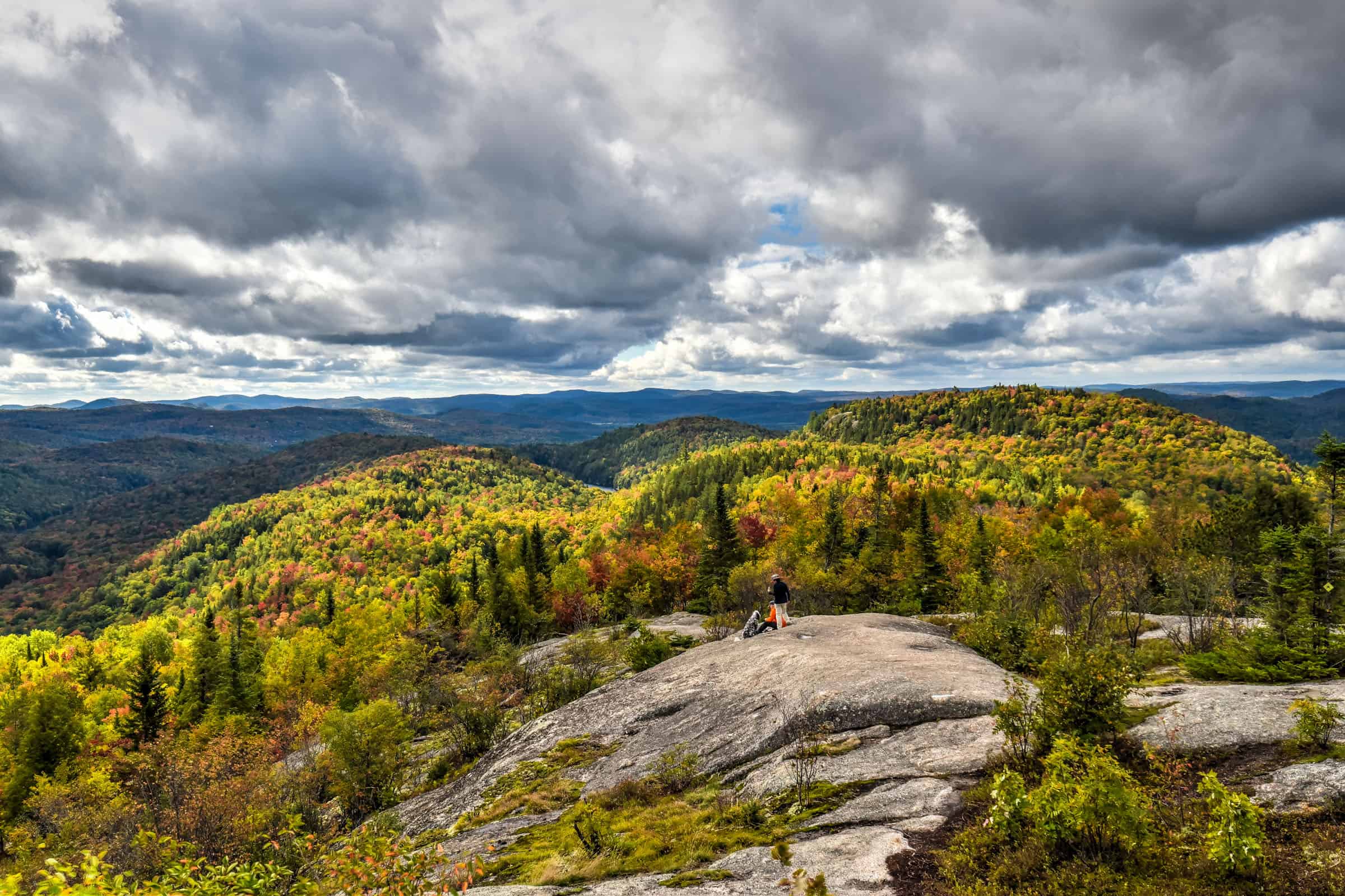
Our favourite trail is La Coulée Trail, and beautiful loop trail that takes you up to two belvederes with stunning views of the Laurentian mountains and ends with a lovely lakeside path.


Distance: 8.4 km
Route Type: Out & Back with Partial Loop
Elevation gain: 310 m (cumulative elevation gain: 385 m)
Start point: Car Park (alternatively, you can park at the visitor center across the road)
AllTrails rating: (4.5, 601 ratings (2024))
Duration: Most people complete the trail in about 2h30-3h
Access Fees: SEPAQ daily rate
For more great hiking trails in the Mont-Tremblant National Park, be sure to check out our guide on the Best Hiking and Walking Trails near Mont-Tremblant.
St-Donat-de-Montcalm
2h from Montreal – east of Montreal and south of Mont-Tremblant National Park lies the scenic area of St-Donat-de-Montcalm, filled with lakes and mountains all around.


One of our favorite trails to do in the area is the Mont Sourire and Petit Carcan Trail. You hit a beautiful viewpoint early on before undertaking a scenic loop around a lake.
Distance: 8.0 km
Route Type: Out & Back with Partial Loop
Elevation gain: 205 m (cumulative elevation gain: 359 m)
Start point: Car Park
AllTrails rating: (4.4, 1415 ratings (2024))
Duration: Most people complete the trail in about 2h15-2h45
Access Fees: SEPAQ daily rate
Hiking Packing List
All Trails subscription – This comes in really handy for areas with little or no cell reception, as the annual subscription allows you to download trail maps for offline use.
External Battery – If you are using your phone to track your progress along the trail or to help with navigation, you certainly don’t want your phone to die on you. That’s especially true in the unlikely event that you might get hurt or need assistance.
Hiking poles – These can be particularly useful in steep trails or muddy/boggy trail conditions.
Water Filter Bottle – The Life Straw bottle is an advanced water bottle with a filter that not only improves water taste but more importantly filters out bacteria and parasites, chemicals and microplastics.
Headlamp – very practical and a smart choice if you plan to start your hike before sunrise or finish it after sunset.
Best Parks and Trails East of Montreal (Montérégie & Eastern Townships)
Saint-Bruno National Park
30 minutes from Montreal – This park is perfect for almost everybody because it’s so close to the city and offers easy and (mostly) flat walking trails to enjoy the scenery. There are several trails to choose from, most of which offer beautiful lakeside vantage points. Our favourite trail within the park to fully experience the fall colours is the Les Lacs Trail. It is both the longest trail in the park (though not very difficult) and the only trail in the park that allows you the opportunity to see all of the five park lakes (Lac Seigneural, Lac du Moulin, Lac des Atocas, Lac à la Tortue, and Lac des Bouleaux).


This trail spends most of its time under tall forest cover while circumnavigating the park around its five lakes. Special decks have been built over three of the lakes (the three largest) allowing you to get up close and enjoy panoramic views of the lakeside scenery.
Most of the elevation gain is tackled early on the trail, allowing you to relax while you enjoy the lake views during the rest of the trails.


Distance: 8.9 km
Route Type: Loop
Elevation gain: 90 m (cumulative elevation gain: 126 m)
Start point: Car Park / Discovery Center
AllTrails rating: (4.5, 1987 ratings (2024))
Duration: Most people complete the trail in about 2 hours.
Access Fees: SEPAQ daily rate
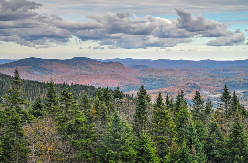
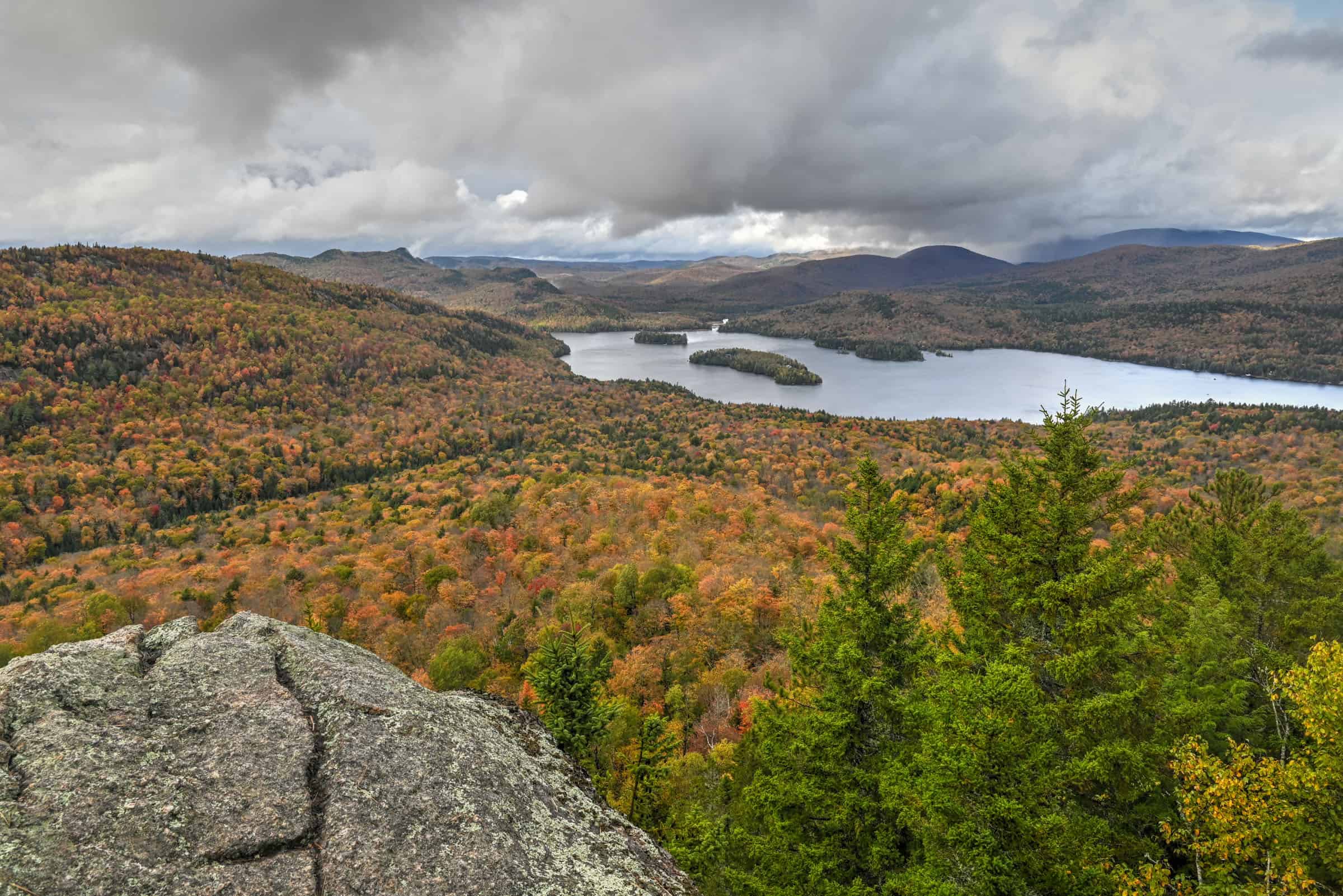
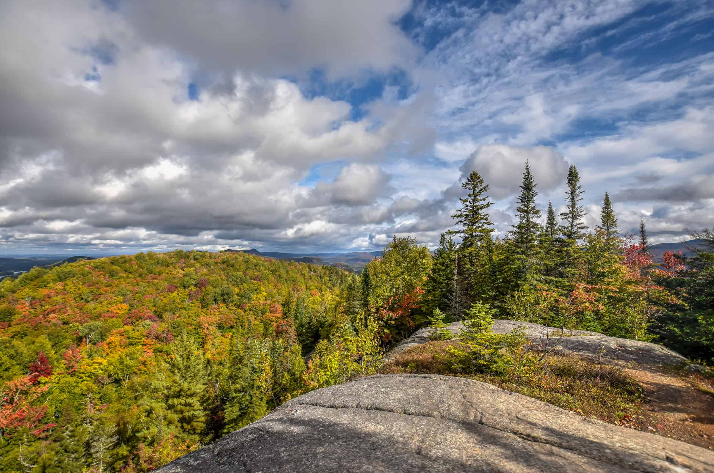
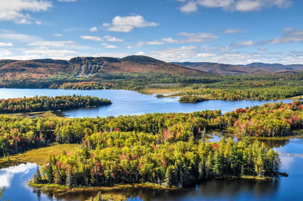
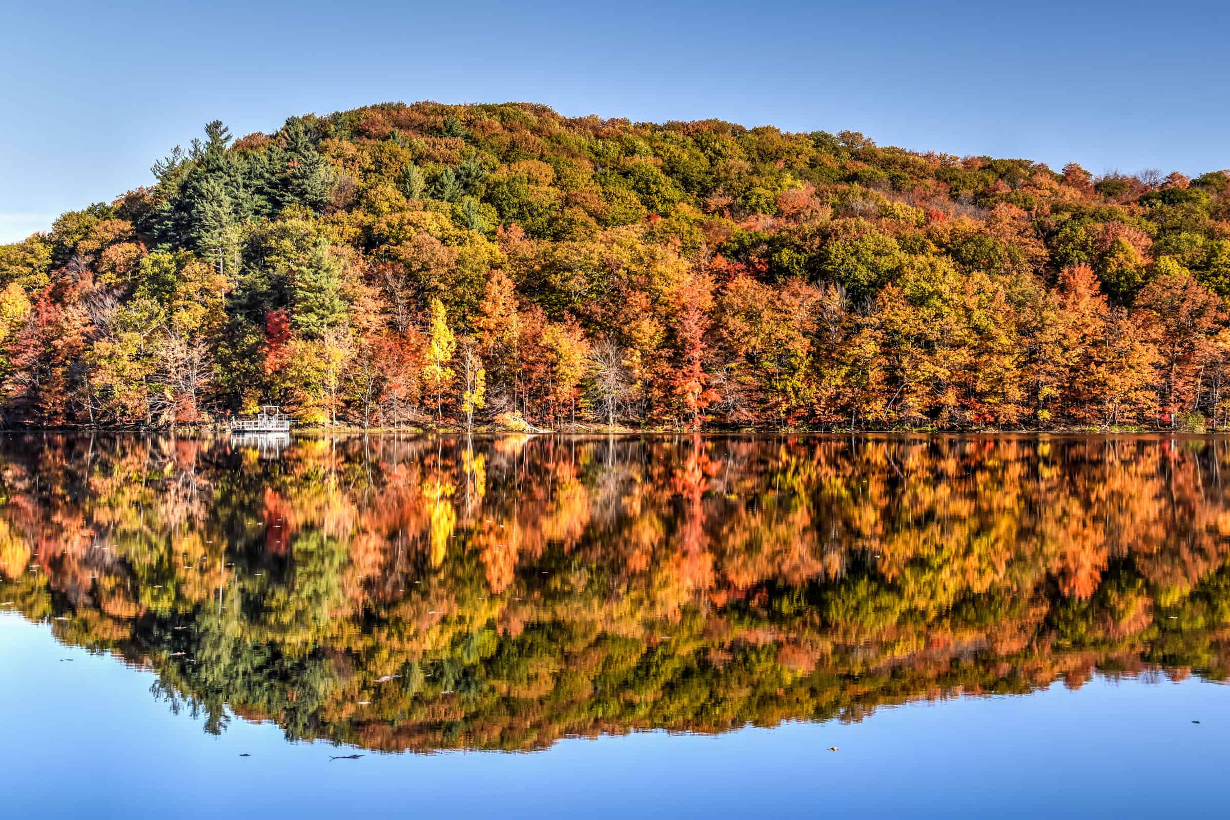
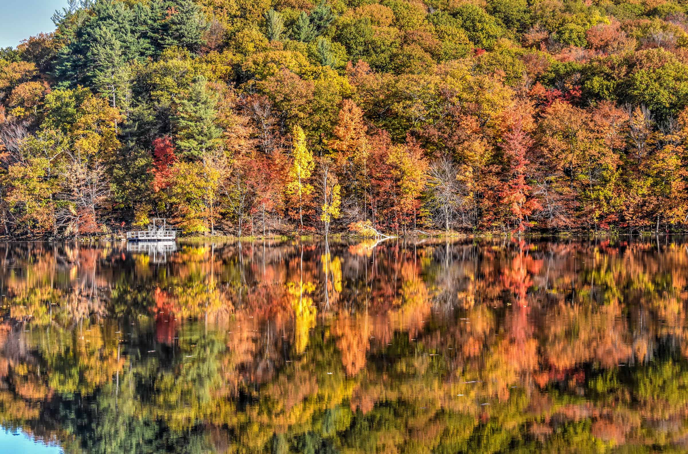
Mont Orford & Mont-Orford National Park
90 minutes from Montreal – The hiking trails in the region are primarily divided into two areas: the Mont Orford Ski Resort and the Mont Orford National Park. While the Mont Orford National Park has a nice mix of easy, moderate and more difficult trails, those of the Mont Orford Ski Resort are all at least of moderate difficulty and are quite honestly less fun as you are essentially hiking up Ski slopes. That being, come autumn you can use the gondola to reach the Mont Orford summit (the gondola is closed during the summer), where you will find 5 spacious wooden belvederes spread around the large summit that provide panoramic views of the surrounding landscape. During Mont Orford’s Festival of Colours (La Flambée des Couleurs), which typically runs from mid-September until mid-October, you can pre-book your spot on the Gondola.


Mont-Orford National Park has several great trails to choose from. One of our favorites is L’Escalier du Nord Trail, a moderately challenging trail that takes you to the Pic the l’Ours (mountain peak).


Distance: 12.7 km
Route Type: Out & Back
Elevation gain: 450m (cumulative elevation gain: 624 m)
Start point: La Bonnallie Car Park and Visitor Center
AllTrails rating: (4.6, 917 ratings (2024))
Duration: Most people complete the trail in about 3h30-4h
Access Fees: SEPAQ daily rate
A great easier trail with no less beautiful views is the Pékan trail. It’s a beautiful lakeside trail that follows a path that gently goes up and down several times as you loop around the Étang aux Cerises pond (a pond that honestly feels more like a lake, to be honest), with several viewpoints along the way.


Distance: 8.5 km
Route Type: Loop
Elevation gain: 60m (cumulative elevation gain: 215 m)
Start point: Cerisier Car Park and Visitor Center
AllTrails rating: (4.2, 615 ratings (2024))
Duration: Most people complete the trail in about 2h-2h30
Access Fees: SEPAQ daily rate
For more information on visiting this park and additional trail ideas, check out our guide on the Best Hiking Trails Near Mont Orford.
Want to Discover More Hiking Trails Around Montreal?
You might be interested in these pages:
Best National Parks for Hiking Near Montreal
Best Hiking Trails in the Near Mont Tremblant
Best Hiking Trails in the Eastern Townships
Photography Gear
If you like our photography, you might be interested in some of the gear we use to shoot our travel and hiking destinations.
Camera Body – Nikon Z 6ii Fx-series Mirrorless Body
Main Lens – NIKON 24-120mm F/4G ED VR AF-S
Zoom Lens – Sigma 745-306 150-600mm f/5-6.3
Polarizing filters – Urth Circular Polarizing (CPL)
Camera Tripod – K&F Concept 64-inch Camera Tripod
Mini-tripod – Lammcou Flexible Camera Tripod
Camera/hiking backpack – Vanguard Alta Rise 48 Backpack
Universal Travel Adapter – VYLEE Universal International Power Travel Plug
Other Travel Essentials
Travel Insurance
SafetyWing is a travel insurance company that offers comprehensive coverage for travellers. Includes Medical Insurance and Travel Insurance. Primarily geared towards long-term travellers, digital nomads, and expats.
e-Sim cards
Airalo is the world’s first and largest eSIM store with eSIM plans for 200+ countries and regions worldwide. With Airalo eSIMs, travellers can get connected the moment they land at their destination and avoid nasty data roaming charges
eSIMS are a sustainable alternative to single-use SIM cards – they are 100% digital, require less energy to produce and be re-used rather than disposed of.
Car Rentals
Discover Cars is our go-to website for car rentals. We almost always find our preferred rate there.
Transfer from Airport
Welcome Pickups is our favourite private transfer service, which you can pre-book at a fixed price. Currently available in 220 cities all over the world (mostly in Europe, but with several major cities in Asia, the Middle East and the US).
Kiwitaxi is another private transfer service – we haven’t tried it yet, but it’s currently available in a few more countries (102 as of 2024).
Hotels and Accommodations (coming soon)
Photography Prints
If you found this blog useful, you can help support our blog by purchasing low-cost digital prints. Printed physical prints are also available for purchase.


—–
Well, that wraps it up! We hope you enjoyed our Best Parks and Trails To See The Fall Foliage And Autumn Colours Near Montreal and that it will prove useful for planning your hiking trip.
—–
You might also be interested in these related pages: