Mont Mégantic National Park – Best Trails and Hiking Guide
February 21, 2024
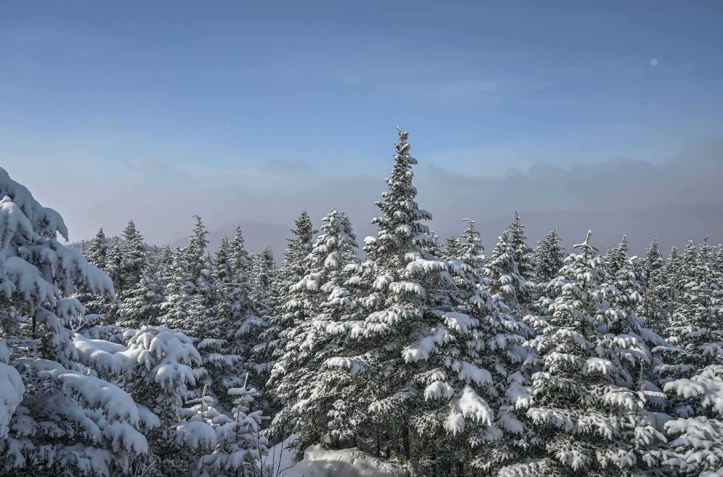
Mont Megantic National Park in southeastern Quebec is a special place for outdoor enthusiasts. It’s fairly remote, has beautiful mountain scenery in all seasons (particularly in winter in our opinion), is part of the first international dark sky reserve, and is home to the Mont Mégantic Astronomical Observatory. When visiting the park, there are several fantastic trails to choose from, including one that takes you right next to the observatory. This is definitely one of our favorite areas in Québec to enjoy winter hiking trails. To help you get the most out of your time when visiting the park, we put together this guide on Mont Mégantic National Park – Best Trails and Hiking Guide, focusing on those that we believe best maximize the effort-to-reward ratio.
Table of Contents — Mont Mégantic National Park – Best Trails and Hiking Guide
Disclosure: This page (Mont Mégantic National Park – Best Trails and Hiking Guide) may contain product affiliate links. At no additional cost to you, we may receive a commission for purchases made through these links. More details can be found on our disclosure and policies page.
Mont Mégantic National Park is a provincial park in Quebec (Canada), created in 1994. It is one of the more remote National Parks in Québec, located near the southeastern corner of the province very close to the northwestern border of Maine (USA). The park is also part of what became the first international dark sky reserve in 2007 International Dark-Sky Association, making it the perfect place to do some star gazing after a great day of hiking.
Several peaks are accessible by hiking trails, including Mont-Mégantic, which is Quebec’s tenth-highest peak. In total, the park has more than 50km of hiking trails, with a range of easy, moderate and difficult hikes. In addition, there are also over 13km of cross-country ski trails and 16km of backcountry skiing in the national park.
Mont Mégantic National Park Access Fees
Daily access fees and Annual passes Quebec National Parks are managed by the SÉPAQ, a government agency that manages all provincial parks and wildlife preserves in Québec. There is a limit to the number of visitors that can enter any Québec SÉPAQ National Park on any given day. It is therefore strongly recommended that you purchase your daily right of access online before a visit or that you acquire an annual pass. The daily pass ($9.85 (2024)) can be purchased here up to 30 days before a visit. The annual pass can be purchased here either for unlimited access to a single national park ($49.25 (2024)) or for unlimited access to all SÉPAQ national parks ($88.50 (2024)). Even if you have an annual pass, we still recommend arriving early in the morning or mid-to-late afternoon to avoid showing up to a filled parking lot.
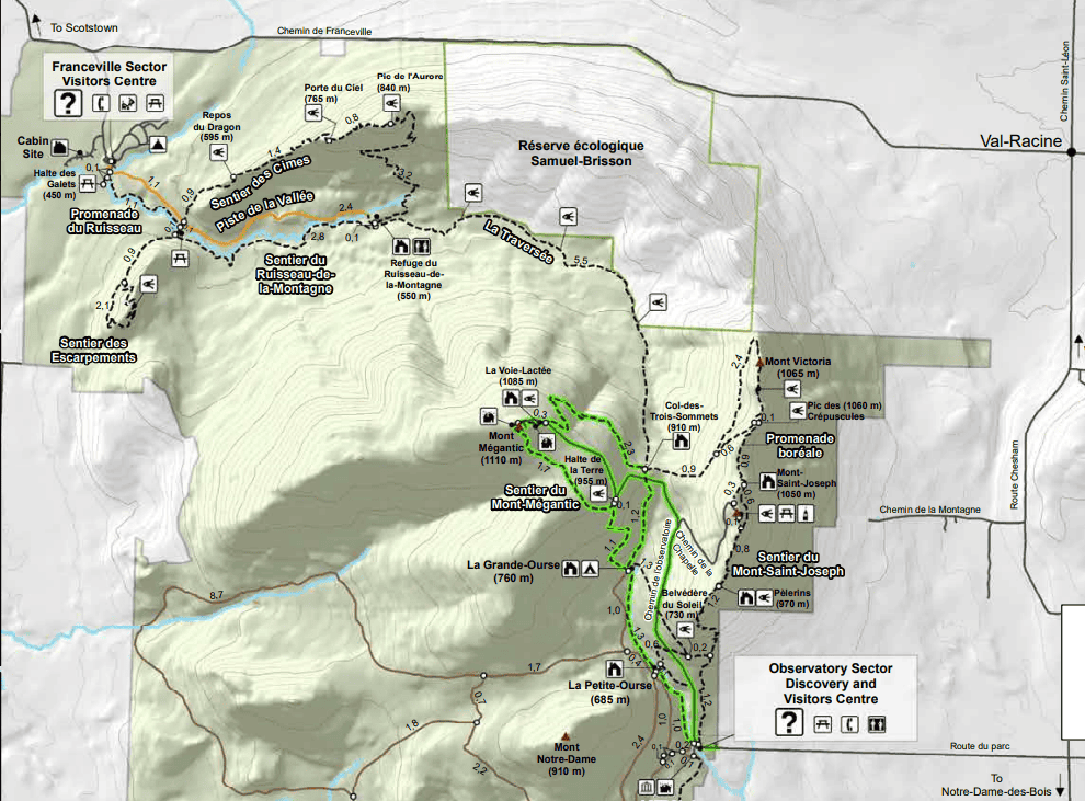
Mont Mégantic National Park Sectors
The Mont Mégantic National Park is divided into two sections, each with its own entrances, visitor center and parking lots. In part due to the park’s remoteness, we’ve found that the parking lots rarely fill up here in winter.
The Franceville Sector is located in the northeast corner of the park and contains the park’s easiest hikes and the mountain summits lie at lower elevations than the other sector.
The Observatory Sector is located in the southeast corner of the park and contains the park’s most difficult hikes, including the trail that will take you up to the observatory.
Source: SEPAQ
The best and quickest way to go from one sector to another is by driving. Both entrances are separated by about 25 km, which takes about 25 minutes to drive.
Although there is a backcountry trail that connects both sectors, this trail isn’t as well maintained or frequented as each sector’s main trails. And if you don’t want to backtrack between sectors, it’s best to have two vehicles (one parked in each sector).
Mont Mégantic National Park Winter Opening Hours
The Observatory sector’s visitor center is open daily from 9 am-4 pm (with slightly longer hours during the Christmas holidays and for March Break), whereas the Franceville sector’s visitor center is open daily from 10 am-5 pm (with slightly longer hours during the Christmas holidays and for March Break). However, you are free to start your hike before or finish your hike after those hours. The only restriction we are aware of concerns the immediate area surrounding the Observatory, which must be vacated between sunset and sunrise. For up-to-date hours please visit the park’s official website.
Dogs aren’t allowed on any of the trails in winter, and only on the Mont Mégantic trail during summer.
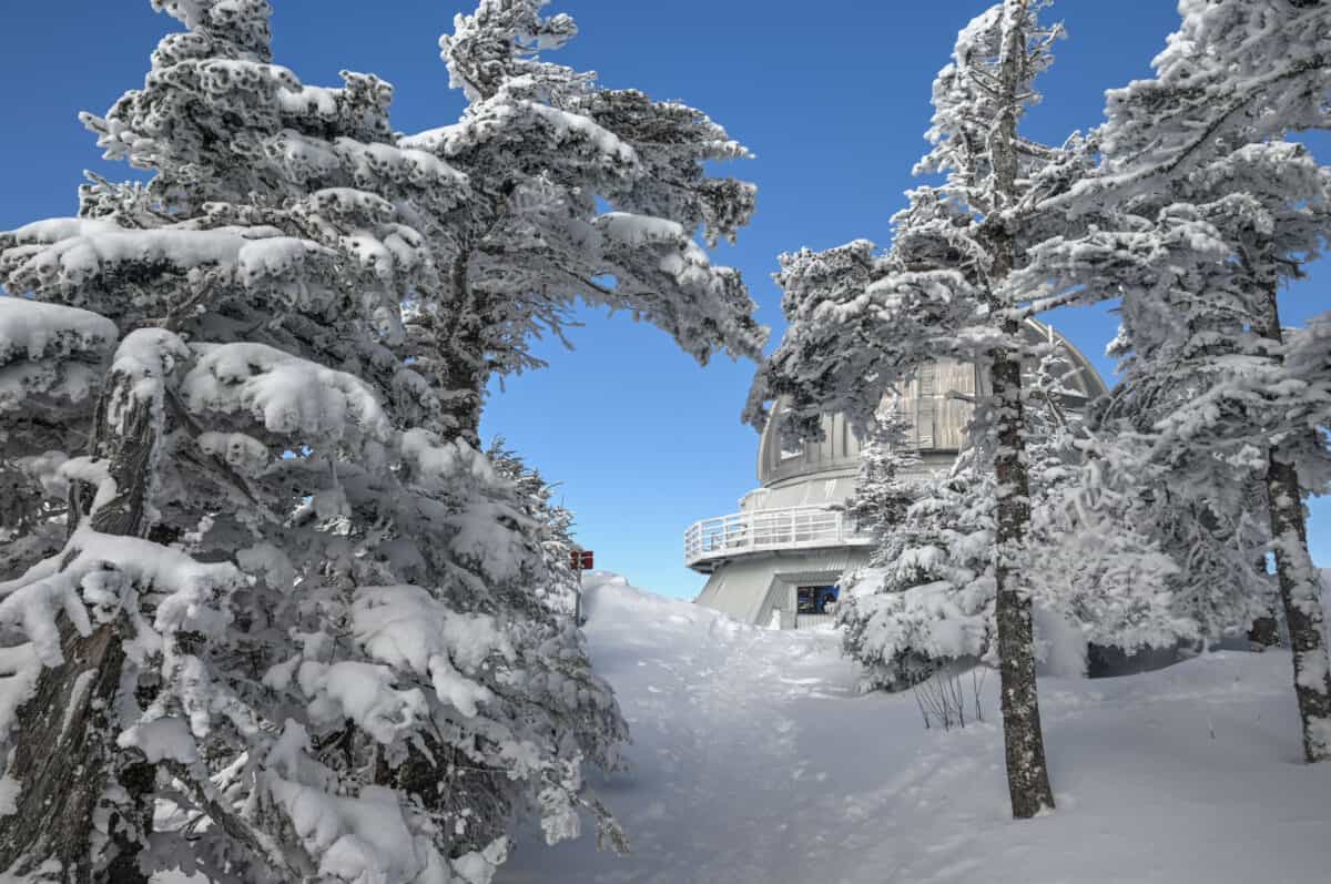
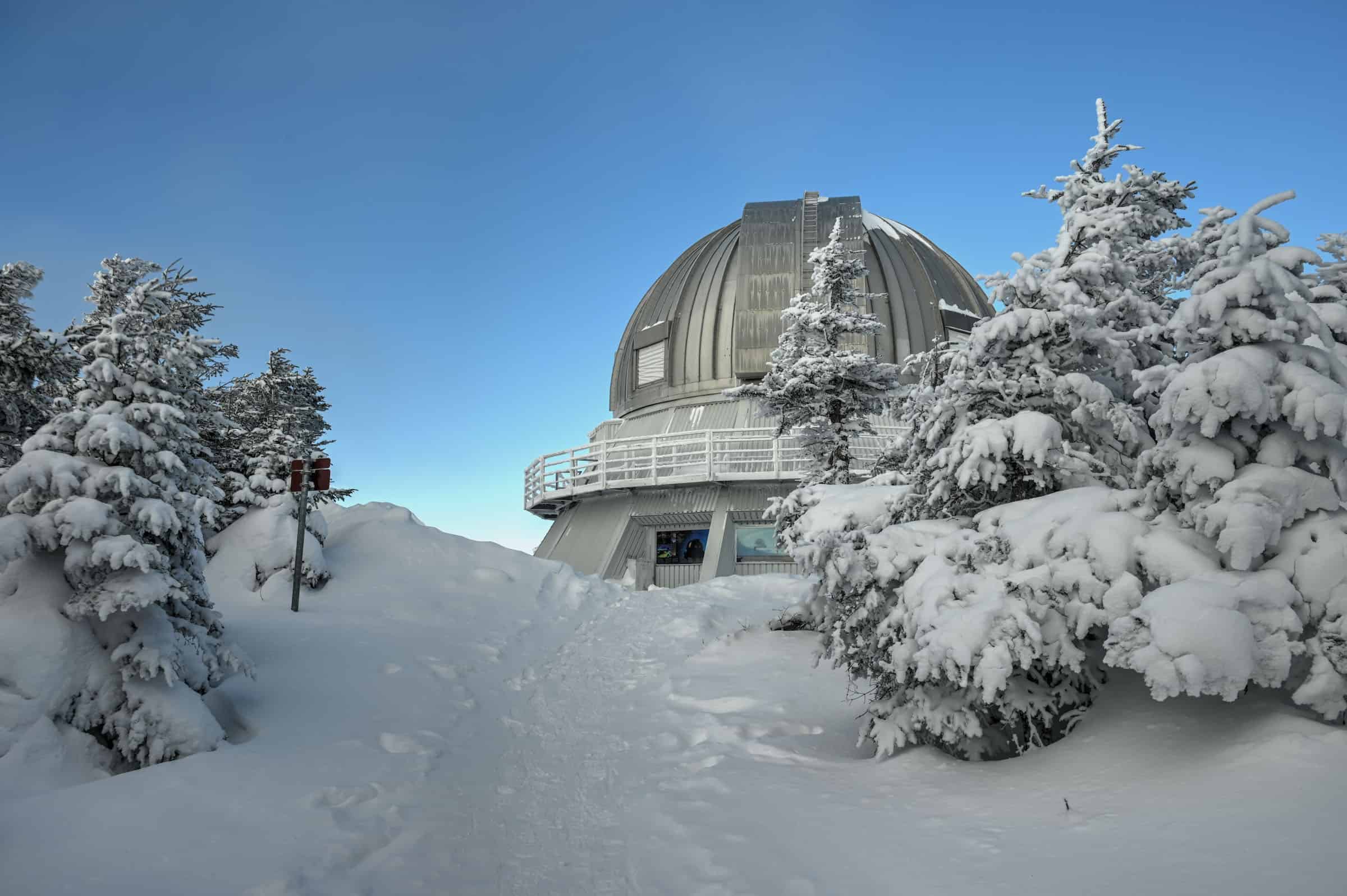
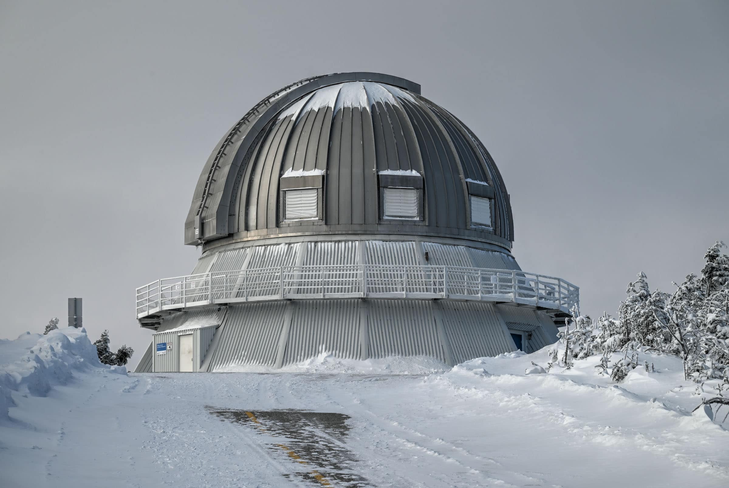
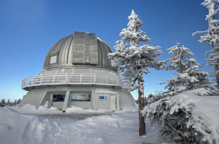
The Mont Mégantic Observatory
Opened in 1978, The Mont-Mégantic Observatory houses the largest telescope in eastern North America, and the fourth largest in Canada. Although not the biggest, the state-of-the-art instruments attached to the Mont-Mégantic telescope make it the most powerful telescope in Canada. Though you can drive up to the observatory in summer, in winter the only way to reach it is via the Mont Mégantic Hiking Trail (described below).
In 1996, the Mont-Mégantic ASTROLab, an astronomy activity centre, opened its doors to the general public. Located near the start point (and end point) of several trails in the eastern part of the National Park, the ASTROlab is open daily during the winter where visitors can learn from interactive displays, with special multimedia presentations taking place on Saturday evenings, that includes high-definition astronomical footage presented on a large movie-theater-like screen.
Attending a multimedia evening presentation costs $22.50 (2024) and tickets can be purchased ahead of time online. For each available Saturday evening, you can choose between two different time slots for the presentation, either 5:30-8 pm or 8:30-11 pm. If the sky is clear, part of the evening is spent stargazing outside through specialized telescopes. You can also partake in an optional and free short walk along a trail illuminated by torchlight.
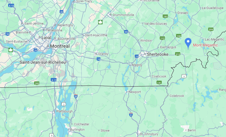
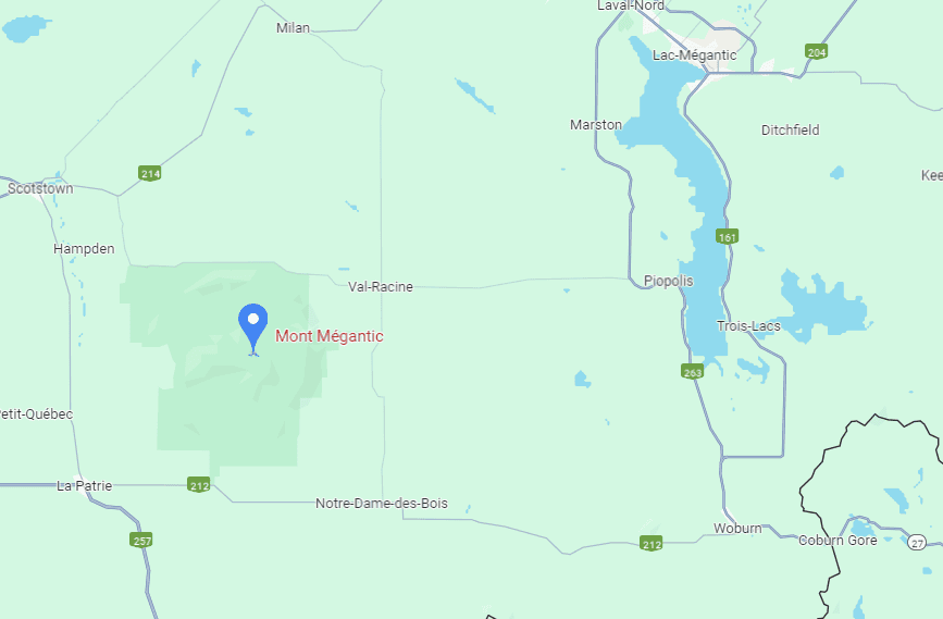
Mont Mégantic National Park Location and Map
The Mont Mégantic National Park is located in the eastern townships of Québec, close to the New Hampshire and Maine state borders (link to Google Maps).
How to Get to Mont Mégantic National Park
Due to the park’s remoteness, the best way to reach the park is with your own vehicle. For simplicity, we will highlight the times and distances to reach the Observatory sector of the National Park.
All roads are paved, except a 10km portion of the road that connects both park sectors (along the northern edge of the park). The two visitor centers are roughly 25 min drive from one another. They are actually much closer to one another than that, but you have to drive out of the park and then around it to reach the other sector.
From Montreal: about a 2h45 drive (240 km)
From Sherbrooke: about a 1h15 drive (85 km)
From Québec City: about a 2h45 drive (220 km)
From Burlington (Vermont): about a 3h30 drive (170 miles)
From Augusta (Maine): about a 2h45 drive (130 miles)
If you need to book a rental vehicle for your hiking excursion, we highly recommend using Discover Cars to get the best rates on your rental in Montreal.
We also highly recommend Airalo (eSIM card) for your connectivity needs when travelling abroad. Airalo is the world’s first and largest eSIM store with eSIM plans for 200+ countries and regions worldwide.
Alternatively, you can also reach the park from Montreal by organized transfer via the Navette Nature service, which offers bus trips on various weekend dates. The service rotates between parks, so there might be only one or two trips per park per season.
Best Time to Visit Mont Mégantic National Park
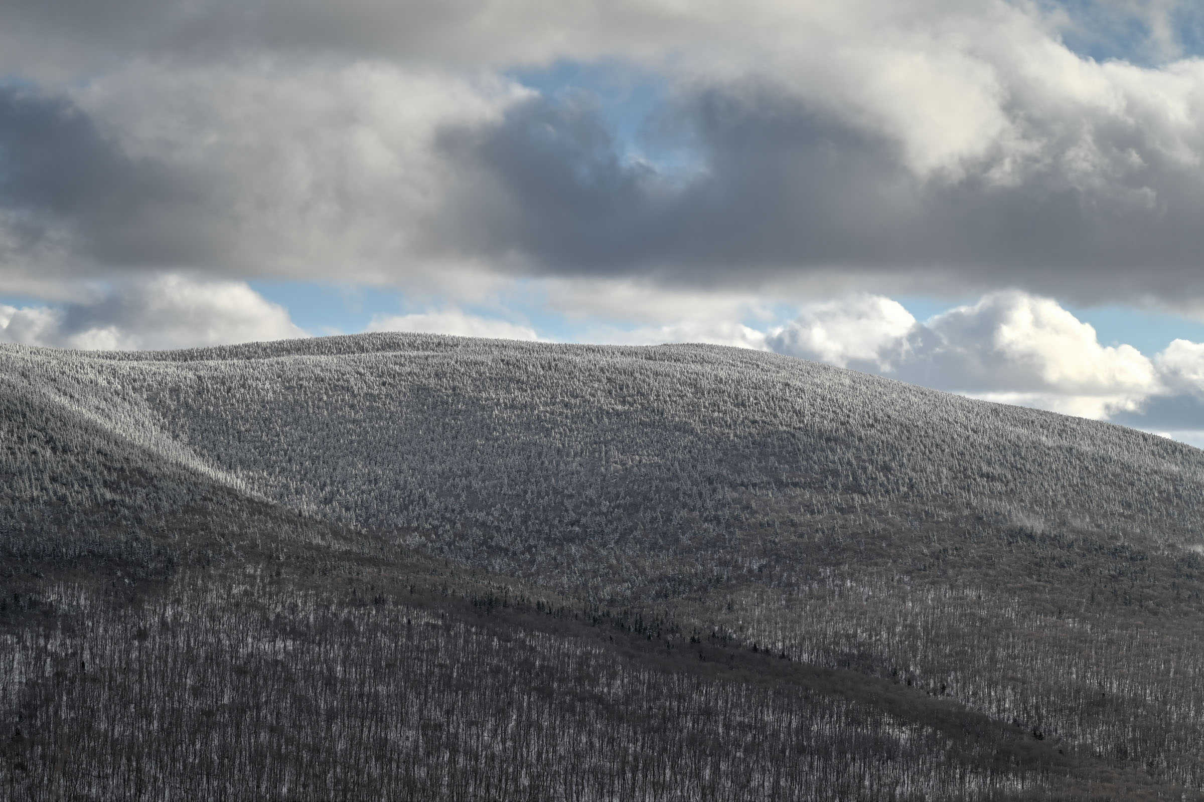
To experience a proper winter hike and beautiful white landscapes, it’s best to plan your visit between mid-December and mid-March. That being said, there are year-to-year differences regarding the early and late winter snow conditions. If you would like to visit early or late in the winter season, it’s best to check the park conditions first. You can generally find them listed at the top of the national park page. The trail may close during the spring season snow-melt period (dates vary from year to year).
Why Hike in Winter? – There are generally fewer people on the hiking trails, allowing for a more peaceful and enjoyable experience. – Compacted snow generally makes the trail easier to walk on and removes the difficulties associated with walking over rocks, boulders and tree roots. – The scenery is very different than in any other season but is no less beautiful.
Winter Hiking and Trail Safety Tips
In the absence of any significant recent snowfall, it is highly recommended to wear crampons/traction cleats under your shoes or boots when hiking most trails in this park, particularly any trail that has significant elevation gain. You can rent traction crampons/ice cleats to attach to your boots for 8$ (2024) at the visitor center (located between the car park and the trailhead). If you plan on needing cleats for more than 2 days, you’re probably better off buying your own.
Winter Hiking Packing List Crampons / Ice Cleats – These are a must-have to help you with those steep ascents/descents or navigate icy trail conditions. External Battery – Cold weather significantly affects cell phone battery drainage. Best to be prepared with an external power source to recharge your phone if needed. Hiking poles – These can be particularly useful in winter, especially when not wearing any crampons or ice cleats. Hand warmers – if you are like us and often remove your gloves to take pictures, having little hotties around care be hand life savers in freezing weather. All Trails subscription – comes in really handy for areas with little or no cell reception, as the annual subscription allows you to download trail maps for offline use.
If there was a lot of recent snowfall, you might want to hike with snowshoes instead of ice cleats to help navigate the soft snow. To help you decide what footwear to bring, the national park details the recent snowfall and trail conditions via the “information of the day” button at the top of the page ( e.g. typically either densely packed snow or fresh powdered snow). The visitor center also rents out snowshoes if need be.
Also, always bear in mind that no matter how cold it is at the base of the mountain, it’s going to be even colder at the summit (and windier), so remember to dress appropriately. It’s generally recommended to wear fewer layers to start since you will warm up after a few minutes of hiking. But it’s a great idea to pack some extra warm gear for when you take a break or reach the summit.
Best Winter Hiking Trails in Mont Mégantic National Park
Mont Mégantic Trail (Observatory Sector)
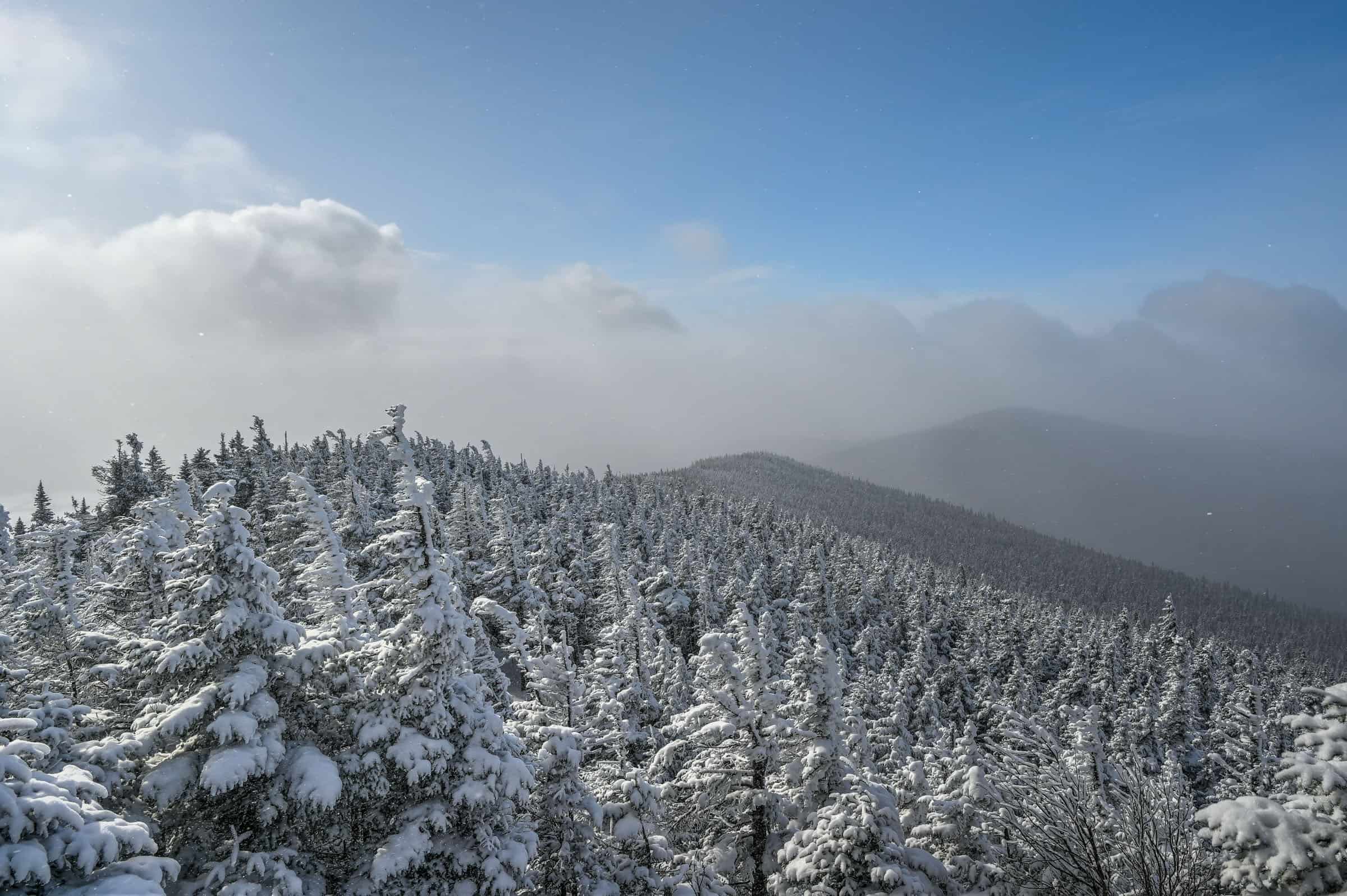
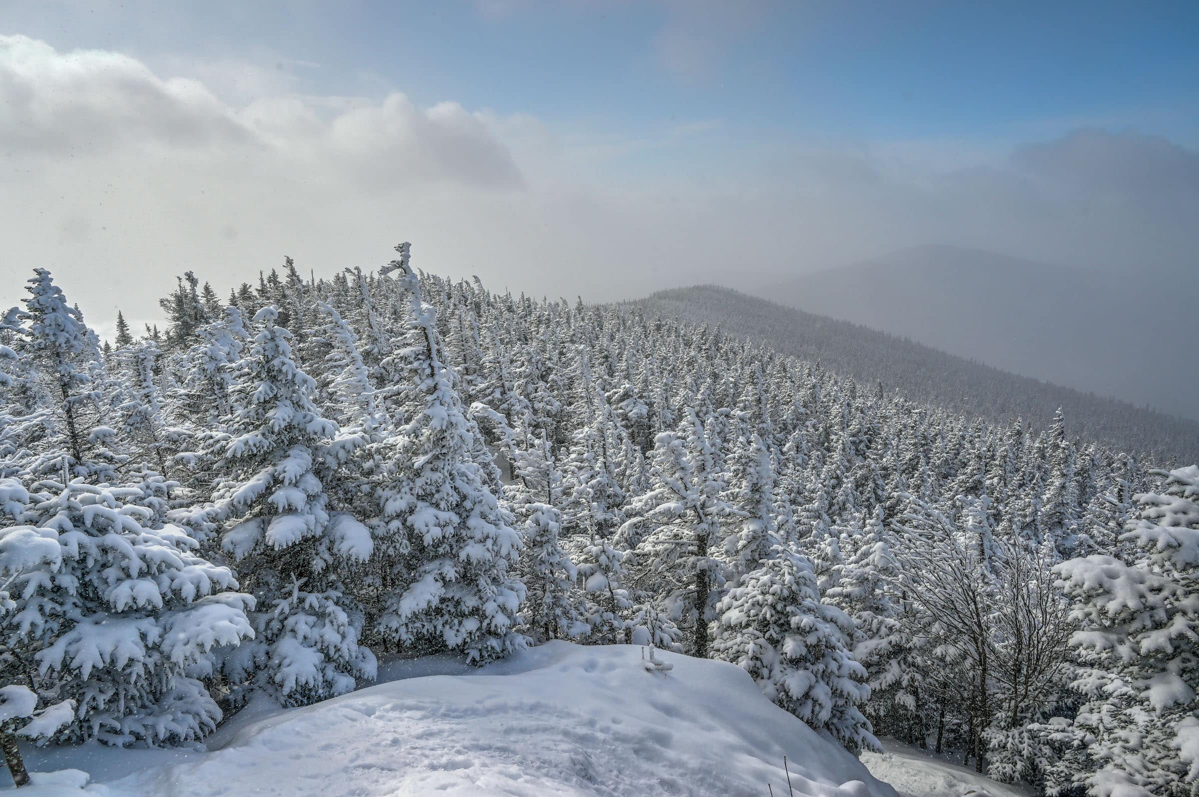
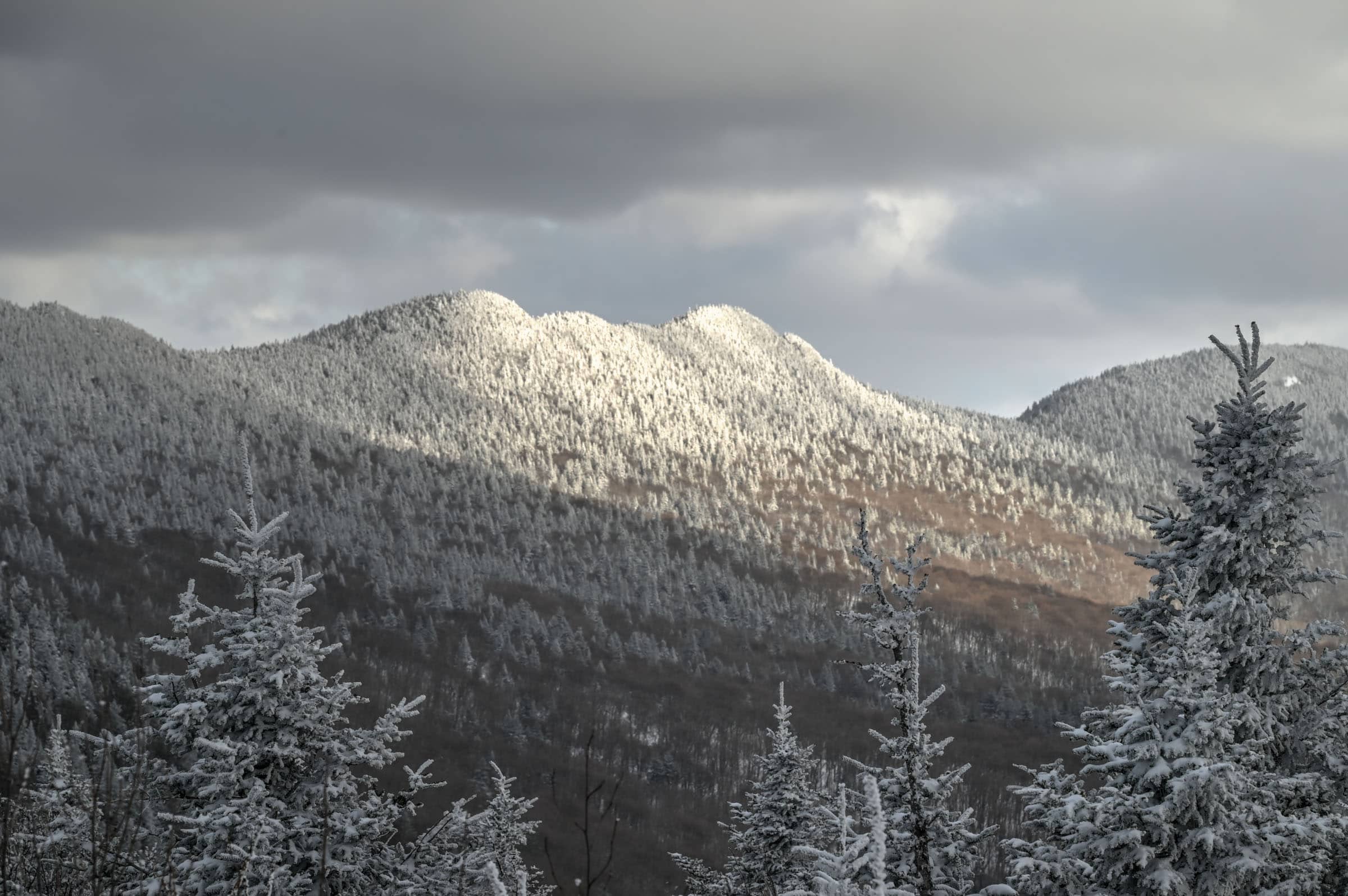
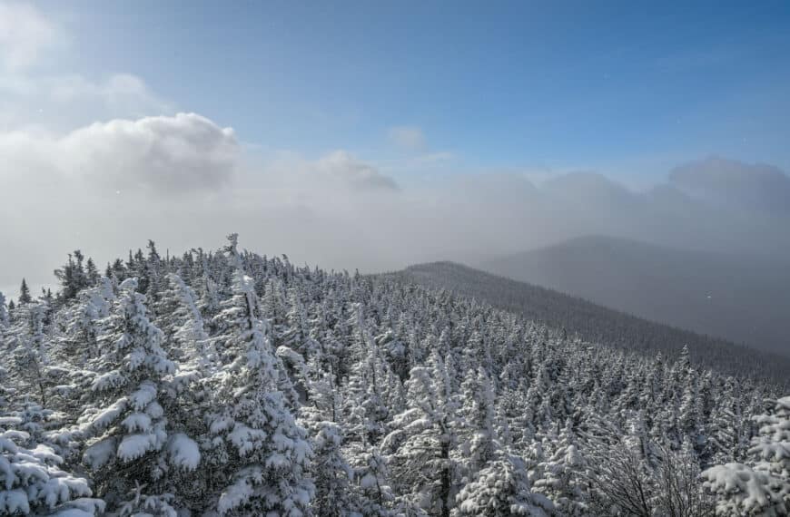
This is our favorite trail in the national park. Although it leads to the park’s highest summit, we didn’t find the climb to be too difficult as the ascent is done fairly gradually throughout the first half of the hike, and, although there aren’t as many official viewpoints as some of the other trails, those that are there are truly spectacular. And if that wasn’t enough, walking through the frozen forest near the summit is a surreal scene, and arriving next to the Observatory is a jaw-dropping experience.
Distance: 11.7 km Route Type: Partial Loop Elevation gain: 525 m AllTrails rating: (4.6, 946 ratings (2024)) Duration: Most people complete the trail in about 3h45-4h15 Difficulty: Moderately Challenging
From the Observatory, you can either return the way you came or take a partial loop trail back. For more information on this trail, check out our Mont Mégantic TrailWinter Hiking Guide.
Not an AllTrails member yet? We highly recommend signing up for either their free or paid membership plans. The free plan allows you to find new trails and plan routes but it can only be used while hiking if you have access to mobile data. The paid membership plan (AllTrails+) allows you to download trail maps for offline use and provides live progress updates and off-route notifications. If you are still uncertain – you should know that the All Trails mobile application was voted the 2023 iPhone App of the Year by Apple.
Mont Saint-Joseph Trail (Observatory Sector)
This is the most challenging trail presented in this guide. Although slightly shorter with slightly less elevation gain than the Mont Mégantic trail, most of the ascent on this trail is compressed within the first 4km, whereas the ascent on the Mont Mégantic trail is spread out over the first 5.5 km, making the Mont Saint-Joseph a steeper and tougher climb. But with several beautiful viewpoints along the way, you will be more than rewarded for your efforts.
Distance: 10.1 km Route Type: Loop Elevation gain: 460 m (cumulative elevation gain: 505 m) Duration: Most people complete the trail in about 3h30-4h30 Difficulty: Moderately Challenging
The distance listed above is accurate if you complete a loop trail. You can also do an out-and-back version of the trail that will shave off a few kilometres, but the descent will be steeper and more challenging. For more information on this trail and its variations, check out our Mont Saint-Joseph Trail Winter Hiking Guide.
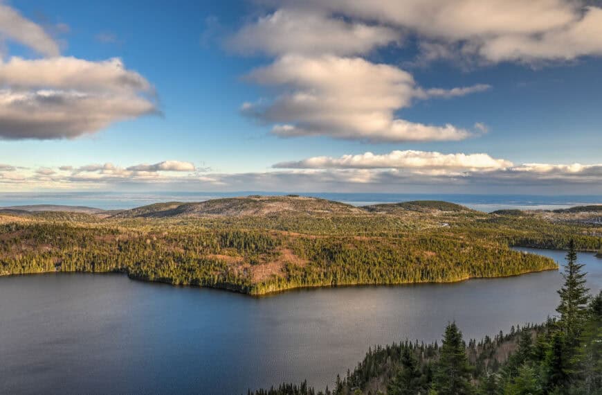
Trail of the Peaks / “Sentier des Cimes” (Franceville Sector)
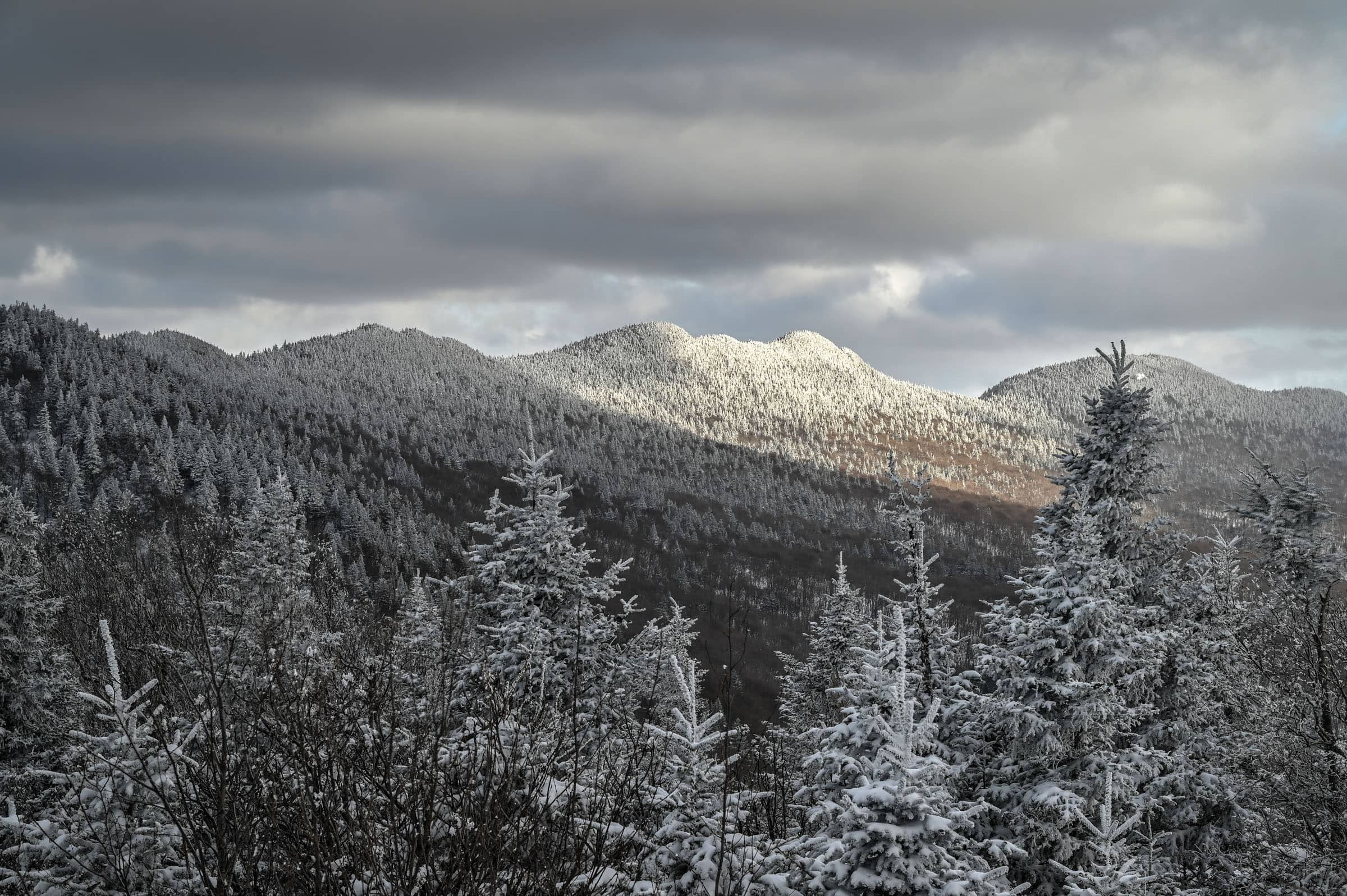
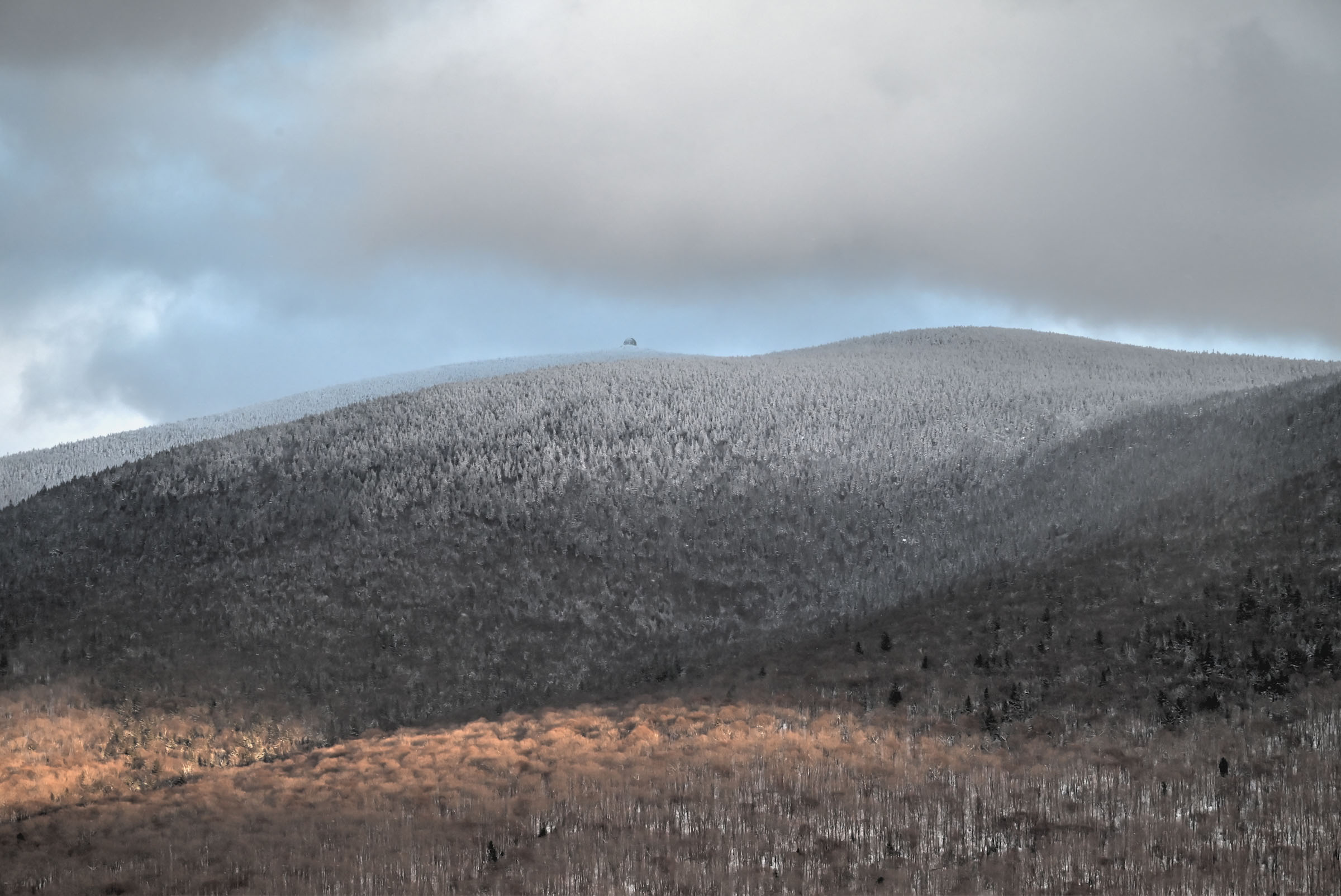
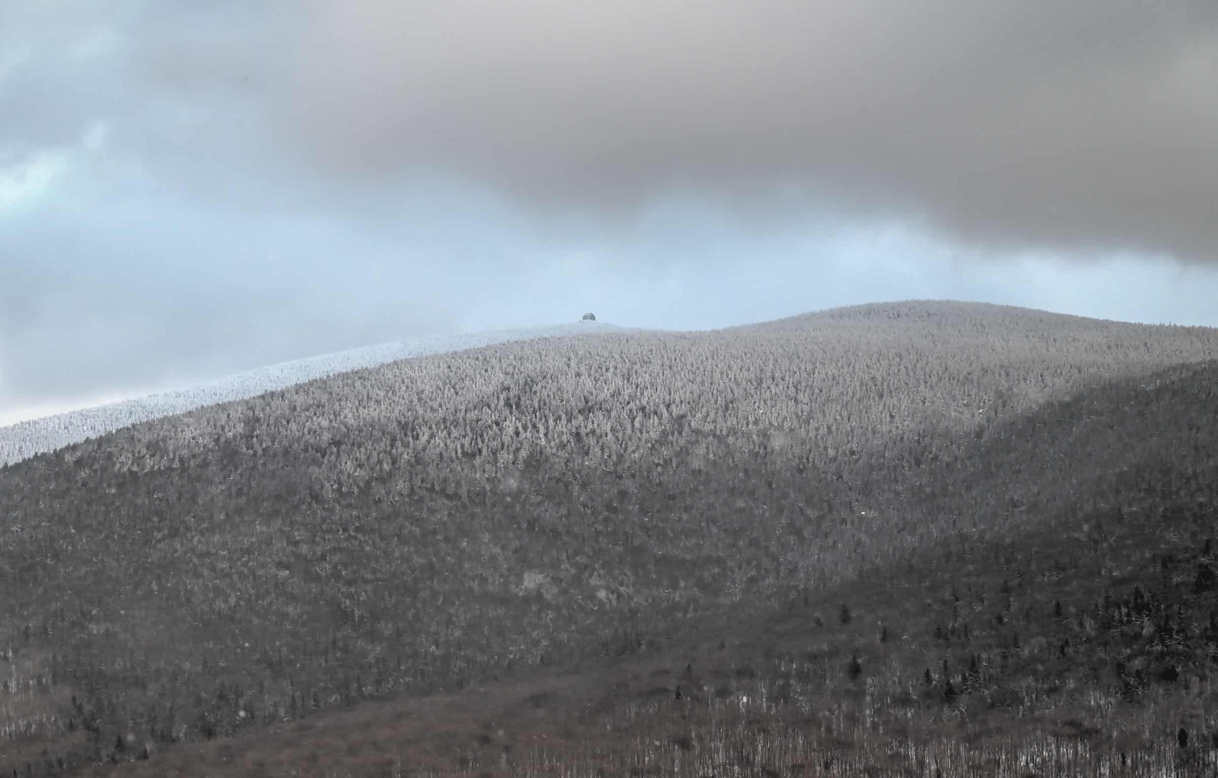
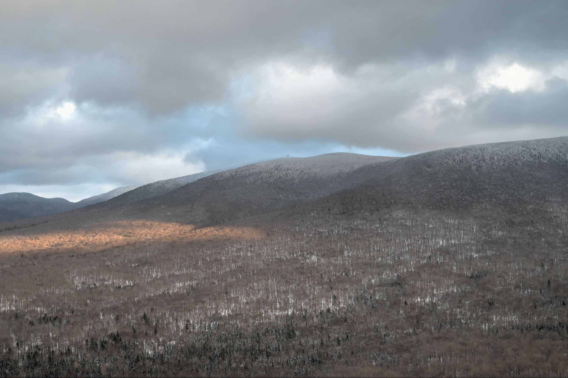
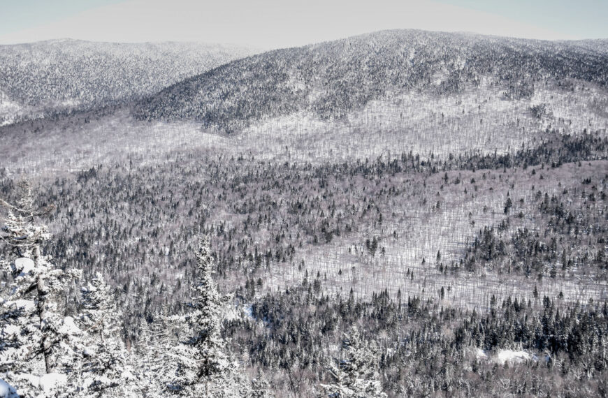
Also known as the Cimes Trail (“Sentier des Cimes” in French), this loop trail first slowly ascends the park’s northern mountain range and follows a ridgeline leading to the sector’s highest peak (Mont Franceville) at an altitude of 840 m (about 2750 feet). There are several beautiful viewpoints along the trail, some looking north beyond the park, and some looking south towards the park’s southern mountains, such as Mont Mégantic and Mont Saint Joseph. In particular, you’ll have great views of Mont Mégantic and its Observatory, from a distance.
After reaching the highest peak, the trail starts to descend through a series of switchbacks and starts to loop back towards the trailhead. The final few kilometres of the trail follow a valley river along a mostly flat path.
Distance: 12.4 km Route Type: Loop Elevation gain: 370 m (cumulative elevation gain: 390 m) AllTrails rating: (4.7, 1164 ratings (2024)) Average Duration: Most people complete the trail in about 3h15-3h45 Difficulty: Moderate
Escarpment Trail to Sugarloaf Mountain (Franceville Sector)
This is the shortest and most family-friendly of the best trail list. The trail follows a gentle climb for the first part of the trail until the climb intensifies as you make your way around and then over the smallest of the massif mountains, Sugarloaf Mountain (Montagne Pain de Sucre). There are a few viewpoints around the summit including one offering panoramic views of the Mont Mégantic to the east and the Mont Franceville to the north.
Distance: 7.1 km Route Type: Mostly out & back, partial loop near the middle Elevation gain: 190 m (cumulative elevation gain: 234 m) AllTrails rating: (4.7, 606 ratings (2024)) Duration: Most people complete the trail in about 1h45-2h15 Difficulty: Moderate
The national park has a few other trails available for those who perhaps don’t want to climb – their only downside is that they don’t reward with stunning viewpoints as with the trails listed above. That being said, they are all still very scenic trails going through various forested areas, often following a gently flowing river.
The River Trail (Franceville Sector)
This short out-and-back trail (2.6km) is essentially the first portion of the Escarpment trail described above, but it has you turn back toward the start once you reach a large bridge and river crossing. The trail is mostly flat (30m elevation gain).
The Talweg Trail (Franceville Sector)
This moderate out & back trail (8.4km) is essentially the last third of the Trail of the Peaks (Cimes trail) described above, the section that follows the valley river. There is a slight progressive elevation gain during the out portion of the trail (about 100m elevation gain), with the equivalent gentle descent on the way back.
The Soleil Trail (Observatory Sector)
This is a short loop trail that does require a bit of climbing (142m of elevation gain over 1.5km) but rewards you with a nice viewpoint at the midway point (the Soleil Belvedere). The total length of the tail is 3.4km, and the trailhead is the same as for the Mont Saint-Joseph Trail.
You’ll notice two other trails listed at the Soleil Trail trailhead, the Piedmont Trail (4.9km) and Pentecote Trail (7.8km). We don’t particularly recommend these trails as both involve a fair bit of additional elevation gain without much additional rewards. The Piedmont Trail only has one viewpoint (the same one as the Soleil Trail) and the Pentecote Trail only has one additional viewpoint. If you are willing to hike the Pentecote trail, we feel that you might as well try to make it to the Mont Saint-Joseph summit.
Where to Stay Near Mont Mégantic National Park
Due to the park’s remoteness, you might be inclined to spend the night somewhere nearby. There are several options including cabins within the park and several small B&Bs scattered around the park.
If you’re interested in staying within the park, accommodation options range from basic huts to modern Scandinavian-style cabins. It’s best to book ahead, as these get booked several months in advance, particularly for weekend stays.
Alternatively, if you would be more interested in a hotel with nearby restaurants, we can recommend the Microtel Inn & Suites in the nearby town of Lac Mégantic (a 40 minute drive from the National Park).
Well, that wraps it up! We hope you enjoyed our Guide on the Best Winter Hiking Trails in Mont Mégantic National Park and that it will prove useful for planning your trip to the beautiful Eastern Townships.